Downtown Providence in Providence County, Rhode Island — The American Northeast (New England)
Aquene. Eniskeetompowaug.
Peace be with you. All Tribes are Welcome.
| — | Roger Williams National Memorial | — |
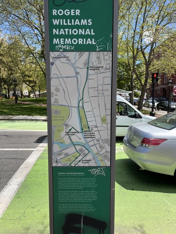
The junction of five Native American trails once occupied this stretch of North Main Street, between College Street and the Y-intersection at Mill Street. The Narragansett Trail or Pequot Path, as well as the Louquassuck, Pawtucket, Wampanoag, and Watchemocket and Montaup Trails connected tribes living in present-day Rhode Island, Massachusetts, and Connecticut for the purposes of trade and migration.
After the founding of Providence in 1636 by Roger Williams and his followers at this ideal crossroads, colonial settlers used these trails as well, integrating them into the structure of the city. Today, many of Rhode Island's major streets and highways continue to follow the general outlines of these trails, including the route of the R-Line, along Broad Street (Narragansett Trail or Pequot Path) and North Main Street (Pawtucket Trail).
The tribes that first fashioned these trails continue to live in Rhode Island, as well as nearby Connecticut and Massachusetts, and the people of these tribes continue to preserve and reinterpret their distinctive traditions today, such as crafting using clam and whelk shells for wampum
this page online
[Caption:]
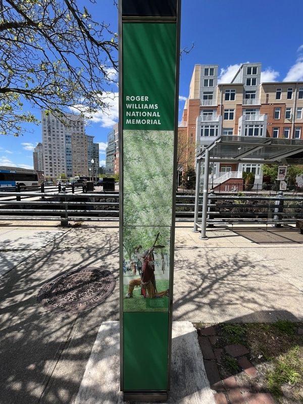
Braveheart of the Pokanoket Tribe performs a "sneak up" dance, which tells the story of a man's time in battle, at the Annual First Light Powwow in Burnside Park, 2013. Photo by Jeny Hernandez.
Erected by Rhode Island Public Transit Authority (RIPTA).
Topics. This historical marker is listed in these topic lists: Colonial Era • Indigenous Peoples and Communities • Roads & Vehicles • Settlements & Settlers. A significant historical year for this entry is 1636.
Location. 41° 49.72′ N, 71° 24.651′ W. Marker has been reported damaged. Marker is in Providence, Rhode Island, in Providence County. It is in Downtown Providence. It is at the intersection of Canal Street (U.S. 44) and Park Row West, on the right when traveling south on Canal Street. Touch for map. Marker is at or near this postal address: 199 Canal St, Providence RI 02903, United States of America. Touch for directions.

Regionally, this marker is on Narragansett Bay. It is also in the American Northeast, in New England, and on the Eastern Seaboard. Globally, it is in the North Atlantic Region, North America, the Western
Other nearby markers. At least 8 other markers are within walking distance of this location: Channeling Progress (within shouting distance of this marker); Roger Williams National Memorial (within shouting distance of this marker); The Railroad Days Along Canal Street (about 300 feet away, measured in a direct line); Lady Carrington and The Blackstone Canal (about 300 feet away); The Prophet of Religious Freedom (about 300 feet away); The Meeting Street School (about 500 feet away); a different marker also named The Meeting Street School (about 500 feet away); Realizing Providence (about 500 feet away). Touch for a list and map of all markers in Providence.
Other markers no longer nearby. Gone From Hence (was within shouting distance of this marker but has been replaced with another marker now near it); A Changing Nation (was about 400 feet away but has been replaced with another marker now near it).
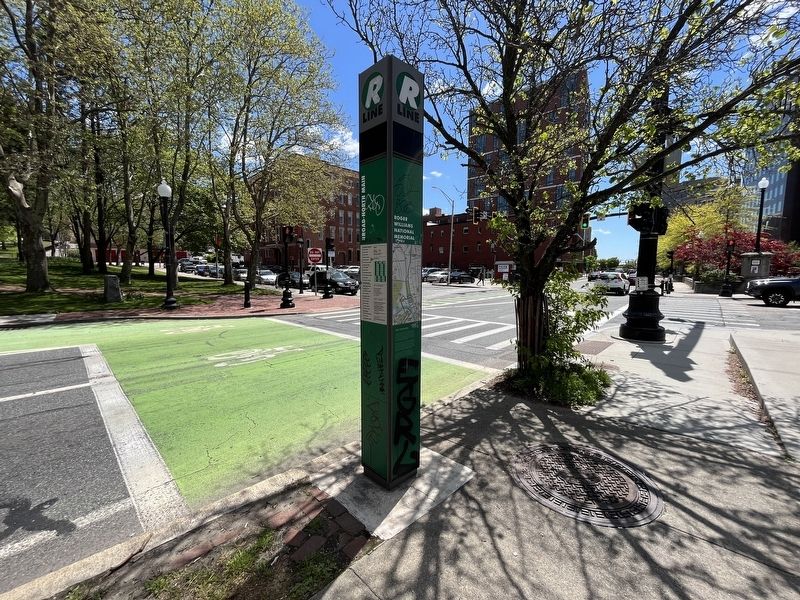
More about this marker. Unfortunately, the marker has been defaced.
Photographed by Devry Becker Jones (CC0), July 11, 2024
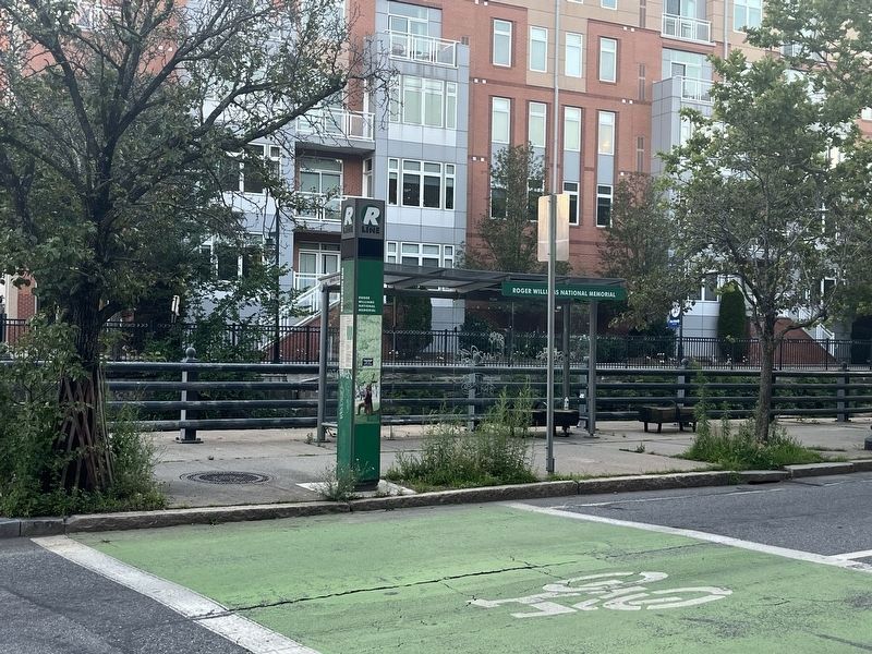
4. The bus station at Roger Williams National Memorial
Credits. This page was last revised on July 18, 2024. It was originally submitted on May 12, 2023, by Devry Becker Jones of Washington, District of Columbia. This page has been viewed 202 times since then and 32 times this year. Photos: 1, 2, 3. submitted on May 12, 2023, by Devry Becker Jones of Washington, District of Columbia. 4. submitted on July 18, 2024, by Devry Becker Jones of Washington, District of Columbia.
