Near Crawford in Dawes County, Nebraska — The American Midwest (Upper Plains)
Red Cloud Agency
Photographed by Connor Olson, May 25, 2021
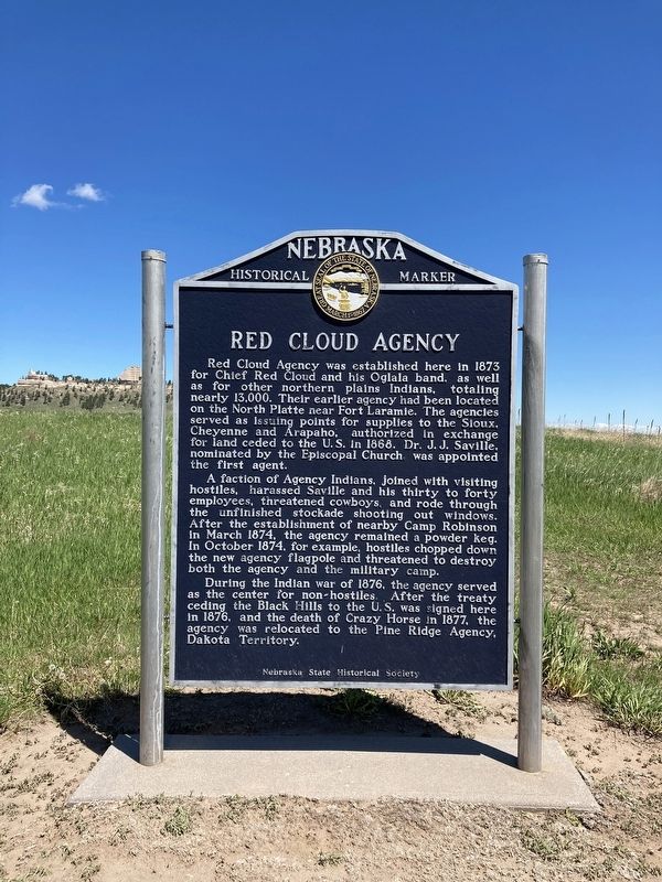
1. Red Cloud Agency Marker
Red Cloud Agency was established here in 1873 for Chief Red Cloud and his Oglala band, as well as for other northern plains Indians, totaling nearly 13,000. Their earlier agency had been located on the North Platte near Fort Laramie. The agencies served as issuing points for supplies to the Sioux, Cheyenne and Arapaho, authorized in exchange for land ceded to the U.S. in 1868. Dr. J. J. Saville, nominated by the Episcopal Church was appointed the first agent.
A faction of Agency Indians, joined with visiting hostiles, harassed Saville and his thirty to forty employees, threatened cowboys, and rode through the unfinished stockade shooting out windows. After the establishment of nearby Camp Robinson in March 1874, the agency remained a powder keg. In October 1874, for example, hostiles chopped down the new agency flagpole and threatened to destroy both the agency and the military camp.
During the Indian war of 1876, the agency served as the center for non-hostiles. After the treaty ceding the Black Hills to the U.S. was signed here in 1876, and the death of Crazy Horse in 1877, the agency was relocated to the Pine
this page online
Erected by Nebraska State Historical Society. (Marker Number 116.)
Topics and series. This historical marker is listed in these topic lists: Forts and Castles • Indigenous Peoples and Communities • Wars, US Indian. In addition, it is included in the Nebraska State Historical Society series list.
Location. 42° 40.248′ N, 103° 26.205′ W. Marker is near Crawford, Nebraska, in Dawes County. It is on Bridges to Buttes Highway (U.S. 20) near Soldier Creek Road. Touch for map. Marker is at or near this postal address: 3200 Nebraska Highway 20, Crawford NE 69339, United States of America. Touch for directions.

Regionally, this marker is in the Nebraska Panhandle. It is also in the American Midwest, in the Corn Belt, on the prairies, on the Great Plains, on the Northern Plains, and specifically on the High Plains. Globally, it is in North America, the Western Hemisphere, the Western World, and the Anglosphere. Historically, it finds itself in what was once the Louisiana Purchase.
Other nearby markers. At least 8 other markers are
Photographed by Connor Olson, May 25, 2021
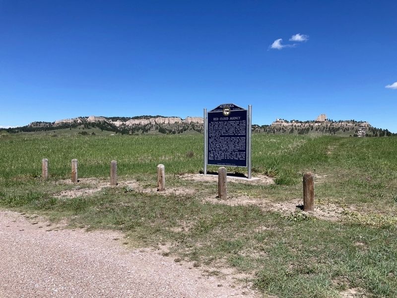
2. Red Cloud Agency Marker
Also see . . . Red Cloud Agency. (Submitted on June 3, 2021, by Connor Olson of Menomonee Falls, Wisconsin.)
Credits. This page was last revised on March 5, 2026. It was originally submitted on May 30, 2021, by Connor Olson of Menomonee Falls, Wisconsin. This page has been viewed 1,383 times since then and 121 times this year. Last updated on May 14, 2023, by Jeff Leichsenring of Garland, Texas. Photos: 1, 2. submitted on May 30, 2021, by Connor Olson of Menomonee Falls, Wisconsin. • J. Makali Bruton was the editor who published this page.
