
Stockville in Frontier County, Nebraska — The American Midwest (Upper Plains)
Frontier County
⎯⎯⎯
Stockville
Photographed by Cosmos Mariner, July 6, 2021
1. Frontier County Stockville Marker
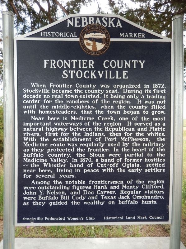
When Frontier County was organized in 1872, Stockville became the county seat. During its first decade no real town existed, it being only a trading center for the ranchers of the region. It was not until the middle-eighties, when the county filled with homesteaders, that the town began to grow.
Near here is Medicine Creek, one of the most important water-ways of the region. It served as a natural highway between the Republican and Platte Rivers, first for the Indians, then for the whites. With the establishment of Fort McPherson, the Medicine route was regularly used by the military as they protected the frontier. In the heart of the buffalo country, the Sioux were partial to the Medicine Valley. In 1870, a band of former hostiles — the Whistler band of Cut-off Oglala, settled near here, living in peace with the early settlers for several years.
Among the notable frontiersmen of the region were outstanding figures Hank and Monty Clifford, John Y. Nelson, and Doc Carver. Regular visitors were Buffalo Bill Cody and Texas Jack Omohundro, as they guided the wealthy on buffalo hunts.
Erected by Stockville Federated Women's
this page online
Topics and series. This historical marker is listed in these topic lists: Forts and Castles • Indigenous Peoples and Communities • Settlements & Settlers • Waterways & Vessels. In addition, it is included in the Nebraska State Historical Society series list.
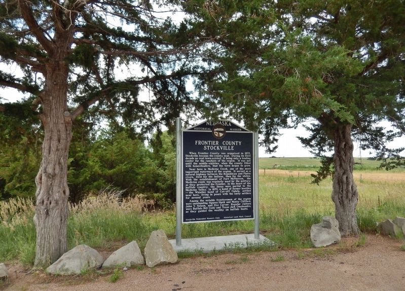
Location. 40° 32.177′ N, 100° 23.866′ W. Marker is in Stockville, Nebraska, in Frontier County. It is on State Highway 18 ¾ mile west of Wellington Street, on the left when traveling west. The marker is located in a pull-out on the south side of the highway. Touch for map. Marker is in this post office area: Stockville NE 69042, United States of America. Touch for directions.

Regionally, this marker is in Eastern Nebraska and in the Republican River Valley. It is also in the American Midwest, in the Corn Belt, on the prairies, on the Great Plains, and specifically on the High Plains. Globally, it is in North America, the Western Hemisphere, the Western World, and the Anglosphere. Historically, it finds itself in what was once the Louisiana
Photographed by Cosmos Mariner, July 6, 2021
2. Frontier County Stockville Marker
Other nearby markers. At least one other marker is within 4 miles of this marker, measured as the crow flies: Ft. McPherson Trail (approx. 3.8 miles away).
Also see . . . Frontier County, Nebraska. Wikipedia entry (Submitted on December 24, 2022, by Larry Gertner of New York, New York.)
Credits. This page was last revised on December 20, 2024. It was originally submitted on July 9, 2021, by Cosmos Mariner of Cape Canaveral, Florida. This page has been viewed 1,530 times since then and 74 times this year. Last updated on May 14, 2023, by Jeff Leichsenring of Garland, Texas. Photos: 1. submitted on July 9, 2021, by Cosmos Mariner of Cape Canaveral, Florida. 2. submitted on July 10, 2021, by Cosmos Mariner of Cape Canaveral, Florida. • J. Makali Bruton was the editor who published this page.
