Near Pinson in Madison County, Tennessee — The American South (East South Central)
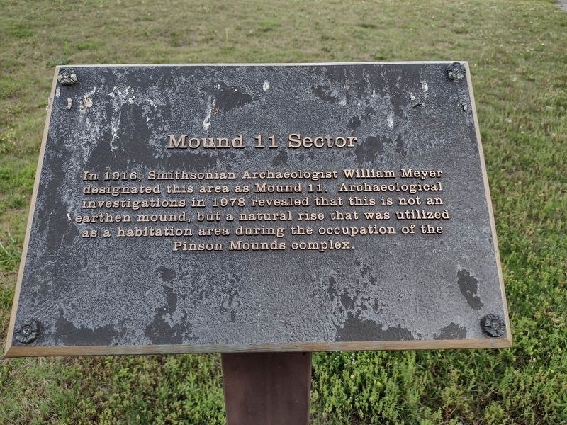
Mound 11 Sector
Photographed by David Austin
1. Mound 11 Sector Marker
Topics. This historical marker is listed in these topic lists: Anthropology & Archaeology • Indigenous Peoples and Communities. A significant historical year for this entry is 1916.
Location. 35° 29.854′ N, 88° 40.937′ W. Marker is near Pinson, Tennessee, in Madison County. It can be reached from Pinson Mound Road 0.8 miles south of Ozier Road (Tennessee Route 197). The marker is located on the grounds of the Pinson Mounds State Archaeological Park. On the Left of trail leading out the rear of museum. Touch for map. Marker is in this post office area: Pinson TN 38366, United States of America. Touch for directions.

Regionally, this marker is in West Tennessee. It is also in the American South, specifically in the Deep South, and specifically in the Upper South. Globally, it is in North America, the Western Hemisphere, the Western World, and
this page online
Other nearby markers. At least 8 other markers are within walking distance of this marker: The Middle Woodland Tradition (a few steps from this marker); Pinson Mounds in the Mississippi Delta (a few steps from this marker); The Pinson, Bray and Johnston Sites (a few steps from this marker); Pinson Mounds in the Mid South (a few steps from this marker); Sauls Mound (approx. 0.2 miles away); a different marker also named Sauls Mound (approx. 0.2 miles away); Mound 10 (approx. 0.2 miles away); Mound 12 (approx. ¼ mile away). Touch for a list and map of all markers in Pinson.
Photographed by James Hulse, October 1, 2023
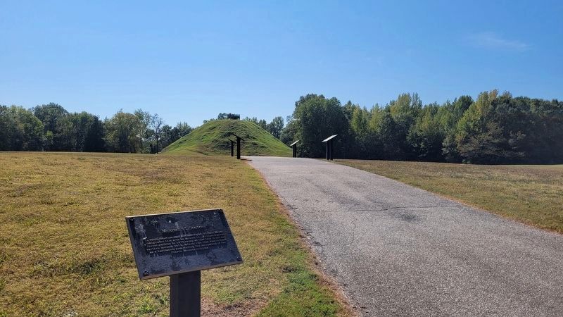
2. The view of the Mound 11 Sector Marker with Saul’s Mound in the background
Photographed by David Austin
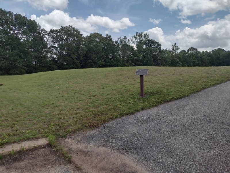
3. Mound 11 Sector Marker
Credits. This page was last revised on October 17, 2023. It was originally submitted on May 16, 2023, by David Austin of Scotts Hill, Tennessee. This page has been viewed 179 times since then and 16 times this year. Photos: 1. submitted on May 16, 2023, by David Austin of Scotts Hill, Tennessee. 2. submitted on October 17, 2023, by James Hulse of Medina, Texas. 3. submitted on May 16, 2023, by David Austin of Scotts Hill, Tennessee. • James Hulse was the editor who published this page.
