Barrington in Bristol County, Rhode Island — The American Northeast (New England)
Osamequin
Great Leader of the Pokanokets
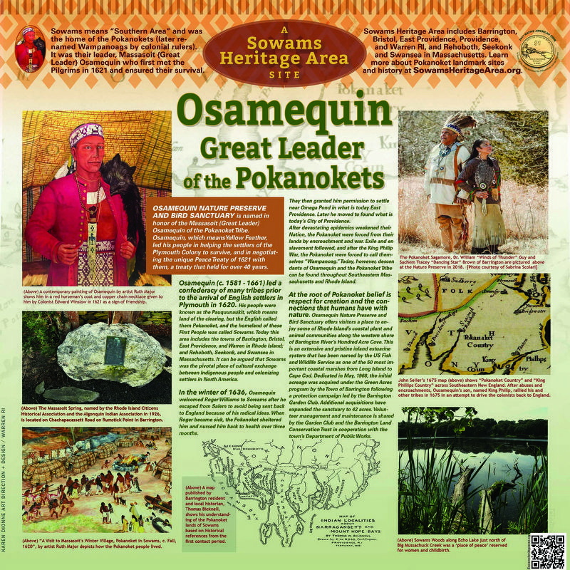
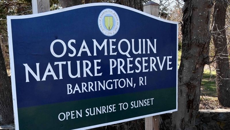
Osamequin Nature Preserve and Bird Sanctuary is named in honor of the Massasoit (Great Leader) Osamequin (or Ousamequin) of the Pokanoket Tribe. Osamequin, which means Yellow Feather, led his people in helping the settlers of the Plymouth Colony to survive, and in negotiating the unique Peace Treaty of 1621 with them, a treaty that held for over 40 years. Osamequin (c. 1581 - 1661) led a confederacy of many tribes prior to the arrival of English settlers in Plymouth in 1620. His people were known as the Pauquunaukit, which means land of the clearing, but the English called them Pokanoket, and the homeland of these First People was called Sowams. Today this area includes the towns of Barrington, Bristol, East Providence, and Warren in Rhode Island; and Rehoboth, Seekonk, and Swansea in Massachusetts. It can be argued that Sowams was the pivotal place of cultural exchange between Indigenous people and colonizing settlers in North America.
In the winter of 1636, Osamequin welcomed Roger Williams to Sowams after he escaped from Salem to avoid being sent back to England because of his radical ideas. When Roger became sick, the Pokanoket sheltered him and nursed him back to health over three months. They then granted him permission to settle near Omega Pond in what is today East Providence. Later he moved to found what is today’s City of Providence.
After devastating epidemics weakened their Nation, the Pokanoket were forced from their lands by encroachment and war. Exile and enslavement followed, and after the King Philip War, the Pokanoket were forced to call themselves “Wampanoag.” Today, however, descendants of Osamequin and the Pokanoket Tribe can be found throughout Southeastern Massachusetts and Rhode Island.
At the root of Pokanoket belief is respect for creation and the connections that humans have with nature. Osamequin Nature Preserve and Bird Sanctuary offers visitors a place to enjoy some of Rhode Island’s coastal plant and animal communities along the western shore of Barrington River’s Hundred Acre Cove. This is an extensive and pristine inland estuarine system that has been named by the US Fish and Wildlife Service as one of the 50 most important coastal marshes from Long Island to Cape Cod. Dedicated in May, 1968, the initial acreage was acquired under the Green Acres program by the Town of Barrington following a protection campaign led by the Barrington Garden Club. Additional acquisitions have expanded the sanctuary to 42 acres. Volunteer management and maintenance is shared by the Garden Club and the Barrington Land Conservation Trust in cooperation with the town’s Department of Public Works.
Erected 2023.
Topics. This historical marker is listed in these topic lists: Colonial Era • Native Americans • Settlements & Settlers • Wars, US Indian. A significant historical month for this entry is May 1968.
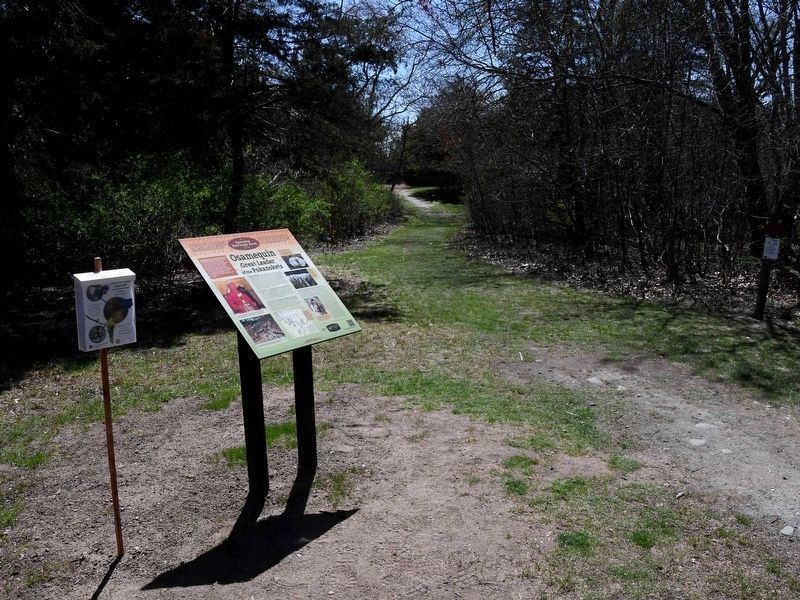
Location. 41° 45.641′ N, 71° 19.353′ W. Marker is in Barrington, Rhode Island, in Bristol County. Marker is at the intersection of Wampanoag Trail (Rhode Island Route 114) and Kyle Circle, on the right when traveling north on Wampanoag Trail. Touch for map. Marker is at or near this postal address: 1580 Wampanoag Trail, Barrington RI 02806, United States of America. Touch for directions.
Other nearby markers. At least 8 other markers are within 3 miles of this marker, measured as the crow flies. Barrington Center (approx. 1.9 miles away); Crescent Park Looff Carousel (approx. 1.9 miles away); Myles Garrison House Site (approx. 2.1 miles away in Massachusetts); Site of Jonathan Barney - Mason Barney Shipyard (approx. 2.1 miles away in Massachusetts); Police Cove (approx. 2.1 miles away); New Meadow Neck (approx. 2.2 miles away); Miles (Myles) Bridge (approx. 2.2 miles away in Massachusetts); The Warren Bridge (approx. 2.4 miles away). Touch for a list and map of all markers in Barrington.
Also see . . .
1. Osamequin Nature Trails and Bird Sanctuary
. (Submitted on May 19, 2023, by Michael Herrick of Southbury, Connecticut.)
2. Sowams Heritage Area. (Submitted on May 18, 2023, by David Weed of Warren, Rhode Island.)
Credits. This page was last revised on December 13, 2023. It was originally submitted on May 18, 2023, by David Weed of Warren, Rhode Island. This page has been viewed 164 times since then and 55 times this year. Photos: 1, 2. submitted on May 18, 2023, by David Weed of Warren, Rhode Island. 3. submitted on November 12, 2023, by David Weed of Warren, Rhode Island. • Michael Herrick was the editor who published this page.
Editor’s want-list for this marker. A wide view photo of the marker and its surroundings. • Can you help?


