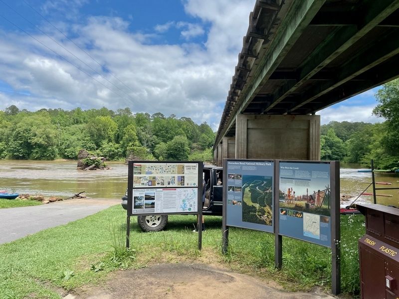
Near Daviston in Tallapoosa County, Alabama — The American South (East South Central)
Who Were the Creek?
— Horseshoe Bend National Military Park —
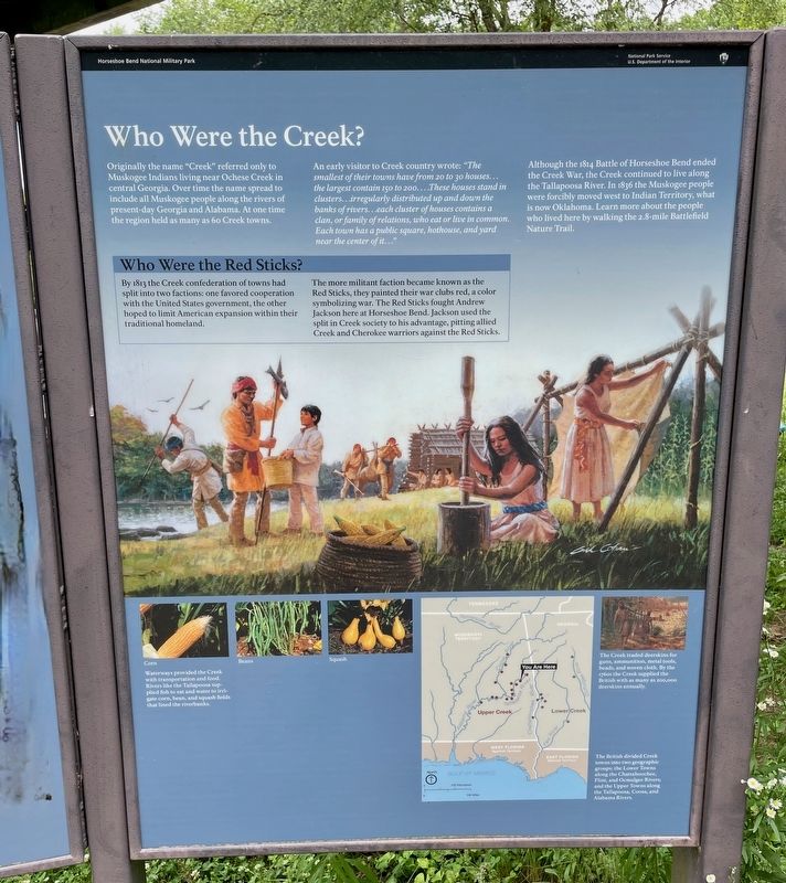
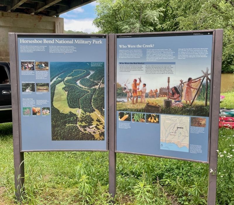
An early visitor to Creek country wrote: "The smallest of their towns have from 20 to 30 houses... the largest contain 150 to 200....These houses stand in clusters...irregularly distributed up and down the banks of rivers...each cluster of houses contains a clan, or family of relations, who eat or live in common. Each town has a public square, hothouse, and yard near the center of it..."
Although the 1814 Battle of Horseshoe Bend ended the Creek War, the Creek continued to live along the Tallapoosa River. In 1836 the Muskogee people were forcibly moved west to Indian Territory, what is now Oklahoma. Learn more about the people who lived here by walking the 2.8-mile Battlefield Nature Trail.
Waterways provided the Creek with transportation and food. Rivers like the Tallapoosa sup- plied fish to eat and water to irri- gate corn, bean, and squash fields that lined the riverbanks.
The Creek traded deerskins for guns, ammunition, metal tools, beads, and woven cloth. By the 1760s the Creek supplied the British with as many as 200,000 deerskins annually.
The British divided Creek towns into two geographic groups: the Lower Towns along the Chattahoochee, Flint, and Ocmulgee Rivers; and the Upper Towns along the Tallapoosa, Coosa, and Alabama Rivers.
Who Were the Red Sticks?
By 1813 the Creek confederation of towns had split into two factions: one favored cooperation with the United States government, the other hoped to limit American expansion within their traditional homeland.
The more militant faction became known as the Red Sticks, they painted their war clubs red, a color symbolizing war. The Red Sticks fought Andrew Jackson here at Horseshoe Bend. Jackson used the split in Creek society to his advantage, pitting allied Creek and Cherokee warriors against the Red Sticks.
Erected by National Park Service · U.S. Department of the Interior.
Topics. This historical marker is listed in these topic lists: Native Americans • Wars, US Indian • Waterways & Vessels. A significant historical year for this entry is 1814.
Location. 32° 58.563′ N, 85° 44.464′ W. Marker is near Daviston, Alabama, in Tallapoosa County. Marker can be reached from Horseshoe Bend Road (Alabama Route 49) 2.1 miles north of Freeman Road, on
the left when traveling north. Located at the Horseshoe Bend Boat Ramp on the Tallapoosa River within the Horseshoe National Military Park. Touch for map. Marker is in this post office area: Daviston AL 36256, United States of America. Touch for directions.
Other nearby markers. At least 8 other markers are within walking distance of this marker. Miller Covered Bridge (a few steps from this marker); Futile Escape (approx. 0.2 miles away); Horseshoe Bend Battleground Monument (approx. 0.3 miles away); Gun Hill (approx. 0.3 miles away); While the Long Roll Was Beating (approx. 0.3 miles away); Charge! (approx. 0.3 miles away); Designed for Defense (approx. 0.3 miles away); Major Lemuel P. Montgomery (approx. 0.3 miles away). Touch for a list and map of all markers in Daviston.
Credits. This page was last revised on May 21, 2023. It was originally submitted on May 21, 2023, by Mark Hilton of Montgomery, Alabama. This page has been viewed 92 times since then and 22 times this year. Photos: 1, 2, 3. submitted on May 21, 2023, by Mark Hilton of Montgomery, Alabama.


