Green Prairie Township near Little Falls in Morrison County, Minnesota — The American Midwest (Upper Plains)
Ojibwe Presence
Charles A. Lindbergh State Park
— Little Elk/Schoessling Unit —
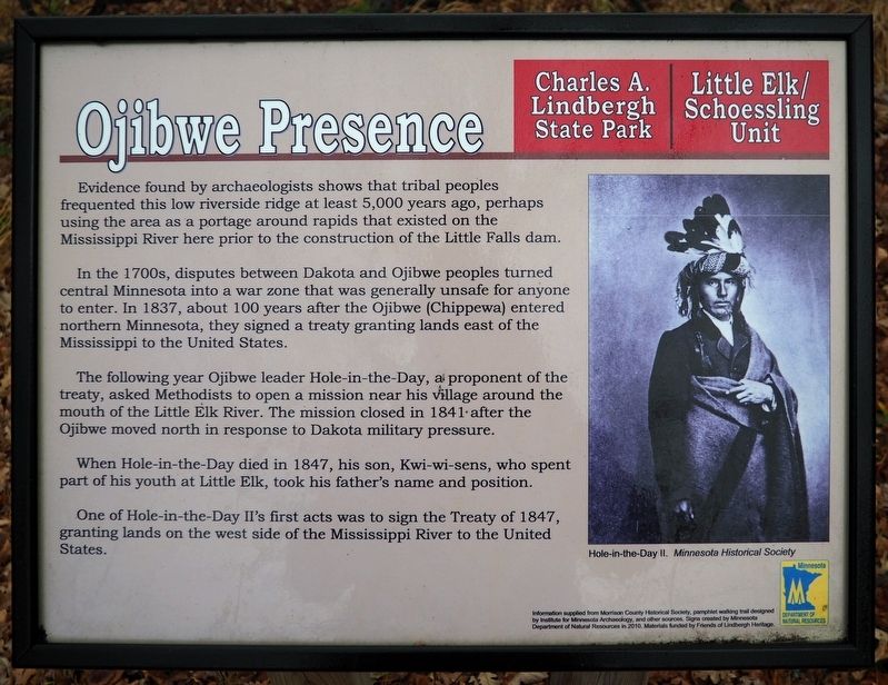
In the 1700s, disputes between Dakota and Ojibwe peoples turned central Minnesota into a war zone that was generally unsafe for anyone to enter. In 1837, about 100 years after the Ojibwe (Chippewa) entered northern Minnesota, they signed a treaty granting lands east of the Mississippi to the United States.
The following year Ojibwe leader Hole-in-the-Day, a proponent of the treaty, asked Methodists to open a mission near his village around the mouth of the Little Elk River. The mission closed in 1841 after the Ojibwe moved north in response to Dakota military pressure.
When Hole-in-the-Day died in 1847, his son, Kwi-wi-sens, who spent part of his youth at Little Elk, took his father's name and position.
One of Hole-in-the-Day II's first acts was to sign the Treaty of 1847, granting lands on the west side of the Mississippi River to the United States.
Caption:
Hole-in-the-Day II. Minnesota Historical Society
Erected 2010 by Minnesota Department of Natural Resources.
Topics. This historical marker is listed in these topic lists: Anthropology & Archaeology • Churches & Religion • Native Americans • Waterways & Vessels.
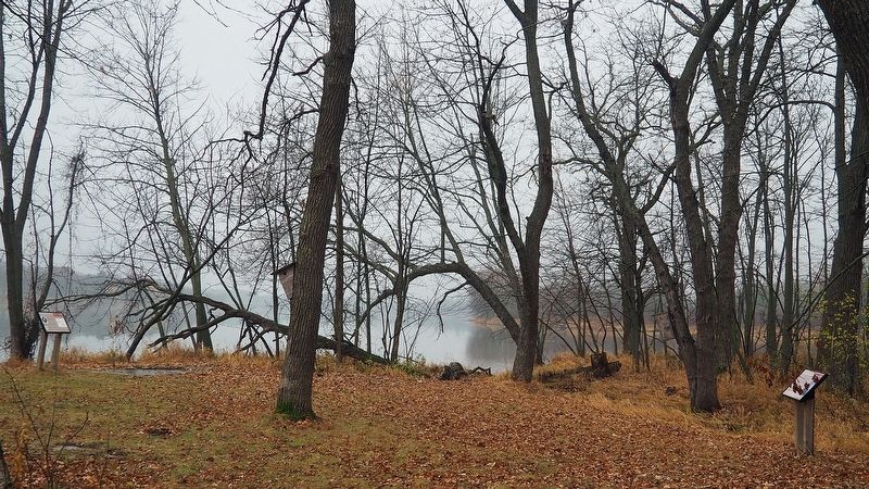
Location. 46° 0.604′ N, 94° 21.768′ W. Marker is near Little Falls, Minnesota, in Morrison County. It is in Green Prairie Township. Marker can be reached from Grouse Road. The marker is in the Little Elk unit of Charles A. Lindbergh State Park along the loop interpretive trail. Touch for map. Marker is at or near this postal address: 17443 Grouse Road, Little Falls MN 56345, United States of America. Touch for directions.
Other nearby markers. At least 8 other markers are within walking distance of this marker. Pike and Nicollet's Visits (a few steps from this marker); Area Settlement (within shouting distance of this marker); Milling District (about 400 feet away, measured in a direct line); Log Jams (about 500 feet away); Institute for MN Archeology Site MO20 (approx. 0.2 miles away); The French Fort (approx. ¼ mile away); Major Morrill's Road (approx. 0.4 miles away); Interesting Names (approx. 0.4 miles away). Touch for a list and map of all markers in Little Falls.
Credits. This page was last revised on May 26, 2023. It was originally submitted on May 24, 2023, by McGhiever of Minneapolis, Minnesota. This page has been viewed 62 times since then and 12 times this year. Photos: 1, 2. submitted on May 24, 2023, by McGhiever of Minneapolis, Minnesota. • J. Makali Bruton was the editor who published this page.

