Prairie du Rocher in Randolph County, Illinois — The American Midwest (Great Lakes)
Prairie Du Rocher
Historic Walking Trail
Photographed by Thomas Smith, May 15, 2023
1. Prairie Du Rocher Marker
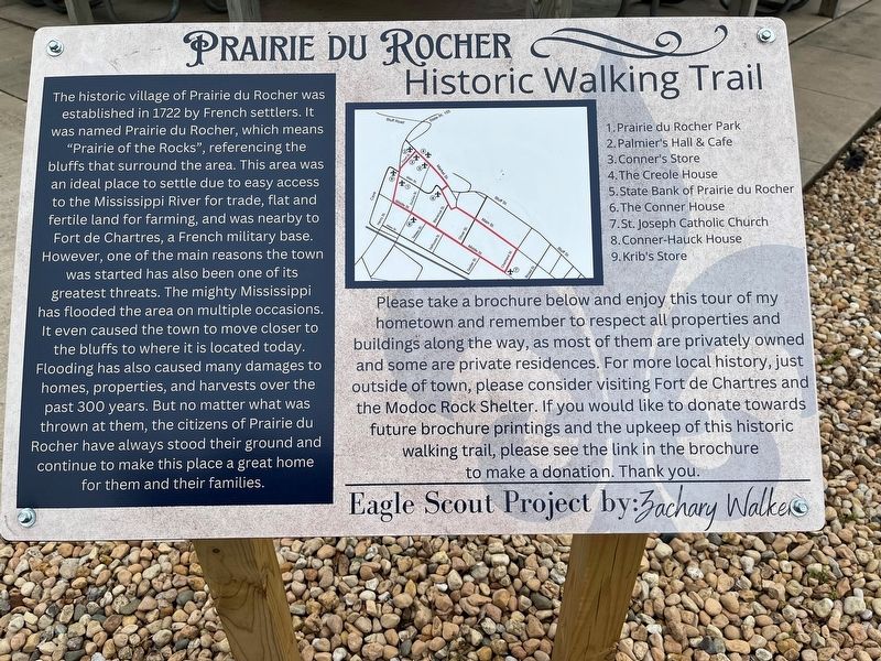
The historic village of Prairie du Rocher was established in 1722 by French settlers. It was named Prairie du Rocher, which means "Prairie of the Rocks", referencing the bluffs that surround the area. This area was an ideal place to settle due to easy access to the Mississippi River for trade, flat and fertile land for farming, and was nearby to Fort de Chartres, a French military base. However, one of the main reasons the town was started has also been one of its greatest threats. The mighty Mississippi has flooded the area on multiple occasions. It even caused the town to move closer to the bluffs to where it is located today. Flooding has also caused many damages to homes, properties, and harvests over the past 300 years. But no matter what was thrown at them, the citizens of Prairie du Rocher have always stood their ground and continue to make this place a great home for them and their families.
[Map Legend:] 1. Prairie du Rocher Park
2. Palmier's Hall & Cafe
3. Conner's Store
4. The Creole House
5. State Bank of Prairie du Rocher
6. The Conner House
7. St. Joseph Catholic Church
8. Conner-Hauck House
this page online
9. Krib's Store
Please take a brochure below and enjoy this tour of my hometown and remember to respect all properties and buildings along the way, as most of them are privately owned and some are private residences. For more local history, just outside of town, please consider visiting Fort de Chartres and the Modoc Rock Shelter. If you would like to donate towards future brochure printings and the upkeep of this historic walking trail, please see the link in the brochure to make a donation. Thank you. Eagle Scout Project by Zachary Walker
Topics. This historical marker is listed in these topic lists: Colonial Era • Immigration • Settlements & Settlers. A significant historical year for this entry is 1722.
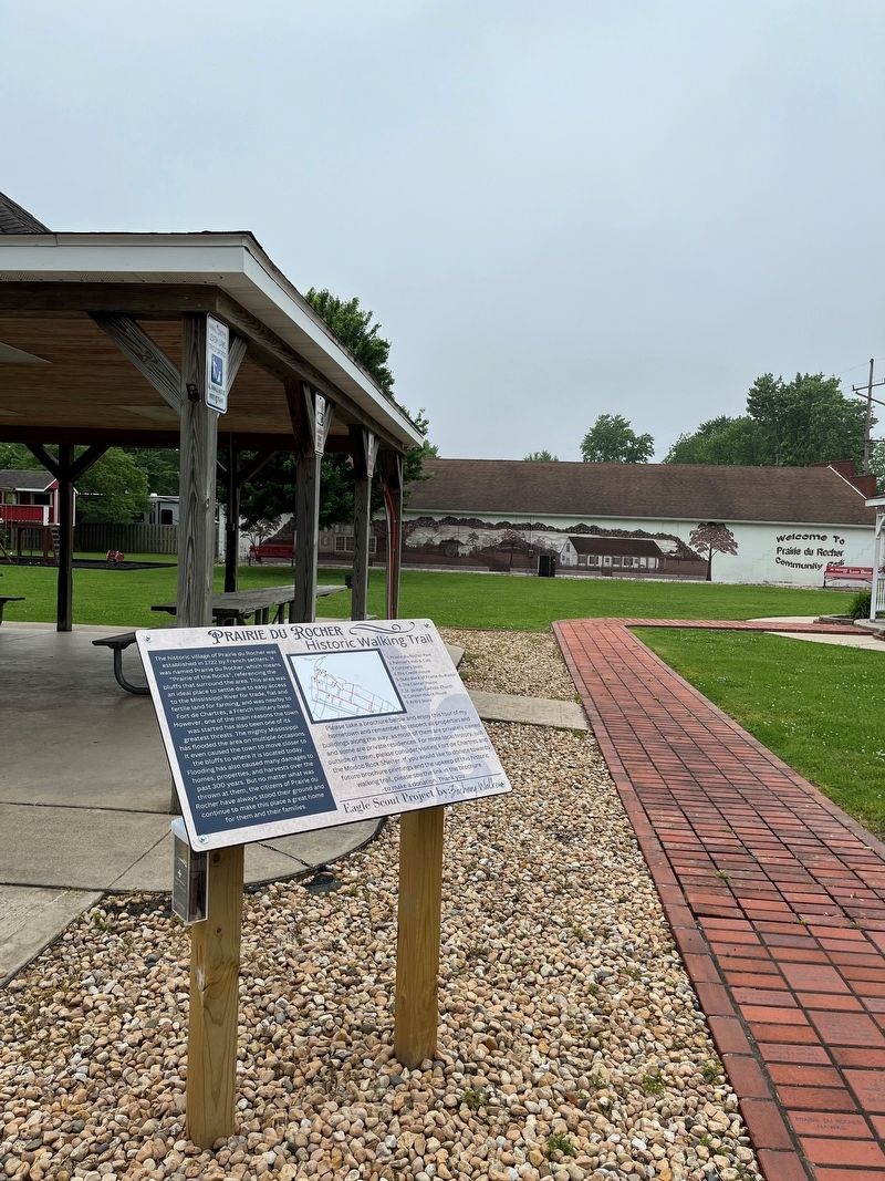
Location. 38° 5.086′ N, 90° 5.923′ W. Marker is in Prairie du Rocher, Illinois, in Randolph County. It is on Main Street just east of Henry Street (State Road 155), on the right when traveling east. Touch for map. Marker is at or near this postal address: 220 Main St, Prairie du Rocher IL 62277, United States of America. Touch for directions.

Regionally, this marker is in Southern Illinois — Little Egypt. It is
Photographed by Thomas Smith, May 15, 2023
2. Prairie Du Rocher Marker
Other nearby markers. At least 8 other markers are within walking distance of this marker: In Dedication Honor and Memory (a few steps from this marker); Krib's Store (within shouting distance of this marker); Prairie Du Rocher, Illinois (about 300 feet away, measured in a direct line); State Bank of Prairie Du Rocher (about 400 feet away); Conner's Store (about 400 feet away); The Creole House (about 500 feet away); Lee- Brickey Mansion Destroyed (about 500 feet away); 1993 - Prairie du Rocher Spared (about 500 feet away). Touch for a list and map of all markers in Prairie du Rocher.
Credits. This page was last revised on August 28, 2026. It was originally submitted on May 24, 2023, by Thomas Smith of Waterloo, Ill. This page has been viewed 488 times since then and 63 times this year. Photos: 1, 2. submitted on May 24, 2023, by Thomas Smith of Waterloo, Ill. • Devry Becker Jones was the editor who published this page.
