Hastings in St. Johns County, Florida — The American South (South Atlantic)
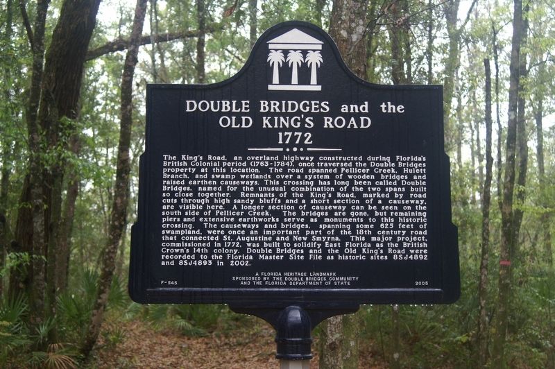
Double Bridges and the Old King's Road 1772
Inscription.
The King's Road, an overland highway constructed during Florida's British Colonial period (1763-1784), once traversed the Double Bridges property at this location. The road spanned Pellicer Creek, Hulett Branch, and swamp wetlands over a system of wooden bridges and raised earthen causeways. This crossing has long been called Double Bridges, named for the unusual combination of the two spans built so close together. Remnants of the King's Road, marked by road cuts through high sandy bluffs and a short section of a causeway, are visible here. A longer section of causeway can be seen on the south side of Pellicer Creek. The bridges are gone, but remaining piers and extensive earthworks serve as monuments to this historic crossing. The causeways and bridges, spanning some 625 feet of swampland, were once an important part of the 18th century road that connected St. Augustine and New Smyrna. This major project, commissioned in 1772, was built to solidify East Florida as the British Crown's 14th colony. Double Bridges and the Old King's Road were recorded to the Florida Master Site File as historic sites 8SJ4892 and 8SJ4893 in 2002.
Erected 2005 by The Double Bridges Community and the Florida Department of State. (Marker Number F-545.)
Topics. This historical marker is listed in these topic lists: Colonial Era • Roads & Vehicles • Waterways & Vessels. A significant historical year for this entry is 1772.
Location. 29° 39.047′ N, 81° 17.465′ W. Marker is in Hastings, Florida, in St. Johns County. Marker is on Dark Horse Lane, 0.2 miles south of County Route 204, on the right when traveling south. Marker is in a gated community, so access is limited. Marker is at the end of Dark Horse Lane. Touch for map. Marker is at or near this postal address: 235 Dark Horse Ln, Hastings FL 32145, United States of America. Touch for directions.
Other nearby markers. At least 8 other markers are within 5 miles of this marker, measured as the crow flies. King's Road (approx. 1.8 miles away); Welcome to Hiram Faver Trail (approx. 2.7 miles away); People Have Been in Northeast Florida for 7,500 years (approx. 2.7 miles away); Early Settlers on This Land (approx. 2.7 miles away); Princess Place Estate (approx. 3.3 miles away); Florida Honors and Remembers our POW’s and MIA’s (approx. 4.2 miles away); Marineland-The World’s First Oceanarium (approx. 4.8 miles away); Marineland (approx. 4.8 miles away).
Credits. This page was last revised on May 25, 2023. It was originally submitted on May 25, 2023, by Tim Fillmon of Webster, Florida. This page has been viewed 84 times since then and 13 times this year. Photo 1. submitted on May 25, 2023, by Tim Fillmon of Webster, Florida.
Editor’s want-list for this marker. A wide view photo of the marker and the surrounding area in context. • Can you help?
