Peñitas in Hidalgo County, Texas — The American South (West South Central)
Peñitas
Photographed by James Hulse, April 22, 2023
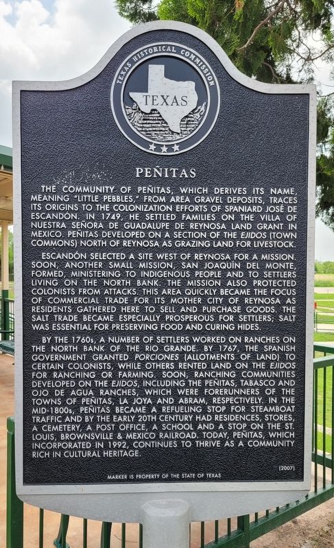
1. Peñitas Marker
Escandón selected a site west of Reynosa for a mission. Soon, another small mission, San Joaquin del Monte, formed, ministering to indigenous people and to settlers living on the north bank. The mission also protected colonists from attacks. This area quickly became the focus of commercial trade for its mother city of Reynosa as residents gathered here to sell and purchase goods. The salt trade became especially prosperous for settlers; salt was essential for preserving food and curing hides.
By the 1760s, a number of settlers worked on ranches on the north bank of the Rio Grande. By 1767, the Spanish government granted porciones (allotments of land) to certain colonists, while others rented land on the ejidos for ranching or farming. Soon, ranching communities developed on the ejidos, including the Penitas, Tabasco and Ojo de Agua ranches, which were forerunners of the towns of Peñitas, La Joya and Abram, respectively. In the mid-1800s, Peñitas became a refueling stop for steamboat traffic and by the early 20th century had residences, stores, a cemetery, a post office, a school and a stop on the St. Louis, Brownsville & Mexico Railroad. Today, Peñitas, which incorporated in 1992, continues to thrive as a community rich in cultural heritage.
Erected 2007 by Texas Historical Commission. (Marker Number 14039.)
Topics. This historical marker is listed in these topic lists: Colonial Era • Hispanic Americans
this page online
Location. 26° 13.889′ N, 98° 26.687′ W. Marker is in Peñitas, Texas, in Hidalgo County. It is at the intersection of South Main Street (Farm to Market Road 1427) and Peñitas Park Avenue, on the left when traveling south on South Main Street. The marker is located at the front of the Peñitas City Park by the Veterans Memorial. Touch for map. Marker is in this post office area: Penitas TX 78576, United States of America. Touch for directions.

Regionally, this marker is in South Texas. It is also in the American Borderlands and in the South. Globally, it is in North America, a Gulf of Mexico state, the Western Hemisphere, the Western World, and the Anglosphere. Historically, it finds itself in what was once New Spain, the Republic of Texas, and one of the Confederate States of America.
Other nearby markers. At least 8 other markers are within 8 miles of this marker, measured as the crow flies: A different marker also named Peñitas (here, next to this marker); Peñitas Common School (about 400 feet away, measured in a
Photographed by James Hulse, April 22, 2023
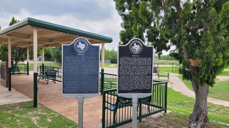
2. The Peñitas Marker is on the right side of the two markers
Also see . . . Penitas, TX. Texas State Historical Association (TSHA) (Submitted on May 26, 2023, by James Hulse of Medina, Texas.)
Photographed by James Hulse, April 22, 2023
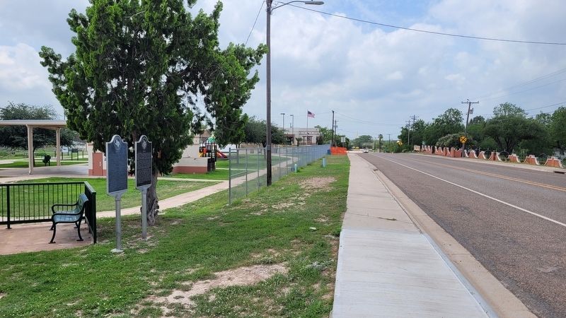
3. The view of the Peñitas Marker from the street
Credits. This page was last revised on May 27, 2023. It was originally submitted on May 26, 2023, by James Hulse of Medina, Texas. This page has been viewed 751 times since then and 63 times this year. Photos: 1, 2, 3. submitted on May 27, 2023, by James Hulse of Medina, Texas.
