North Charleston in Charleston County, South Carolina — The American South (South Atlantic)
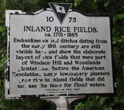
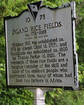
Inland Rice Fields
ca. 1701 - 1865
(side 1) Embankments and ditches dating from the early 18th century are still visible here and show the elaborate layout of rice fields that were part of Windsor Hill and Woodlands plantations. Before the American Revolution, lowcountry planters grew rice in inland fields that did not use the tides for flood waters.
Erected 2012 by Charleston County. (Marker Number 10-75.)
Topics. This historical marker is listed in these topic lists: African Americans • Agriculture • Colonial Era • Environment. A significant historical year for this entry is 1701.
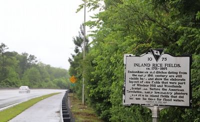
Location. 32° 56.577′ N, 80° 4.819′ W. Marker is in North Charleston, South Carolina, in Charleston County. Marker is on Palmetto Commerce Parkway, 0.3 miles north of Trade Center Court, on the right when traveling north. Touch for map . Marker is at or near this postal address: 7851 Palmetto Commerce Pkwy, North Charleston SC 29420, United States of America. Touch for directions.
Other nearby markers. At least 8 other markers are within 4 miles of this marker, measured as the crow flies. Windsor Hill Plantation (approx. 1.4 miles away); a different marker also named Windsor Hill Plantation (approx. 1.4 miles away); The Elms (approx. 2.6 miles away); Otranto Plantation (approx. 2.7 miles away); The Elms Plantation (approx. 3 miles away); Steepbrook Plantation (approx. 3.1 miles away); Archdale Hall (approx. 3.2 miles away); The Yamasee War At Goose Creek, 1715 (approx. 3˝ miles away). Touch for a list and map of all markers in North Charleston.
Credits. This page was last revised on June 6, 2023. It was originally submitted on May 28, 2023, by Dave W of Co, Colorado. This page has been viewed 104 times since then and 19 times this year. Photos: 1, 2, 3. submitted on May 28, 2023, by Dave W of Co, Colorado. • Bernard Fisher was the editor who published this page.


