
Virginia Water in Surrey, England, United Kingdom — Northwestern Europe (the British Isles)
Virginia Water

Photographed by Stephen Palmer, May 29, 2023
1. Virginia Water Marker
Virginia Water was the inspired creation of William Augustus, Duke of Cumberland, and Ranger of Windsor Great Park from 1746 until his death in 1765. In 1753 the Duke dammed the eastern end of Virginia Brook to create the largest man-made lake then in Britain. A disastrous flood in 1768 swept the first pond head away, but in the 1780s George III restored and enlarged the lake to incorporate Wick Stream. The lake and its surrounding landscape have been a favoured retreat for royalty for over two hundred years. At one time, a fleet of richly decorated boats adorned the water, including the Duke of Cumberland's mandarin yacht.
Topics. This historical marker is listed in these topic lists: Environment • Parks & Recreational Areas.
Location. 51° 24.609′ N, 0° 35.562′ W. Marker is in Virginia Water, England, in Surrey. It can be reached from London Road. The car park is located next to the Wheatsheaf pub. On entering Virginia Water from the car park the marker is in front of you. Touch for map. Marker is at or near this postal address: The Wheatsheaf London Road, Virginia
this page online

Regionally, this marker is in the Greater South East. Globally, it is on the Atlantic Ocean, in the North Atlantic Region, in Europe, in Atlantic Europe, on one of the British Isles, in the Western World, and in the Anglosphere. Historically, it finds itself in what was once the Roman Empire.
Other nearby markers. At least 8 other markers are within 6 kilometers of this marker, measured as the crow flies: The Trafalgar Way (approx. 3.6 kilometers away); Sealing of the Magna Carta at Runnymede (approx. 4.1 kilometers away); Egham War Memorial (approx. 4.2 kilometers away); Ankerwycke's Hidden History (approx. 4.4 kilometers away); Old Ascot Fire Station (approx. 5.5 kilometers away); Coal Duty Post (approx. 5.6 kilometers away); Lammas Recreational Park (approx. 5.7 kilometers away); The Hythe (approx. 5.8 kilometers away).
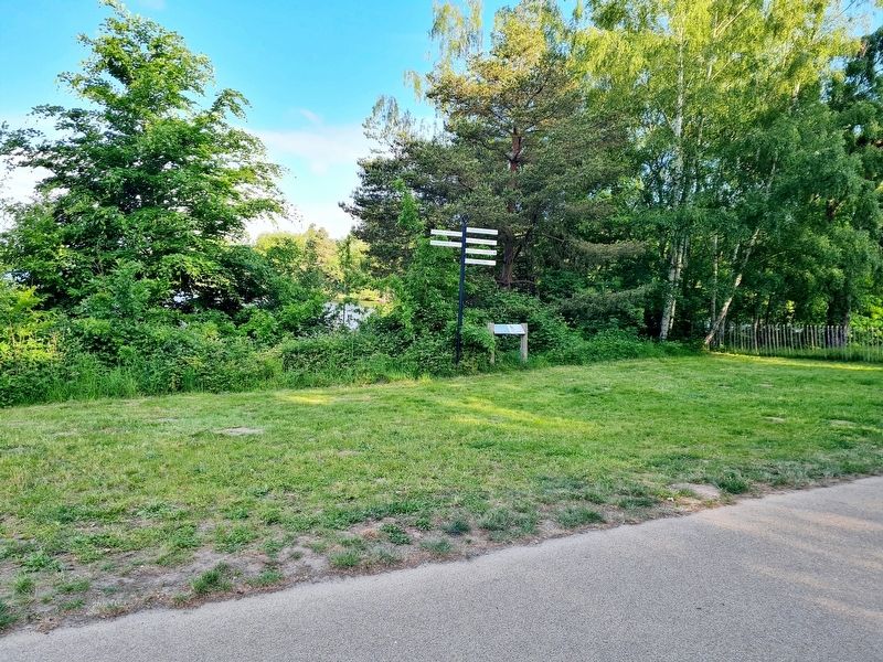
Photographed by Stephen Palmer, May 29, 2023
2. Virginia Water Marker
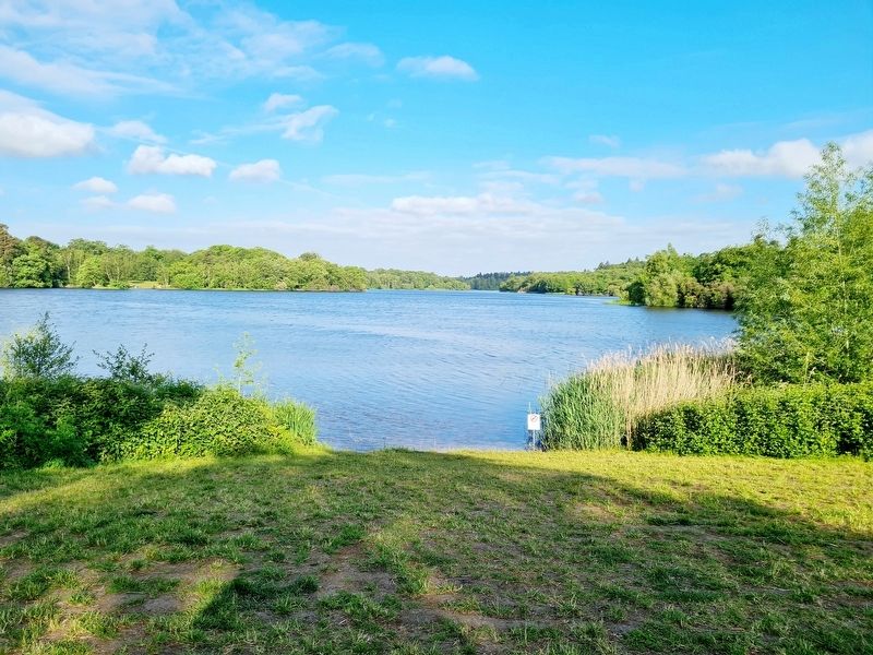
Photographed by Stephen Palmer, May 29, 2023
3. Virginia Water
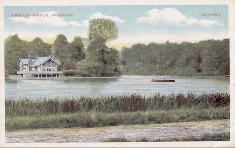
circa 1910
4. Virginia Water, Windsor
Credits. This page was last revised on May 29, 2023. It was originally submitted on May 29, 2023, by Stephen Palmer of Ascot, England. This page has been viewed 220 times since then and 33 times this year. Photos: 1, 2, 3. submitted on May 29, 2023, by Stephen Palmer of Ascot, England. 4. submitted on May 29, 2023. • Andrew Ruppenstein was the editor who published this page.
