
Near Vandalia in Montgomery County, Ohio — The American Midwest (Great Lakes)
The Village of Tadmor
⎯⎯⎯
The National Road
Photographed by Rev. Ronald Irick, September 13, 2016
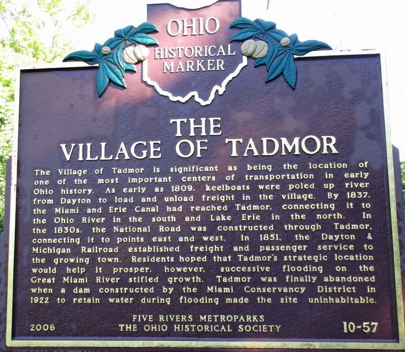
1. The Village of Tadmor Marker
The Village of Tadmor. The Village of Tadmor is significant as being the location of one of the most important centers of transportation in early Ohio history. As early as 1809, keelboats were poled up river from Dayton to load and unload freight in the village. By 1837, the Miami and Erie Canal had reached Tadmor, connecting it to the Ohio River in the south and Lake Erie in the north. In the 1830s, the National Road was constructed through Tadmor, connecting it to points east and west. In 1851, the Dayton & Michigan Railroad established freight and passenger service to the growing town. Residents hoped that Tadmor's strategic location would help it prosper, however, successive flooding on the Great Miami River stifled growth. Tadmor was finally abandoned when a dam constructed by the Miami Conservancy District in 1922 to retain water during flooding made the site uninhabitable.
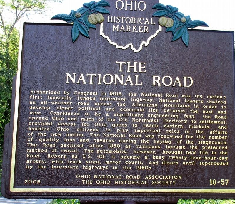
The National Road. Authorized by Congress in 1806, the National Road was the nation's first federally funded interstate highway. National leaders desired an all-weather road across the Allegheny Mountains in order to develop closer political
this page online
Erected 2006 by Five Rivers Metroparks, Ohio National Road Association and The Ohio Historical Society. (Marker Number 10-57.)
Topics and series. This historical marker is listed in these topic lists: Entertainment • Railroads & Streetcars • Roads & Vehicles • Settlements & Settlers • Waterways & Vessels. In addition, it is included in the Ohio Historical Society / The Ohio History Connection,
Photographed by Rev. Ronald Irick, September 13, 2016
2. The National Road Marker
Location. Marker has been reported missing. It was located near 39° 53.823′ N, 84° 9.913′ W. Marker was near Vandalia, Ohio, in Montgomery County. It could be reached from E National Rd (U.S. 40). Marker is on the Great Miami River Recreational Trail, Taylorsville Metro Park, about 1 1/3 miles north of the parking lot at the dam, it is NOT accessible by motor vehicle. Touch for map. Marker was at or near this postal address: 4697 E National Rd, Vandalia OH 45377, United States of America. Touch for directions.

Regionally, this marker was in Ohio’s Dayton Metro and in the Miami Valley. It was also in the American Midwest and in the Corn Belt. Globally, it was in North America, the Western Hemisphere, the Western World, and the Anglosphere. Historically, it found itself in what was once the Haudenosaunee (Iroquois) Confederacy, the territory of the Mississippian Culture, and the Northwest Territory.
Other nearby markers. At least 8 other markers are within 2 miles of this location, measured
Photographed by Rev. Ronald Irick, September 13, 2016
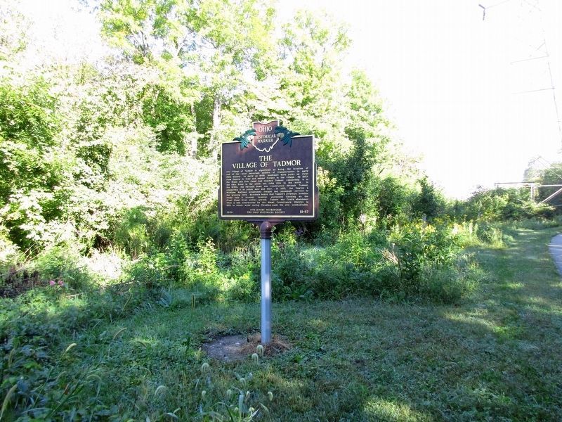
3. The Village of Tadmor Marker
Additional keywords. Old National Road Miami- Erie Canal
Photographed by Rev. Ronald Irick, September 13, 2016
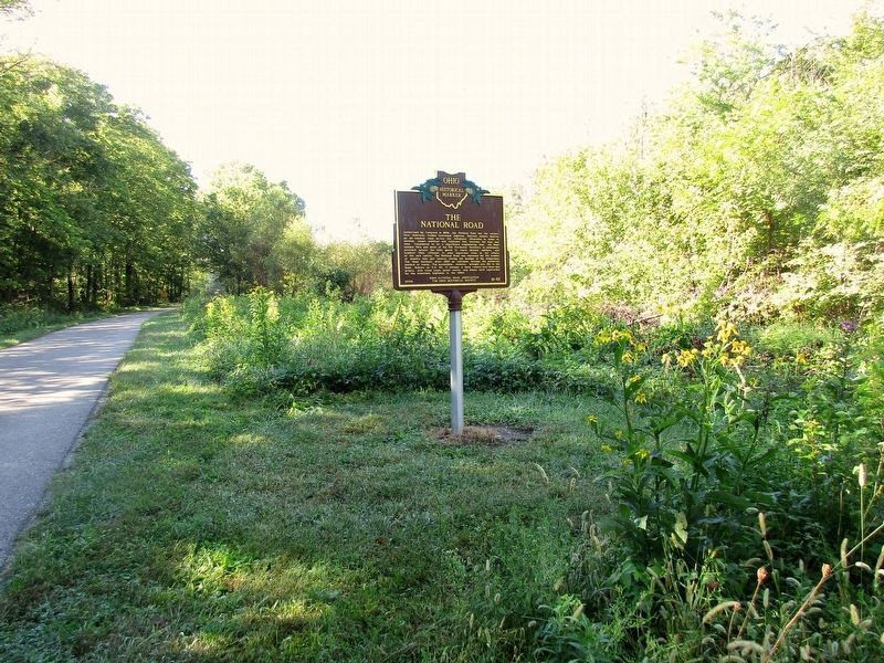
4. The Village of Tadmor Marker
The marker can be seen at a distance in this view looking south from the trail.
Photographed by Rev. Ronald Irick, September 13, 2016
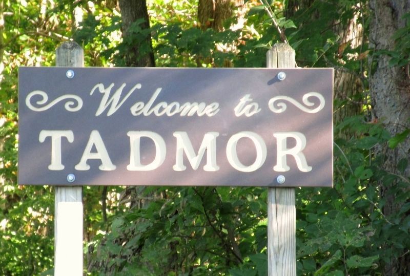
5. The Village of Tadmor Sign
Photographed by Rev. Ronald Irick, September 13, 2016
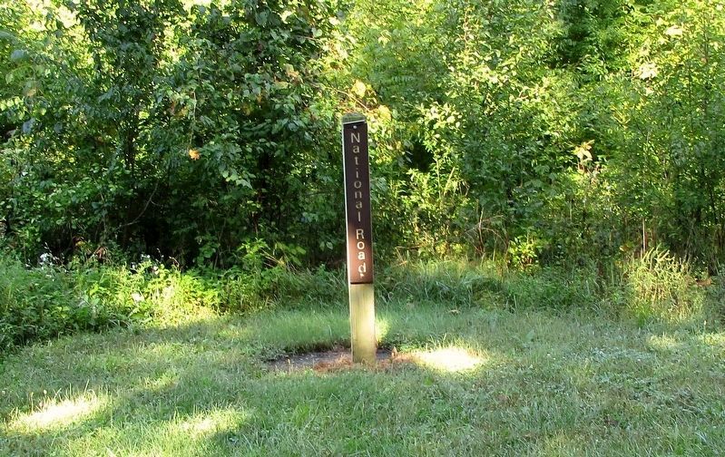
6. Marker post denoting where the National Road crossed the Miami- Erie Canal

Photographed by Craig Doda, October 27, 2024
7. The Village of Tadmor / The National Road Marker
The marker is currently missing.
Credits. This page was last revised on July 17, 2025. It was originally submitted on September 14, 2016, by Rev. Ronald Irick of West Liberty, Ohio. This page has been viewed 5,020 times since then and 294 times this year. Last updated on June 2, 2023, by Grant & Mary Ann Fish of Galloway, Ohio. Photos: 1, 2, 3, 4, 5, 6. submitted on September 14, 2016, by Rev. Ronald Irick of West Liberty, Ohio. 7. submitted on November 1, 2024, by Craig Doda of Napoleon, Ohio. • J. Makali Bruton was the editor who published this page.
