Near Key West in Monroe County, Florida — The American South (South Atlantic)
The Moat
Fort Jefferson
| — | Dry Tortugas National Park | — |
Photographed by Brandon D Cross, May 4, 2023
1. The Moat Marker
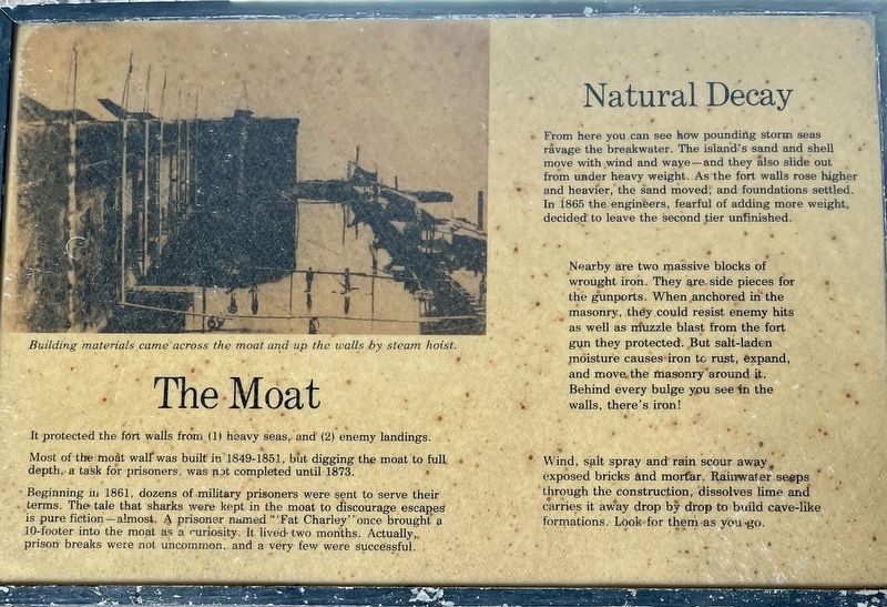
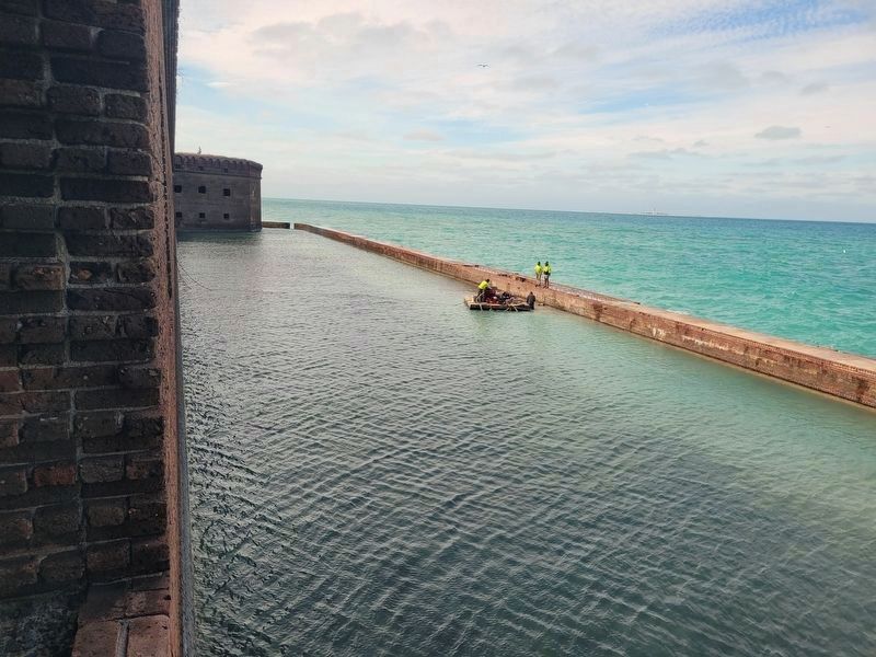
It protected the fort walls from (1) heavy seas, and (2) enemy landings.
Most of the moat wall was built in 1849-1851, but digging the moat to full depth, a task for prisoners, was not completed until 1873.
Beginning in 1861, dozens of military prisoners were sent to serve their terms. The tale that sharks were kept in the moat to discourage escapes is pure fiction—almost. A prisoner named "Fat Charley” once brought a 10-footer into the moat as a curiosity. It lived two months. Actually, prison breaks were not uncommon, and a very few were successful.
Natural Decay
From here you can see how pounding storm seas ravage the breakwater. The island's sand and shell move with wind and wave—and they also slide out from under heavy weight. As the fort walls rose higher and heavier, the sand moved, and foundations settled. In 1865 the engineers, fearful of adding more weight, decided to leave the second tier unfinished.
Nearby are two massive blocks of wrought iron. They are side pieces for the gunports. When anchored in the masonry, they could resist enemy hits as well as muzzle blast from the fort gun they protected.
this page online
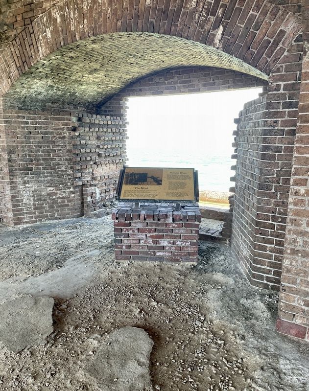
Wind, salt spray and rain scour away, exposed bricks and mortar. Rainwater seeps through the construction, dissolves lime and carries it away drop by drop to build cave-like formations. Look for them as you go.
Erected by National Park Service, U.S. Department of the Interior.
Topics. This historical marker is listed in these topic lists: Environment • Forts and Castles • Parks & Recreational Areas • War, US Civil. A significant historical year for this entry is 1861.
Location. 24° 37.769′ N, 82° 52.411′ W. Marker is near Key West, Florida, in Monroe County. It can be reached from no nearby street. This marker is located within Fort Jefferson, Dry Tortugas National Park. Touch for map. Marker is at or near this postal address: Fort Jefferson - Key West, Key West FL 33040, United States of America. Touch for directions.

Regionally, this marker is on the Florida Keys. It is also in the American South and on the Gulf Coast. Globally, it is in the North Atlantic Region,
Photographed by Brandon D Cross, May 4, 2023
2. The Moat Marker
Other nearby markers. At least 8 other markers are within walking distance of this marker: An Island of Civility (a few steps from this marker); Red-Hot Cannonballs (within shouting distance of this marker); Parade Ground Panorama (within shouting distance of this marker); 15-Inch Rodman (about 300 feet away, measured in a direct line); Keeping Powder Dry and Safe (about 300 feet away); Bread, Bugs, and Beef (about 300 feet away); The Hospital (about 300 feet away); In Memory of Brevet Major, Jos. Sim Smith (about 400 feet away). Touch for a list and map of all markers in Key West.
Also see . . .
1. Moat around Ft Jefferson in Dry Tortugas. (Submitted on June 3, 2023, by Brandon D Cross of Flagler Beach, Florida.)
2. Dry Tortugas National Park. (Submitted on June 3, 2023, by Brandon D Cross of Flagler Beach, Florida.)
Photographed by James Hulse, January 12, 2026
3. The Moat Marker
The view of the moat from the gun port and marker.
Credits. This page was last revised on February 8, 2026. It was originally submitted on June 3, 2023, by Brandon D Cross of Flagler Beach, Florida. This page has been viewed 417 times since then and 52 times this year. Photos: 1, 2. submitted on June 3, 2023, by Brandon D Cross of Flagler Beach, Florida. 3. submitted on February 8, 2026, by James Hulse of Medina, Texas. • Bernard Fisher was the editor who published this page.
