Quarry Township in Grafton in Jersey County, Illinois — The American Midwest (Great Lakes)
McAdams Peak

Photographed by Jason Voigt, May 31, 2023
1. McAdams Peak Marker
Altitude 791 feet above sea level
372 feet above Illinois River
The Illini Indians once inhabited these ills and the river valley. In 1892, one hundred Indian skeletons were removed from this vicinity by Prof. William McAdams for the Smithsonian Institution. He also obtained artifacts which are now ~1934~ exhibited at the Centennial Building, Springfield, and at the Monticello Seminary, Godfrey. Forty years later ~1932~ his son, John D. McAdams of Alton, was instrumental in acquiring this property for a state park.
Erected 1934 by the State of Illinois.
Topics. This historical marker is listed in these topic lists: Indigenous Peoples and Communities • Parks & Recreational Areas. A significant historical year for this entry is 1892.
Location. 38° 58.727′ N, 90° 32.569′ W. Marker is in Grafton, Illinois, in Jersey County. It is in Quarry Township. It can be reached from Scenic Drive east of Illinois Route 100. Marker is located off a hiking path at Pere Marquette State Park. Touch for map. Marker is at or near this postal address: 13766 IL-100, Grafton IL 62037, United States of America. Touch for directions.

Regionally,
this page online
Other nearby markers. At least 8 other markers are within 4 miles of this marker, measured as the crow flies: The CCC (within shouting distance of this marker); Elijah Lovejoy (approx. 0.4 miles away); The Piasa Bird (approx. 0.4 miles away); Illiniwek (approx. half a mile away); Pere Jacques Marquette (approx. half a mile away); a different marker also named The CCC (approx. half a mile away); Brussels Ferry (approx. 2.7 miles away); Wittmond Hotel (approx. 3.2 miles away). Touch for a list and map of all markers in Grafton.
Photographed by Jason Voigt, May 31, 2023
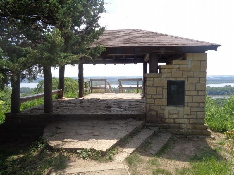
2. McAdams Peak Marker
Marker is mounted on the shelter, which is located off a hiking path at Pere Marquette State Park.
Photographed by Jason Voigt, May 31, 2023
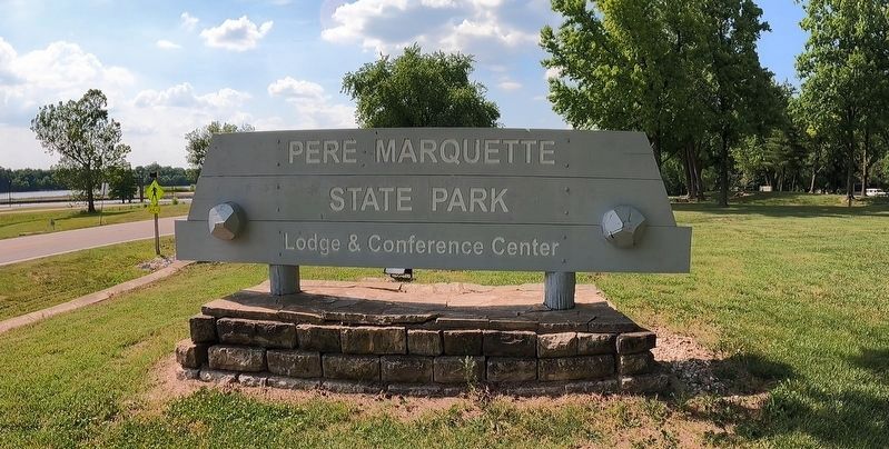
3. Pere Marquette State Park
Illinois Department of Natural Resources:
Marker is located off one of the many hiking paths at Pere Marquette State Park
Click for more information.
Marker is located off one of the many hiking paths at Pere Marquette State Park
Click for more information.
Credits. This page was last revised on November 25, 2025. It was originally submitted on June 3, 2023, by Jason Voigt of Glen Carbon, Illinois. This page has been viewed 601 times since then and 70 times this year. Photos: 1, 2, 3. submitted on June 3, 2023, by Jason Voigt of Glen Carbon, Illinois.
