Key West in Monroe County, Florida — The American South (South Atlantic)
Coal Refueling Station
Fort Jefferson
| — | Dry Tortugas National Park | — |
Photographed by Brandon D Cross, May 4, 2023
1. Coal Refueling Station Marker
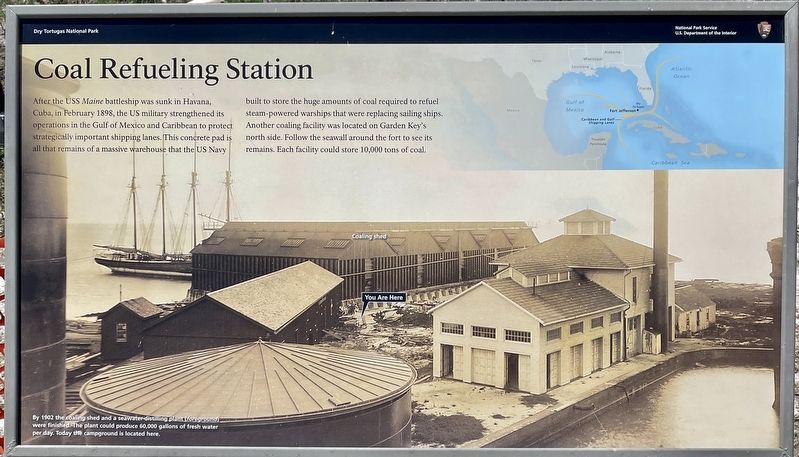
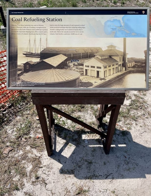
After the USS Maine battleship was sunk in Havana, Cuba, in February 1898, the US military strengthened its operations in the Gulf of Mexico and Caribbean to protect strategically important shipping lanes. This concrete pad is all that remains of a massive warehouse that the US Navy built to store the huge amounts of coal required to refuel steam-powered warships that were replacing sailing ships. Another coaling facility was located on Garden Key's north side. Follow the seawall around the fort to see its remains. Each facility could store 10,000 tons of coal.
(caption)
By 1902 the coaling shed and a seawater-distilling plant (foreground) were finished. The plant could produce 60,000 gallons of fresh water per day. Today the campground is located here.
Erected by National Park Service, U.S. Department of the Interior.
Topics. This historical marker is listed in these topic lists: Forts and Castles • Parks & Recreational Areas • War, Spanish-American • Waterways & Vessels. A significant historical month for this entry is February 1898.
Location. 24° 37.615′ N, 82° 52.393′ W. Marker is in Key West, Florida,
this page online

Regionally, this marker is on the Florida Keys. It is also in the American South and on the Gulf Coast. Globally, it is in the North Atlantic Region, North America, a Gulf of Mexico state, the Western Hemisphere, the Western World, and the Anglosphere. Historically, it finds itself in what was once New Spain, the territory of the Mississippian Culture, one of the Confederate States of America, and the Antebellum South.
Other nearby markers. At least 8 other markers are within walking distance of this marker: The "Dungeon" (within shouting distance of this marker); Guardian of the Gulf (within shouting distance of this marker); In Memory of Dr. Samuel A. Mudd (about 300 feet away, measured in a direct line); Navy Days at Fort Jefferson (about 300 feet away); How Do You Live Out Here? (about 300 feet away); Gateway to the Gulf (about 400 feet away); Gunrooms (about
Photographed by Brandon D Cross, May 4, 2023
2. Coal Refueling Station Marker
Also see . . . Dry Tortugas National Park. (Submitted on June 3, 2023, by Brandon D Cross of Flagler Beach, Florida.)
Credits. This page was last revised on June 7, 2023. It was originally submitted on June 3, 2023, by Brandon D Cross of Flagler Beach, Florida. This page has been viewed 428 times since then and 80 times this year. Photos: 1, 2. submitted on June 3, 2023, by Brandon D Cross of Flagler Beach, Florida. • Bernard Fisher was the editor who published this page.
