Shiloh in Hardin County, Tennessee — The American South (East South Central)
Shiloh Indian Mounds
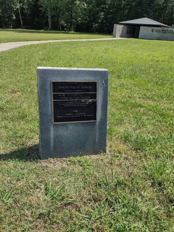
Photographed by David Austin
1. Shiloh Indian Mounds Marker
has been designated a
National
Historic Landmark
This site possesses national significance in commemorating the history of the United States of America.
National Park Service
United States Department of the Interior
Topics and series. This historical marker is listed in these topic lists: Anthropology & Archaeology • Indigenous Peoples and Communities. In addition, it is included in the National Historic Landmarks series list.
Location. 35° 8.478′ N, 88° 19.638′ W. Marker is in Shiloh, Tennessee, in Hardin County. It is on Riverside Drive 0.2 miles east of Henry Savannah Road, on the left when traveling east. The marker stands just off the sidewalk in front of the Shiloh Indian Mounds Interpretive Center. Touch for map. Marker is at or near this postal address: 275 Browns Landing Rd, Shiloh TN 38376, United States of America. Touch for directions.

Regionally, this marker is in West Tennessee. It is also in the American South and specifically in the Upper South. Globally, it is in North America, the Western Hemisphere,
this page online
Other nearby markers. At least 8 other markers are within walking distance of this marker: Mississippian Indians (within shouting distance of this marker); Sifting the Evidence (within shouting distance of this marker); Chickasaw Homeland (within shouting distance of this marker); Camp of 17th Kentucky Infantry (within shouting distance of this marker); A Temporary Wall (about 300 feet away, measured in a direct line); Crossing the Palisade (about 300 feet away); Kentucky Regiments at Battle of Shiloh (about 400 feet away); Signs of Dwellings (about 700 feet away). Touch for a list and map of all markers in Shiloh.

Photographed by David Austin, June 1, 2023
2. Shiloh Indian Mounds Marker
Credits. This page was last revised on June 4, 2023. It was originally submitted on June 1, 2023, by David Austin of Scotts Hill, Tennessee. This page has been viewed 268 times since then and 17 times this year. Last updated on June 3, 2023, by David Austin of Scotts Hill, Tennessee. Photos: 1, 2. submitted on June 1, 2023, by David Austin of Scotts Hill, Tennessee. • J. Makali Bruton was the editor who published this page.
