Clarksville in Montgomery County, Tennessee — The American South (East South Central)
Native American use of the cave entrance
Inscription.
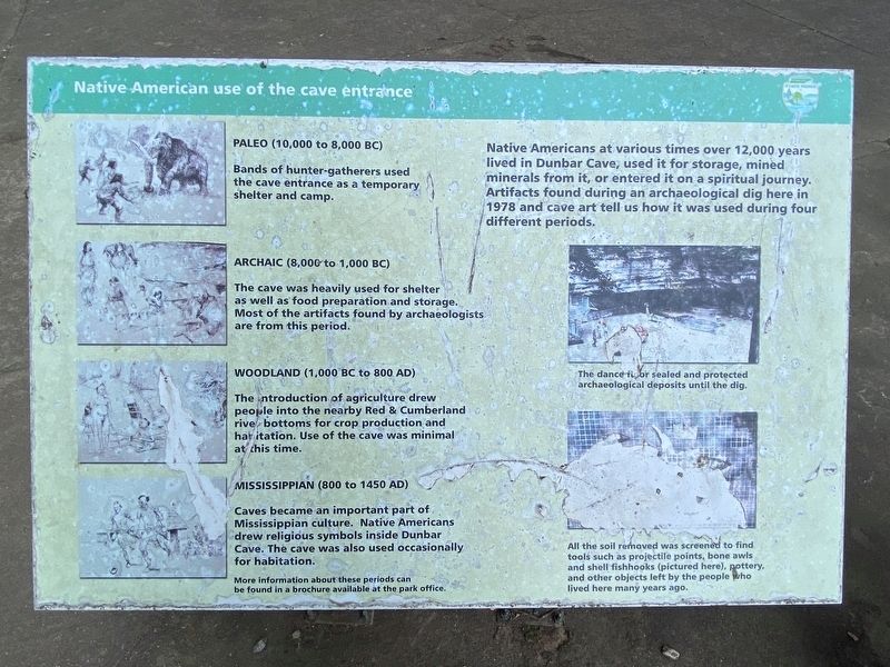
Native Americans at various times over 12,000 years lived in Dunbar Cave, used it for storage, mined minerals from it, or entered it on a spiritual journey. Artifacts found during an archaeological dig here in 1978 and cave art tell us how it was used during four different periods.
Paleo (10,000 to 8,000 BC)
Bands of hunter-gatherers used the cave entrance as a temporary shelter and camp.
Archaic (8,000 to 1,000 BC)
The cave was heavily used for shelter as well as food preparation and storage. Most of the artifacts found by archaeologists are from this period.
Woodland (1,000 BC to 800 AD)
The introduction of agriculture drew people into the nearby Red & Cumberland, river bottoms for crop production and habitation. Use of the cave was minimal at this time.
Mississippian (800 to 1450 AD)
Caves became an important part of Mississippian culture. Native Americans drew religious symbols inside Dunbar Cave. The cave was also used occasionally for habitation.
Captions
Top Right: The dance floor sealed and protected archaeological deposits until the dig.
Lower Right: All the soil removed was screened to find tools such as projectile points, bone awls and shell fishhooks (pictured here), pottery, and other objects left by the people who lived here many years ago.
Erected by Tennessee State Parks.
Topics. This historical marker is listed in these topic lists: Anthropology & Archaeology • Native Americans • Parks & Recreational Areas.
Location. 36° 33.168′ N, 87° 18.367′ W. Marker is in Clarksville, Tennessee, in Montgomery County. Marker can be reached from the intersection of Old Dunbar Cave Road and Dunbar Cave Road. Touch for map. Marker is at or near this postal address: 322 Old Dunbar Cave Rd, Clarksville TN 37043, United States of America. Touch for directions.
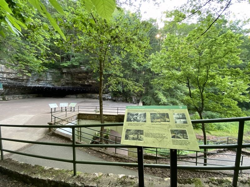
Other nearby markers. At least 8 other markers are within walking distance of this marker. Dunbar Cave: The Resort Years (here, next to this marker); Dunbar Cave: a place of abundant life (here, next to this marker); Dunbar Cave Through the Years (a few steps from this marker); Dunbar Cave's Swan Lake (a few steps from this marker); The Dance Floor (a few steps from this marker); Wetland (about 400 feet away, measured in a direct line); Roy Acuff (about 700 feet away); 1933 Swimming Pool & Bathhouse (about 800 feet away). Touch for a list and map of all markers in Clarksville.
Credits. This page was last revised on June 9, 2023. It was originally submitted on June 6, 2023, by Darren Jefferson Clay of Duluth, Georgia. This page has been viewed 51 times since then and 11 times this year. Photos: 1, 2. submitted on June 7, 2023, by Darren Jefferson Clay of Duluth, Georgia. • James Hulse was the editor who published this page.

