Cabo Rojo in Municipio de Cabo Rojo, Puerto Rico — The Caribbean (The West Indies)
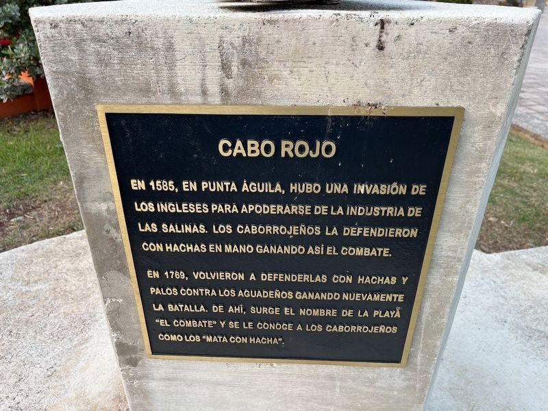
Cabo Rojo
En 1585, en Punta Águila, hubo una invasión de los Ingleses para apoderarse de la industria de las salinas. Los Caborrojeños le defendieron con hachas en mano ganando así el combate.
En 1769, volvieron a defenderlas con hachas y palos contra los aguadeños ganando nuevamente la batalla. De ahí, surge el nombre de la playa "el combate" y se le conoce a los Caborrojeños como los "mata con hacha".
In 1585, in Punta Águila, there was an invasion by the English to seize the salt flats. The Caborrojeños defended the flats with axes in hand, thus winning the fight.
In 1769, they returned to defend the flats against the Aguadeños with axes and sticks, winning the battle again. From there, the name of the beach "El Combat" arises and the Caborrojeños are known as "Kill with an Axe."
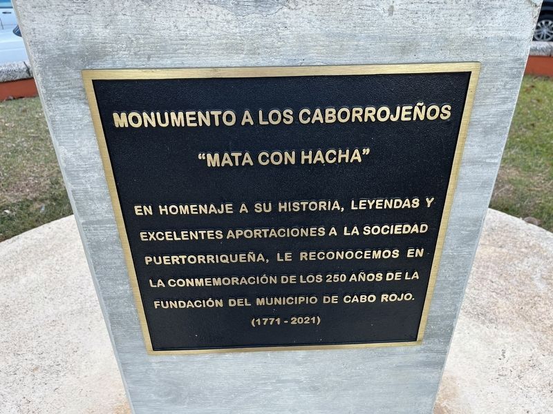
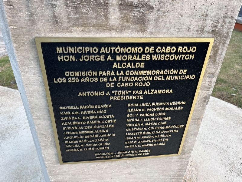
Erected 2021 by Municipio de Cabo Rojo.
Topics. This historical marker is listed in these topic lists: Colonial Era • Native Americans • Natural Resources • Wars, Non-US. A significant historical year for this entry is 1585.
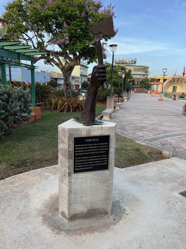
Location. 18° 5.238′ N, 67° 8.79′ W. Marker is in Cabo Rojo in Municipio de Cabo Rojo, Puerto Rico. Marker is at the intersection of Calle Rios Rivera and Calle Barbosa, on the right when traveling east on Calle Rios Rivera. Touch for map. Marker is at or near this postal address: Calle Rios Rivera 24, Cabo Rojo PR 00623, United States of America. Touch for directions.
Other nearby markers. At least 8 other markers are within walking distance of this marker. Dr. Ramon Emeterio Betances (within shouting distance of this marker); Monumento a la Guerra de España Contra el Fascismo (within shouting distance of this marker); Árbol de la Libertad (within shouting distance of this marker); Don Salvador Brau y Ascenio (within shouting distance of this marker); Don Salvador Brau Asencio (within shouting distance of this marker); Plaza de la Paz (about 700 feet away, measured in a direct line); En Memoria de Todos los Veteranos de la Guerra de Korea (approx. 1.2 kilometers away); En Memoria de Todos los Veteranos de la II Guerra Mundial (approx. 1.2 kilometers away). Touch for a list and map of all markers in Cabo Rojo.
Credits. This page was last revised on April 6, 2024. It was originally submitted on June 12, 2023, by Devry Becker Jones of Washington, District of Columbia. This page has been viewed 125 times since then and 55 times this year. Photos: 1, 2, 3, 4. submitted on June 12, 2023, by Devry Becker Jones of Washington, District of Columbia.


