Fort Wayne in Allen County, Indiana — The American Midwest (Great Lakes)
The Little River Valley Story
Photographed by Tom Bosse, June 2, 2023
1. The Little River Valley Story Marker
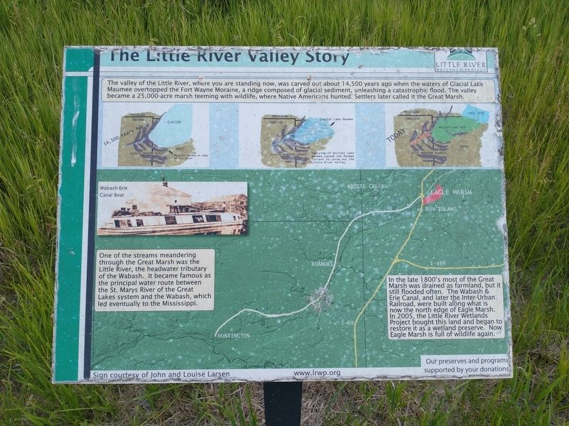
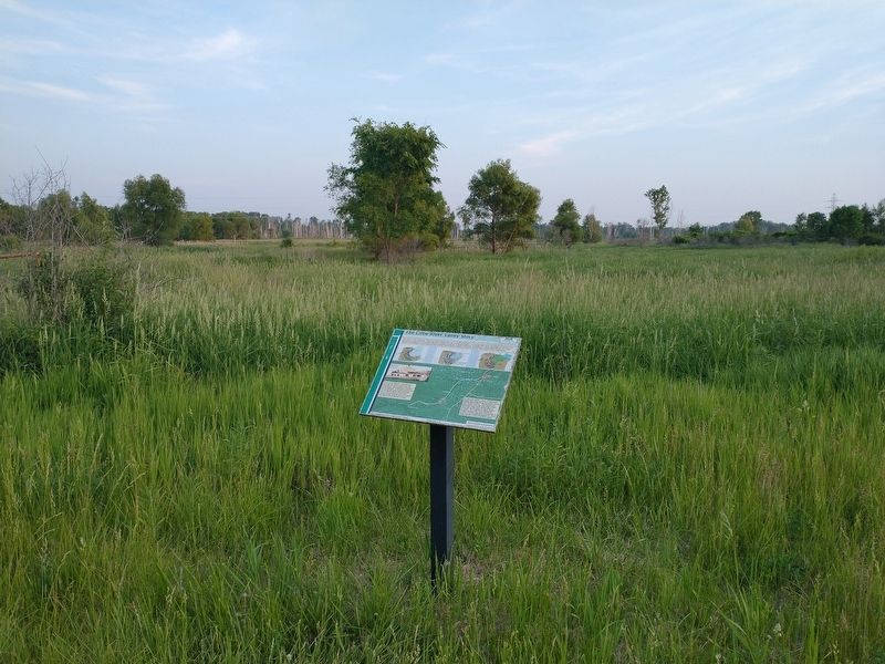
The valley of the Little River, where you are standing now, was carved out about 14,500 years ago when the waters of Glacial Lake Maumee overtopped the Fort Wayne Moraine, a ridge composed of glacial sediment, unleashing a catastrophic flood. The valley became a 25,000-acre marsh teeming with wildlife, where Native Americans hunted. Settlers later called in the Great Marsh.
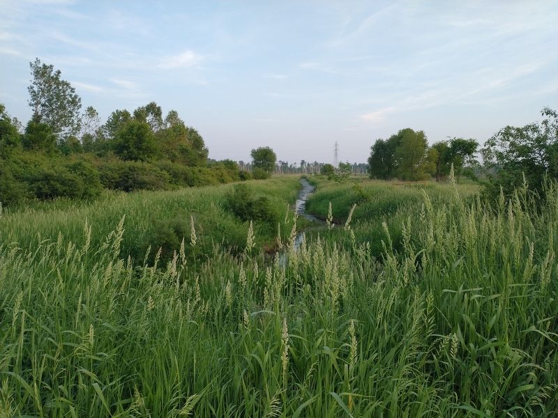
One of the streams meandering through the Great Marsh was the Little River, the headwater tributary of the Wabash. It became famous as the principal water route between the St. Marys River of the Great Lakes system and the Wabash, which led eventually to the Mississippi.
In the late 1800s most of the Great Marsh was drained as farmland, but it still flooded often. The Wabash & Erie Canal, and later the Inter-Urban Railroad, were built along what is now the north edge of Eagle Marsh. In 2005, The Little River Wetlands Project bought this land and began to restore it as a wetland preserve. Now Eagle Marsh is full of wildlife again.
Erected by Little River Wetlands Project.
Topics. This historical marker is listed in these topic lists:
this page online
Location. 41° 2.001′ N, 85° 14.648′ W. Marker is in Fort Wayne, Indiana, in Allen County. It is on Trail 1 0.3 miles west of Towpath / Eagle Marsh Trail, on the left when traveling west. Marker located within the Eagle Marsh Nature Preserve. Touch for map. Marker is in this post office area: Fort Wayne IN 46804, United States of America. Touch for directions.

Regionally, this marker is in Northern Indiana. It is also in the American Midwest and in the Corn Belt. Globally, it is in North America, the Western Hemisphere, the Western World, and the Anglosphere. Historically, it finds itself in what was once the Viceroyalty of New France, the territory of the Mississippian Culture, and the Northwest Territory.
Other nearby markers. At least 8 other markers are within 5 miles of this marker, measured as the crow flies: Lost Birds of Canal Days (approx. 0.2 miles away); The Towpath Trail History (approx. ¼ mile away); Forty et Eight (approx. 4.2 miles away); Allen County Revolutionary War Memorial (approx. 4.2 miles
Photographed by Tom Bosse, June 2, 2023
2. The Little River Valley Story Marker
Photographed by Tom Bosse, June 2, 2023
3. The Little River
Credits. This page was last revised on June 21, 2023. It was originally submitted on June 13, 2023, by Tom Bosse of Jefferson City, Tennessee. This page has been viewed 629 times since then and 129 times this year. Photos: 1, 2, 3. submitted on June 13, 2023, by Tom Bosse of Jefferson City, Tennessee. • Devry Becker Jones was the editor who published this page.
