San Germán in Municipio de San Germán, Puerto Rico — The Caribbean (The West Indies)
Siglo XVIII
[18th Century]
| — | [Galeria Historica Sangermeña [Gallery of Sangermeña History]] | — |
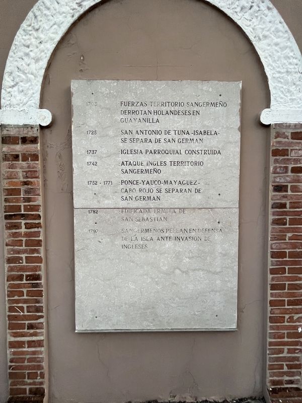

1703: Fuerzas territorio sangermeño dorrotan holandeses en Guayanilla.
1725: San Antonio de Tuna -Isabela- se separa de San Germán.
1737: Iglesia parroquial construida.
1742: Ataque ingles territorio sangermeño.
1752-1771: Ponce-Yauco-Mayagüez-Cabo Robo se separan de San Germán.
1782: Edificada ermita de San Sebastian.
1797: Sangermeños pelean en defensa de la isla ante invasion de Ingleses.
1703: Forces from the San Germán territory defeat the Dutch in Guayanilla.
1725: San Antonio de Tuna -Isabela- separates from San Germán.
1737: Church built.
1742: English attack the territory of San Germán.
1752-1771: Ponce-Yauco-Mayagüez-Cabo Robo separate from San Germán.
1782: Built hermitage of San Sebastian.
1797: Sangermeños fight to defend the island against the English invasion.
Erected 1985 by Municipio de San Germán.
Topics. This historical marker is listed in these topic lists: Colonial Era • Political Subdivisions • Religion & Religious Structures • Wars, Non-US. A significant historical year for this entry is 1703.
Location. 18° 4.926′ N, 67° 2.42′ W.
this page online

Regionally, this marker is on the Southern Coastal Zone. Globally, it is one of the Greater Antilles on the Caribbean Sea, on in the Atlantic Ocean, in North America, in the Western Hemisphere, in the Western World, and in the Anglosphere. Historically, it finds itself in what was once a Spanish colony.
Other nearby markers. At least 8 other markers are within 10 kilometers of this location, measured as the crow flies: Siglo XIX (here, next to this marker); Siglo XVI (here, next to this marker); Siglo XX (a few steps from this marker); Sangermeños Miembros Gabinete Autonomico (a few steps from this marker); Ubaldino Ramirez de Arellano (within shouting distance of this marker); Año 2004 (approx. 0.4 kilometers away); In Memoriam Vto Centenario de la Evangelizacion de Puerto Rico
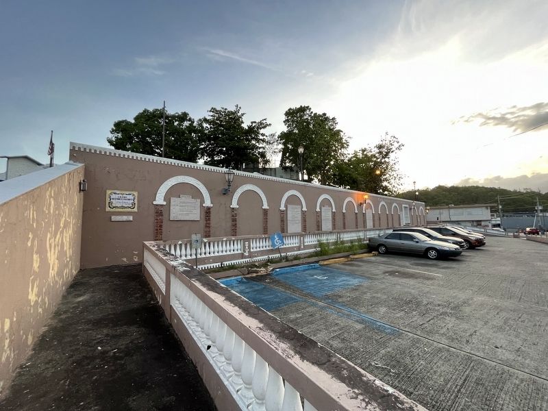
More about this marker. Unfortunately, the marker has weathered significantly.
Credits. This page was last revised on June 13, 2023. It was originally submitted on June 13, 2023, by Devry Becker Jones of Washington, District of Columbia. This page has been viewed 164 times since then and 33 times this year. Photos: 1, 2. submitted on June 13, 2023, by Devry Becker Jones of Washington, District of Columbia.
