
Breckenridge in Stephens County, Texas — The American South (West South Central)
Picketville
(0.5 mi. E)
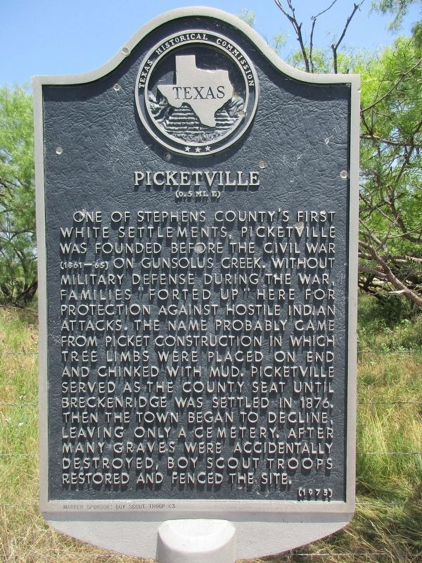
Photographed by Jeff Leichsenring, June 11, 2023
1. Picketville Marker
Erected 1975 by Texas Historical Commission. (Marker Number 4012.)
Topics. This historical marker is listed in these topic lists: Indigenous Peoples and Communities • Settlements & Settlers • Wars, US Indian. A significant historical year for this entry is 1876.
Location. 32° 46.542′ N, 98° 54.153′ W. Marker is in Breckenridge, Texas, in Stephens County. It is on North Brackenridge Avenue (U.S. 183) 0.6 miles north of County Road 257, on the right when traveling north. Touch for map. Marker is in this post office area: Breckenridge TX 76424,
this page online

Regionally, this marker is in Big Country. Globally, it is in North America, a Gulf of Mexico state, the Western Hemisphere, the Western World, and the Anglosphere. Historically, it finds itself in what was once New Spain, the Comanchería, the Republic of Texas, and one of the Confederate States of America.
Other nearby markers. At least 8 other markers are within 2 miles of this marker, measured as the crow flies: Breckenridge Stephens Walker (approx. 1.4 miles away); Stephens County Courthouse (approx. 1.4 miles away); Old First National Bank Building (approx. 1.4 miles away); a different marker also named Stephens County Courthouse (approx. 1.4 miles away); Walter Prescott Webb's Formative Years (approx. 1.4 miles away); Camp Breckenridge (approx. 1.4 miles away); First Baptist Church of Breckenridge (approx. 1.6 miles away); Breckenridge Cemetery (approx. 2 miles away). Touch for a list and map of all markers in Breckenridge.
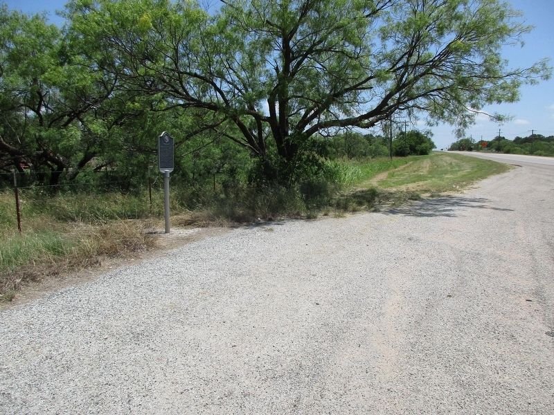
Photographed by Jeff Leichsenring, June 11, 2023
2. Picketville Marker
Credits. This page was last revised on December 3, 2024. It was originally submitted on June 14, 2023, by Jeff Leichsenring of Garland, Texas. This page has been viewed 774 times since then and 79 times this year. Photos: 1, 2. submitted on June 14, 2023, by Jeff Leichsenring of Garland, Texas. • James Hulse was the editor who published this page.
