Key West in Monroe County, Florida — The American South (South Atlantic)
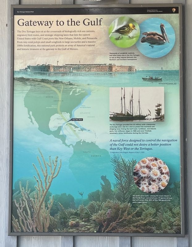
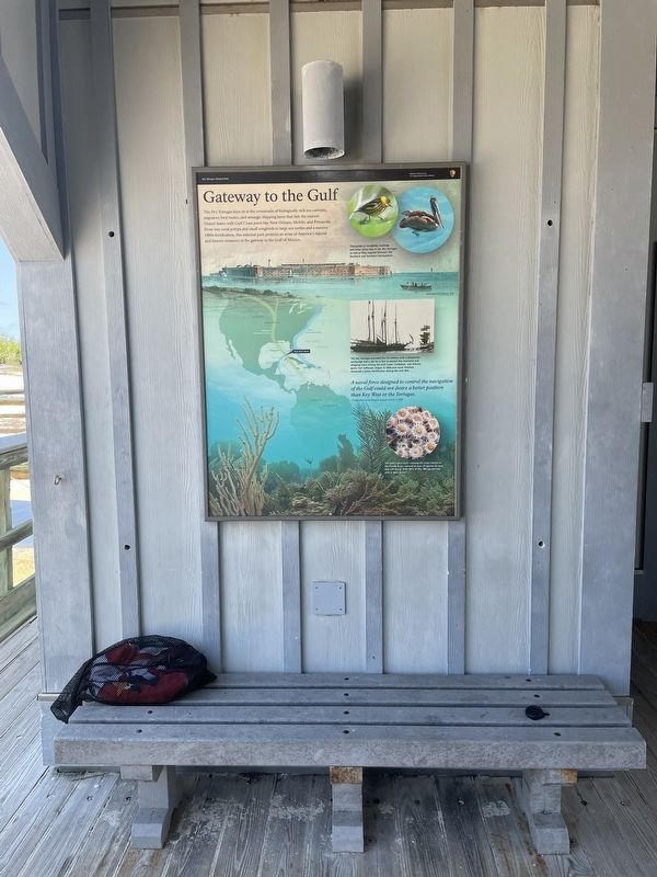
Gateway to the Gulf
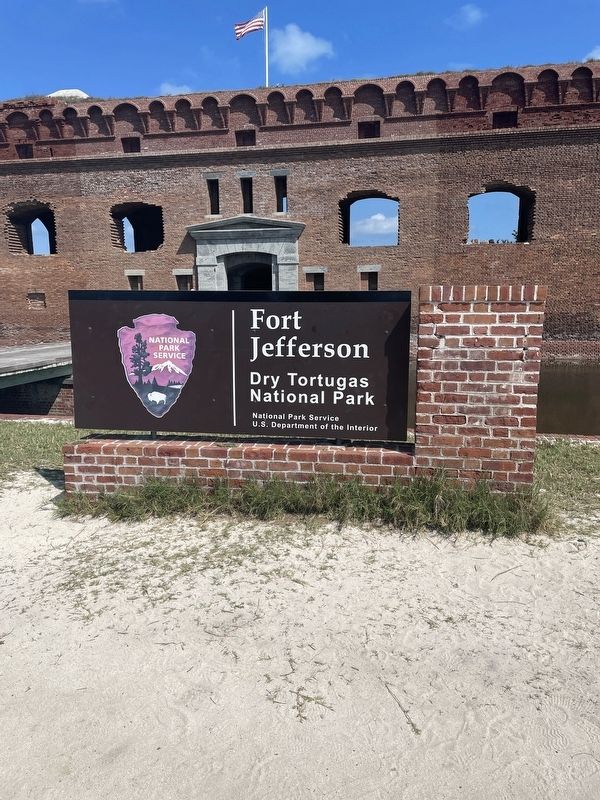
Fort Jefferson
— Dry Tortugas National Park —
A naval force designed to control the navigation of the Gulf could not desire a better position than Key West or the Tortugas.
Commodore John Roger, Report of July 3, 1829
(captions)
Thousands of songbirds, seabirds, stop in the Dry Tortugas to rest as they migrate between the Northern and Southern hemispheres.
The Dry Tortugas provided the US military with a deepwater anchorage and a site for a fort to protect the mainland and shipping lanes linking the Gulf Coast, Caribbean, and Atlantic ports. Fort Jefferson, begun in 1846 and never finished, remained a Union fortification during the Civil War.
The park’s reefs—among the most vibrant in the Florida Keys—consist of over 75 species of hard and soft corals. Over 98% of this 100-square mile park is open ocean.
Erected by National Park Service, U.S. Department of the Interior.
Topics. This historical marker is listed in these topic lists: Environment • Forts and Castles • Parks & Recreational Areas • Waterways & Vessels. A significant historical year for this entry is 1846.
Location. 24° 37.72′ N, 82° 52.393′ W. Marker is in Key West, Florida, in Monroe County. This marker is located within Fort Jefferson, Dry Tortugas National Park. Touch for map. Marker is in this post office area: Key West FL 33040, United States of America. Touch for directions.
Other nearby markers. At least 8 other markers are within walking distance of this marker. An Island of Civility (within shouting distance of this marker); Intricate Gun Rooms (about 300 feet away, measured in a direct line); Building a City on the Sea (about 300 feet away); The Hospital (about 300 feet away); Soldiers' Barracks (about 300 feet away); Traverse Magazine (about 300 feet away); Water in "Dry" Tortugas (about 300 feet away); Gunrooms (about 300 feet away). Touch for a list and map of all markers in Key West.
Also see . . . Dry Tortugas National Park. (Submitted on June 17, 2023, by Brandon D Cross of Flagler Beach, Florida.)
Credits. This page was last revised on June 21, 2023. It was originally submitted on June 17, 2023, by Brandon D Cross of Flagler Beach, Florida. This page has been viewed 72 times since then and 15 times this year. Photos: 1, 2, 3. submitted on June 17, 2023, by Brandon D Cross of Flagler Beach, Florida. • Bernard Fisher was the editor who published this page.


