Rubicon Township in Port Hope in Huron County, Michigan — The American Midwest (Great Lakes)
The US Life-Saving Service

Photographed by J.T. Lambrou, June 12, 2023
1. The US Life-Saving Service Marker
In 1872, Congress appropriated the funds necessary to construct a US Life-Saving Station (LSS) at Pointe aux Barques, Michigan. The building in front of you is a "Type 1875" USLSS boathouse that was constructed in 1876. As originally constructed, the first floor of the boathouse contained the life-saving equipment (including the surfboat) and the second floor dormitory housed the crew. Just behind the boathouse is the "Captain's Quarters" in which the Station Captain and his family lived; it was connected to the boathouse by a "breezeway" in which the Captain and crew had their meals.
The non-profit Pointe aux Barques Lighthouse Society (PABLS) is beginning efforts, together with the Huron County Road Commission, to restore the LSS to join the existing Lighthouse and Lighthouse Keeper's House as a first class maritime history museum. PABLS will be undertaking a variety of fundraising activities to raise the money necessary to fund this ambitious undertaking. We thank you for any support you can lend.
Topics. This historical marker is listed in these topic lists: Parks & Recreational Areas •
this page online
Location. 44° 1.358′ N, 82° 47.651′ W. Marker is in Port Hope, Michigan, in Huron County. It is in Rubicon Township. It can be reached from Gulick Drive near Park Drive. Touch for map. Marker is at or near this postal address: 7320 Lighthouse Road, Port Hope MI 48468, United States of America. Touch for directions.

Regionally, this marker is on Michigan’s Thumb and in one of the Lake Huron Shore counties. It is also in the American Midwest. Globally, it is in North America, on the Great Lakes, in the Western Hemisphere, in the Western World, and in the Anglosphere. Historically, it finds itself in what was once the Northwest Territory.
Other nearby markers. At least 8 other markers are within walking distance of this marker: Pointe Aux Barques Lighthouse (within shouting distance of this marker); Oil House (within shouting distance of this marker); Daniel J. Morrell (within shouting distance of this marker); Brigantine E. Cohen (within shouting distance of this marker); Life Saving Station (within shouting distance of this marker); Pointe aux Barques Lighthouse
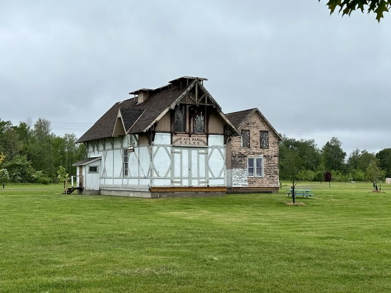
Photographed by J.T. Lambrou, June 12, 2023
2. Life-Saving Station
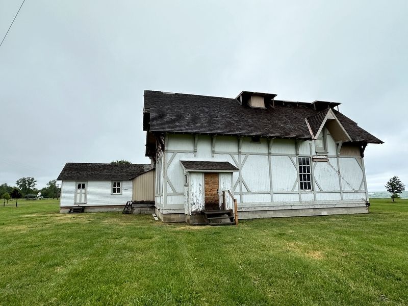
Photographed by J.T. Lambrou, June 12, 2023
3. Life-Saving Station
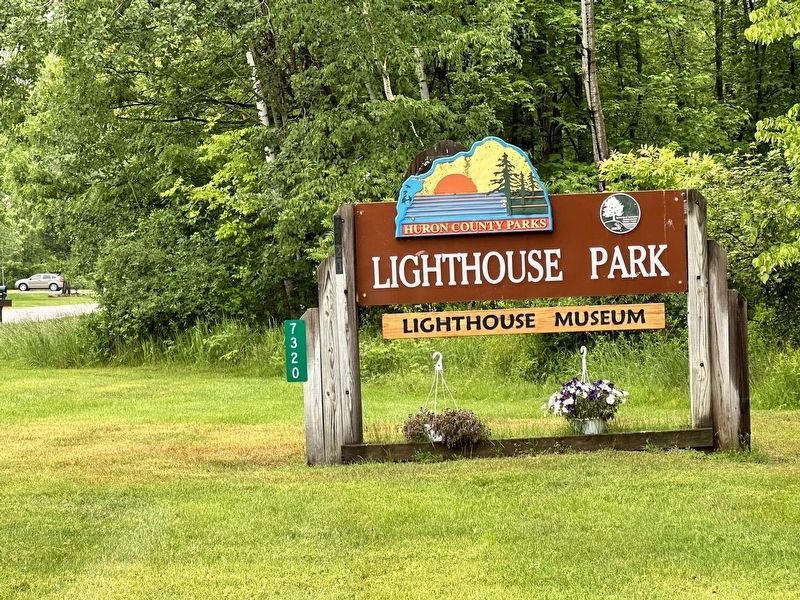
Photographed by J.T. Lambrou, June 12, 2023
4. Lighthouse Park Sign
Credits. This page was last revised on June 30, 2023. It was originally submitted on June 24, 2023, by J.T. Lambrou of New Boston, Michigan. This page has been viewed 167 times since then and 22 times this year. Photos: 1, 2, 3, 4. submitted on June 24, 2023, by J.T. Lambrou of New Boston, Michigan. • J. Makali Bruton was the editor who published this page.
