Pawcatuck in Stonington in New London County, Connecticut — The American Northeast (New England)
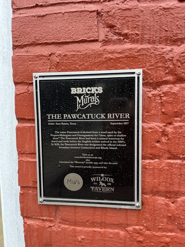
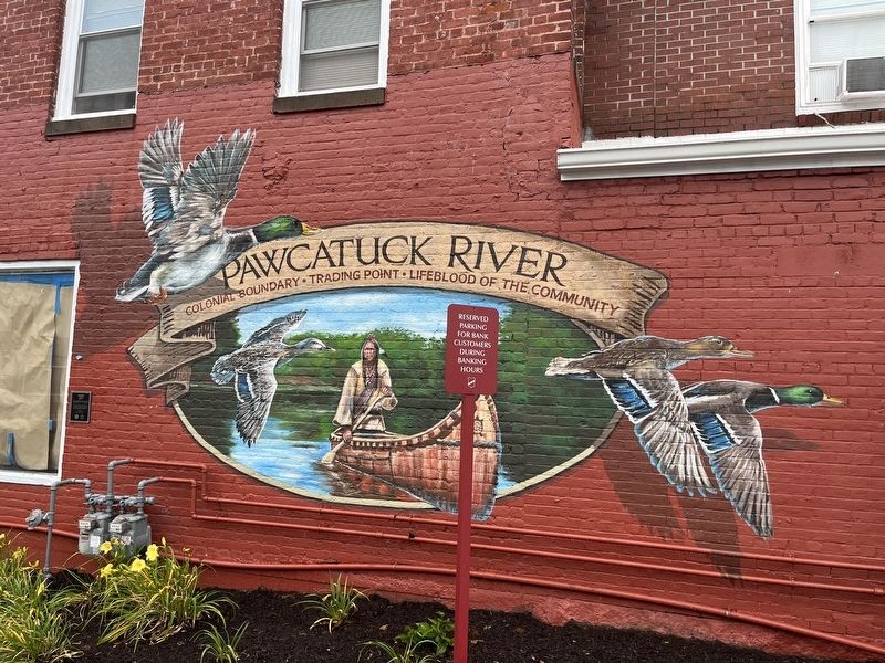
The Pawcatuck River
Artist- Anat Ronen, Texas
September 2017
— Bricks and Murals —
The name Pawtucket is derived from a word used by the Pequot-Mohegans and Narragansetts for "clear, open or shallow river." The Pawtucket River had been a natural waterway for travel and trade before the English settlers arrived in the 1600's. In 1636, the Pawcatuck River was designated the official colonial boundary between Connecticut and Rhode Island.
[On the mural:]
Colonial Boundary • Trading Point • Lifeblood of the Community
Erected 2017 by Bricks and Murals, sponsored by Mia's, Wilcox Tavern.
Topics. This historical marker is listed in these topic lists: Colonial Era • Native Americans • Settlements & Settlers • Waterways & Vessels. A significant historical year for this entry is 1636.
Location. 41° 22.653′ N, 71° 49.946′ W. Marker is in Stonington, Connecticut, in New London County. It is in Pawcatuck. Marker is on West Broad Street (U.S. 1) just east of Mechanic Street, on the right when traveling east. Touch for map. Marker is at or near this postal address: 38 West Broad Street, Pawcatuck CT 06379, United States of America. Touch for directions.
Other nearby markers. At least 8 other markers are within walking distance of this marker. This Site Is Dedicated (within shouting distance of this marker); USS Pawcatuck Veterans Monument (within shouting distance of this marker); POW-MIA Memorial (within shouting distance of this marker); Pawcatuck Bridge (within shouting distance of this marker); Westerly – Pawcatuck War Memorial (about 300 feet away, measured in a direct line in Rhode Island); First Bridge over Pawcatuck River (about 300 feet away in Rhode Island); a different marker also named Pawcatuck River (about 300 feet away in Rhode Island); WHS vs. SHS Football Rivalry (about 300 feet away). Touch for a list and map of all markers in Stonington.
Credits. This page was last revised on December 18, 2023. It was originally submitted on June 26, 2023, by Devry Becker Jones of Washington, District of Columbia. This page has been viewed 65 times since then and 13 times this year. Photos: 1, 2. submitted on June 26, 2023, by Devry Becker Jones of Washington, District of Columbia.

