Mystic in Stonington in Southeastern Region, Connecticut — The American Northeast (New England)
Thomas Downing, Oyster King
The Sea Connects Us
| — | Mystic Seaport Museum | — |
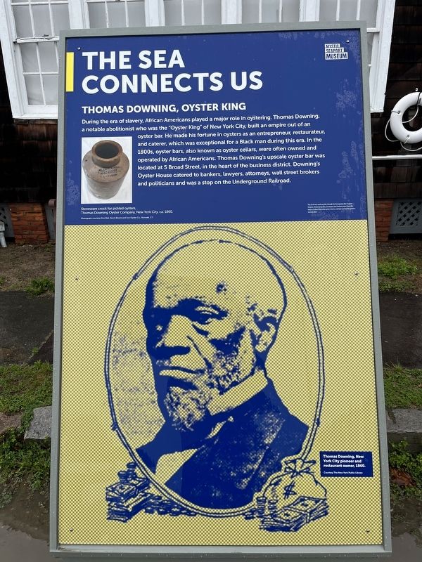
Erected 2022 by Mystic Seaport Museum.
Topics. This historical marker is listed in these topic lists: Abolition & Underground RR • African Americans • Animals • Industry & Commerce • Waterways & Vessels. A significant historical year for this entry is 1860.
Location. 41° 21.658′ N, 71° 57.928′ W. Marker is in Stonington in Southeastern Region, Connecticut. It is in Mystic. It can be reached from the intersection of Greenmanville
this page online

Regionally, this marker is on the Connecticut Shoreline, in Greater New London, in Mystic and the Eastern Shore, and in the Thames River Valley. It is also in the American Northeast, in New England, and on the Eastern Seaboard. Globally, it is in the North Atlantic Region, North America, the Western Hemisphere, the Western World, and the Anglosphere. Historically, it finds itself in what was once New London County and also one of the original Thirteen Colonies.
Other nearby markers. At least 8 other markers are within walking distance of this marker: It's All Connected (a few steps from this marker); Noank Well-Smack Emma C. Berry (a few steps from this marker); Lobster Car (a few steps from this marker); Noank Well-Smack Emma C. Berry (a few steps from this marker); Master Shipbuilders (within shouting distance of this marker); Western-Rig Dragger Florence (within shouting distance of this marker); Maine Sloop Boat Estella A
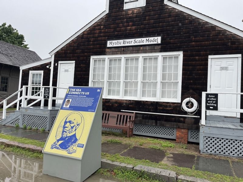
Another marker is no longer nearby. Western-Rig Dragger Florence (was within shouting distance of this marker but has been replaced with another marker now near it).
Credits. This page was last revised on May 19, 2026. It was originally submitted on June 27, 2023, by Devry Becker Jones of Washington, District of Columbia. This page has been viewed 507 times since then and 49 times this year. Photos: 1, 2. submitted on June 27, 2023, by Devry Becker Jones of Washington, District of Columbia.
