
Mystic in Stonington in Southeastern Region, Connecticut — The American Northeast (New England)
It's All Connected
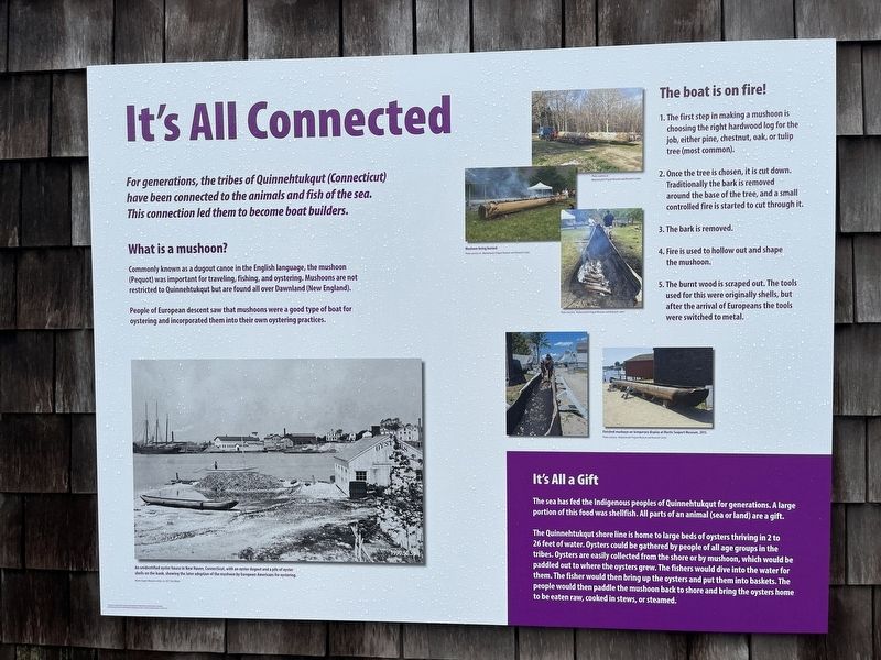
For generations, the tribes of Quinnehtukqut (Connecticut) have been connected to the animals and fish of the sea. This connection led them to become boat builders.
What is a mushoon?
Commonly known as a dugout canoe in the English language, the mushoon (Pequot) was important for traveling, fishing, and oystering. Mushoons are not restricted to Quinnehtuqut but are found all over Dawnland (New England).
People of European descent saw that mushoons were a good type of boat for oystering and incorporated them into their own oystering practices.
This boat is on fire!
1. The first step in making a mushoon is choosing the right hardwood log for the job, either pine, chestnut, oak, or tulip tree (most common).
2. Once the tree is chosen, it is cut down. Traditionally the bark is removed around the base of the tree, and a small controlled fire is started to cut through it.
3. The bark is removed.
4. Fire is used to hollow out and shape the mushoon.
5. The burnt wood is scraped out. The tools used for this were originally shells, but after the arrival of Europeans the tools were switched to metal.
It's All a Gift
The
this page online
The Quinnehtukqut shore line is home to large beds of oysters thriving in 2 to 26 feet of water. Oysters could be gathered by people of all age groups in the tribes. Oysters are easily collected from the shore or by mushoon, which would be paddled out to where the oysters grew. The fishers would dive into the water for them. The fisher would then bring up the oysters and put them into baskets. The people would then paddle to the mushoon back to shore and bring the oysters home to be eaten raw, cooked in stews, or steamed.
Erected 2022 by Mystic Seaport Museum.
Topics. This historical marker is listed in these topic lists: Animals • Anthropology & Archaeology • Indigenous Peoples and Communities • Waterways & Vessels.
Location. 41° 21.663′ N, 71° 57.931′ W. Marker is in Stonington in Southeastern Region, Connecticut. It is in Mystic. It can be reached from Greenmanville Avenue north of Bruggeman Place,
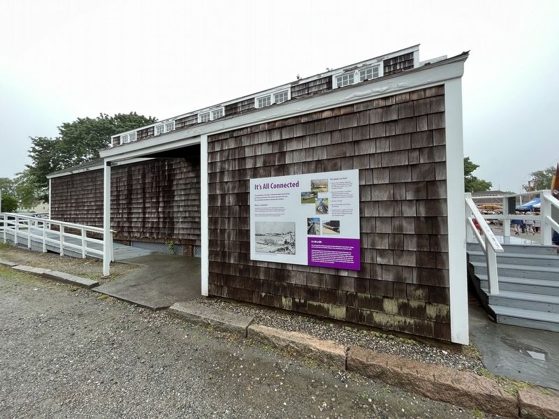

Regionally, this marker is on the Connecticut Shoreline, in Greater New London, in Mystic and the Eastern Shore, and in the Thames River Valley. It is also in the American Northeast, in New England, and on the Eastern Seaboard. Globally, it is in the North Atlantic Region, North America, the Western Hemisphere, the Western World, and the Anglosphere. Historically, it finds itself in what was once New London County and also one of the original Thirteen Colonies.
Other nearby markers. At least 8 other markers are within walking distance of this marker: Lobster Car (a few steps from this marker); Thomas Downing, Oyster King (a few steps from this marker); Noank Well-Smack Emma C. Berry (a few steps from this marker); Noank Well-Smack Emma C. Berry (within shouting distance of this marker); Master Shipbuilders (within shouting distance of this marker); Maine Sloop Boat Estella A (within shouting distance of this marker); Western-Rig Dragger Florence (within shouting distance of this marker); Block Island Fire Engine #1 (within shouting distance of this marker). Touch for a list and map of all markers in Stonington.
Another marker is no longer nearby. Western-Rig Dragger Florence (was within shouting distance of this marker but has been replaced with another marker now near it).
Credits. This page was last revised on May 19, 2026. It was originally submitted on June 28, 2023, by Devry Becker Jones of Washington, District of Columbia. This page has been viewed 176 times since then and 13 times this year. Photos: 1, 2. submitted on June 28, 2023, by Devry Becker Jones of Washington, District of Columbia.
