Near Winchester in Frederick County, Virginia — The American South (Mid-Atlantic)
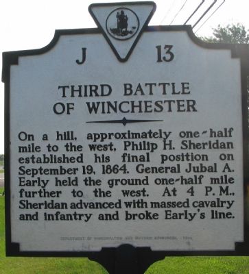
Third Battle of Winchester
Erected 1988 by Department of Conservation and Historic Resources. (Marker Number J-13.)
Topics and series. This historical marker is listed in this topic list: War, US Civil. In addition, it is included in the Virginia Department of Historic Resources (DHR) series list. A significant historical month for this entry is September 1712.
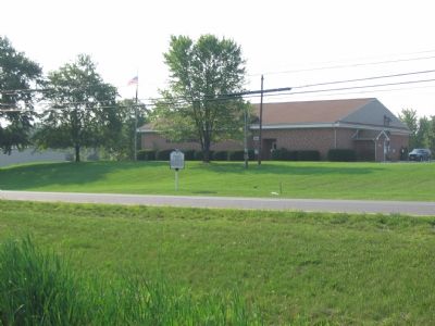
Location. 39° 11.194′ N, 78° 7.507′ W. Marker is near Winchester, Virginia, in Frederick County. Marker is at the intersection of Berryville Pike (Virginia Route 7) and Cole Lane, on the right when traveling west on Berryville Pike. In front of the Winchester American Legion, Post #21. Touch for map. Marker is at or near this postal address: 1730 Berryville Pike, Winchester VA 22603, United States of America. Touch for directions.
Other nearby markers. At least 8 other markers are within walking distance of this marker. Captain Robert Young Conrad (within shouting distance of this marker); Russell Restores the Line (approx. 0.3 miles away); Ricketts’s Attack (approx. 0.4 miles away); North Carolina At Third Winchester (approx. 0.4 miles away); Third Battle Of Winchester (approx. 0.4 miles away); The West Woods (approx. 0.4 miles away); a different marker also named The Third Battle of Winchester (approx. 0.7 miles away); Jost Hite and Winchester (approx. 0.7 miles away). Touch for a list and map of all markers in Winchester.
Regarding Third Battle of Winchester. This marker replaced a previous J 13 which stood on Route 50 at the south entrance to Winchester. The text of the previous marker read, “On this hill, Sheridan, facing west, took his final position, September 19, 1864. Early held position a half mile to the west. At 4 p.m. Sheridan, massing his cavalry and infantry, advanced on Early, whose line was broken by the assault.”
Also see . . . Third Battle of Winchester or Opequon. National Parks Service survey of the battle. (Submitted on September 3, 2007, by Craig Swain of Leesburg, Virginia.)

Photographed By Craig Swain, August 26, 2007
3. Attack of the Federal VI Corps
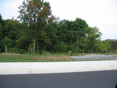
Behind the Winchester Mall, just to the north of Berryville Pike, near the exit ramp for I-81. At the time of the battle, this ravine was a wooded slope. The modern shopping complex road cuts over the stream bed here, giving a false sense of elevation.
Near here Brig. Gen. David A. Ricketts' Division encountered Confederates under General Ramseur. As a gap had opened between Ricketts' line and the XIX Corps to their right, Confederates under General Robert Rodes attempted to split the Federal forces. The fighting around this ravine was intense. General Rodes was mortally wounded in the action.
Near here Brig. Gen. David A. Ricketts' Division encountered Confederates under General Ramseur. As a gap had opened between Ricketts' line and the XIX Corps to their right, Confederates under General Robert Rodes attempted to split the Federal forces. The fighting around this ravine was intense. General Rodes was mortally wounded in the action.
Credits. This page was last revised on February 26, 2020. It was originally submitted on September 3, 2007, by Craig Swain of Leesburg, Virginia. This page has been viewed 1,978 times since then and 26 times this year. Photos: 1, 2, 3. submitted on September 3, 2007, by Craig Swain of Leesburg, Virginia. • J. J. Prats was the editor who published this page.

