
Near Winchester in Frederick County, Virginia — The American South (Mid-Atlantic)
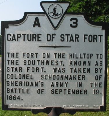
Capture of Star Fort
Photographed by Craig Swain, August 25, 2007
1. Capture of Star Fort Marker
Erected 1937 by Conservation and Development Commission. (Marker Number A-3.)
Topics and series. This historical marker is listed in this topic list: War, US Civil. In addition, it is included in the Virginia Department of Historic Resources (DHR) series list. A significant historical date for this entry is September 19, 1822.
Location. 39° 12.549′ N, 78° 9.041′ W. Marker is near Winchester, Virginia, in Frederick County. It is on Valley Turnpike (U.S. 11), on the right when traveling south. Touch for map. Marker is in this post office area: Winchester VA 22603, United States of America. Touch for directions.

Regionally, this marker is in Virginia’s Shenandoah Valley. It is also in the American South, specifically in the Upper South, and in the Mid-Atlantic. Globally, it is in North America, the Western Hemisphere, the Western World, and the Anglosphere. Historically, it finds itself in what was once the territory of the Mississippian Culture, one of the original
this page online
Other nearby markers. At least 8 other markers are within walking distance of this marker: The Cavalry Charge at Fort Collier (approx. half a mile away); Lt. Collier’s Earthworks (approx. half a mile away); Fort Collier (approx. 0.6 miles away); Fort Collier Stine House (approx. 0.6 miles away); a different marker also named Fort Collier (approx. 0.6 miles away); The Most Reliable Information (approx. 0.6 miles away); a different marker also named Fort Collier (approx. 0.6 miles away); George Washington in Winchester (approx. 0.6 miles away). Touch for a list and map of all markers in Winchester.
Another marker is no longer nearby. Fort Collier (was approx. 0.6 miles away but has been replaced with another marker now near it).
Related markers. Click here for a list of markers that are related to this marker. Markers Discussing Star Fort
Photographed by Craig Swain, August 25, 2007
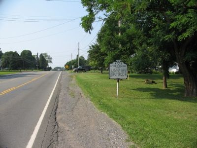
2. A 3 Along the Valley Turnpike
Photographed by Craig Swain, September 15, 2007
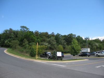
3. Location of Star Fort
The remains of Star Fort stand on a small tract of ground just north of Frederick Pike (US 522) in Winchester. The site is pressed by development on several sides.
Photographed by Craig Swain, September 15, 2007
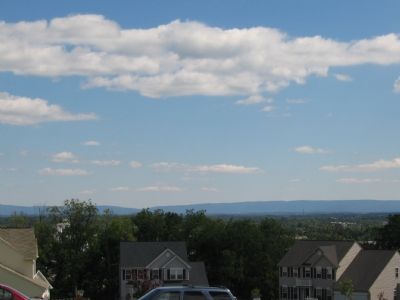
4. View From Position of Star Fort
This view, from the loop running through the housing development just north of the fort location, demonstrates the important tactical location of the fort. In the distance, nearly fourteen miles to the west, is the cleft in the Blue Ridge known as Snickers Gap.
Most of the Third Battle of Winchester played out within the scope of this view - the Berryville Canyon, the Redbud Run area, Stephenson's Depot, Fort Collier, and the final defenses near the National Cemetery.
Most of the Third Battle of Winchester played out within the scope of this view - the Berryville Canyon, the Redbud Run area, Stephenson's Depot, Fort Collier, and the final defenses near the National Cemetery.
Credits. This page was last revised on February 26, 2020. It was originally submitted on September 3, 2007, by Craig Swain of Leesburg, Virginia. This page has been viewed 2,641 times since then and 18 times this year. Photos: 1, 2. submitted on September 3, 2007, by Craig Swain of Leesburg, Virginia. 3, 4. submitted on October 21, 2007, by Craig Swain of Leesburg, Virginia. • J. J. Prats was the editor who published this page.
