
Near Hamilton in Hamilton County, Ohio — The American Midwest (Great Lakes)
The First Link
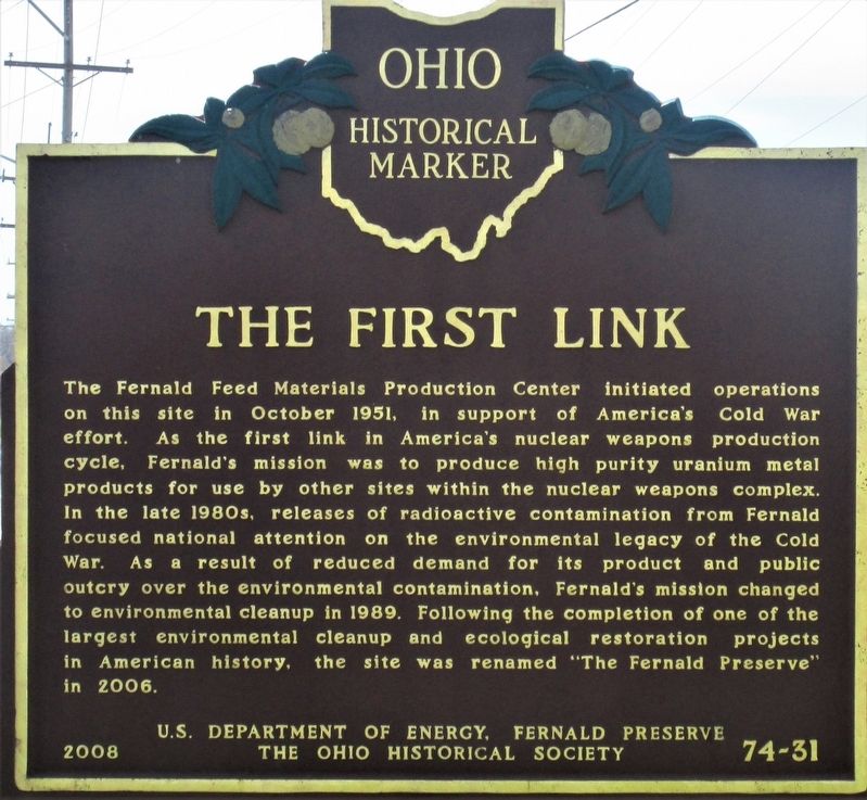
Photographed by Rev. Ronald Irick, March 30, 2021
1. The First Link Marker
Erected 2008 by U.S. Department of Energy, Fernald Preserve, and The Ohio Historical Society. (Marker Number 74-31.)
Topics and series. This historical marker is listed in these topic lists: Environment • Industry & Commerce • War, Cold. In addition, it is included in the Ohio Historical Society / The Ohio History Connection
this page online
Location. 39° 17.288′ N, 84° 40.987′ W. Marker is near Hamilton, Ohio, in Hamilton County. It is at the intersection of Wiley Road and Fernald Preserve Drive, on the right when traveling west on Wiley Road. The marker stands at the front gate of the Fernald Preserve. Touch for map. Marker is at or near this postal address: 7400 Willey Road, Hamilton OH 45013, United States of America. Touch for directions.

Regionally, this marker is in Greater Cincinnati. It is also in the American Midwest and in the Ohio River Valley. Globally, it is in North America, the Western Hemisphere, the Western World, and the Anglosphere. Historically, it finds itself in what was once the Haudenosaunee (Iroquois) Confederacy, the territory of the Mississippian Culture, and the Northwest Territory.
Other nearby markers. At least 8 other markers are within 4 miles of this marker, measured as the crow flies: Greg Snyder (approx. 1.4 miles away); Dunlap's Station (approx. 1.6 miles away); Former Site of Fort Dunlap (approx. 1.6 miles away); Paddy's Run (approx. 3.1 miles away); Meeting House
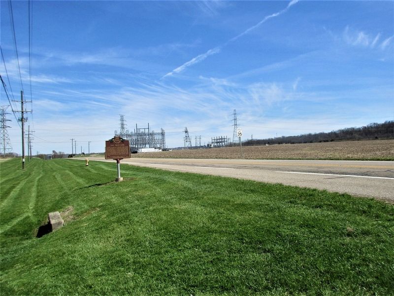
Photographed by Rev. Ronald Irick, March 30, 2021
2. The First Link Marker
Another marker is no longer nearby. Colerain Turnpike Watering Trough (was approx. 2.8 miles away but has been confirmed missing).
Credits. This page was last revised on July 8, 2023. It was originally submitted on March 31, 2021, by Rev. Ronald Irick of West Liberty, Ohio. This page has been viewed 691 times since then and 46 times this year. Last updated on July 7, 2023, by Grant & Mary Ann Fish of Galloway, Ohio. Photos: 1, 2. submitted on March 31, 2021, by Rev. Ronald Irick of West Liberty, Ohio. • Devry Becker Jones was the editor who published this page.
