Thunder Bay in Thunder Bay District, Ontario — Central Canada (North America)
Industry
Cathedrals, Pyramids and Hospitals
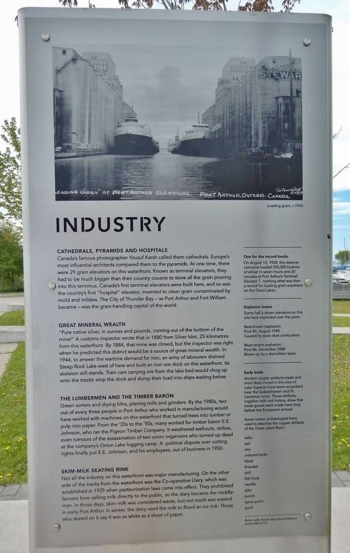
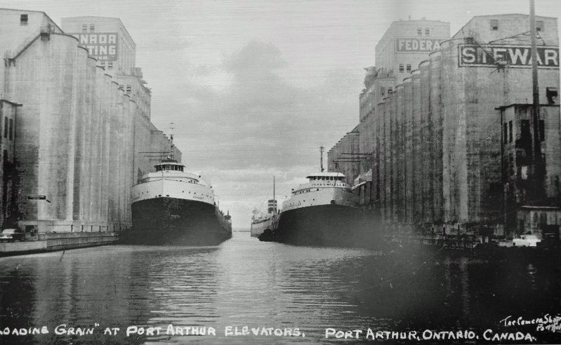
Canada's famous photographer Yousuf Karsh called them cathedrals. Europe's most influential architects compared them to the pyramids. At one time, there were 29 grain elevators on this waterfront. Known as terminal elevators, they had to be much bigger than their country cousins to store all the grain pouring into this terminus. Canada's first terminal elevators were built here, and so was the country's first "hospital" elevator, invented to clean grain contaminated by mold and mildew. The City of Thunder Bay as Port Arthur and Fort William became was the grain-handling capital of the world.
Great Mineral Wealth
"Pure native silver, in ounces and pounds, coming out of the bottom of the mine!" A customs inspector wrote that in 1880 from Silver Islet, 25 kilometres from this waterfront. By 1884, that mine was closed, but the inspector was right when he predicted this district would be a source of great mineral wealth. In 1944, to answer the wartime demand for iron, an army of labourers drained Steep Rock Lake west of here and built an iron ore dock on this waterfront. Its skeleton still stands. Train cars carrying ore from the lake bed would chug up onto the trestle atop the dock and dump their load into ships waiting below.
The Lumbermen and the Timber Baron
Green sorters and drying kilns, planing mills and grinders. By the 1980s, two out of every three people in Port Arthur who worked in manufacturing would have worked with machines on this waterfront that turned trees into lumber or pulp into paper. From the '20s to the '50s, many worked for timber baron E.E. Johnson, who ran the Pigeon Timber Company. It weathered walkouts, strikes, even rumours of the assassination of two union organizers who turned up dead at the company's Onion Lake logging camp. A political dispute over cutting rights finally put E.E. Johnson, and his employees, out of business in 1950.
Skim-milk Skating Rink
Not all the industry on this waterfront was major manufacturing. On the other side of the tracks from the waterfront was the Co-operative Dairy, which was established in 1925 when pasteurization laws came into effect. They prohibited farmers from selling milk directly to the public, so the dairy became the middle-man. In those days, skim milk was considered waste, but not much was wasted in early Port Arthur. In winter, the dairy used the milk to flood an ice rink. Those who skated on it say it was as white as a sheet of paper.
One for the record books
On August 13, 1928, the steamer Lemoyne loaded 555,000 bushels of wheat in seven hours and 20 minutes at Port Arthur's Terminal Elevator 7, marking what was then a record for loading grain anywhere on the Great Lakes.
Explosive losses
Some half a dozen elevators on this site have exploded over the years.
Best-known explosion:
Pool #5, August 1945
Caused by grain dust combustion
Most recent explosion:
Pool #6, December 2000
Blown up by a demolition team
Early trade
Ancient copper artifacts made and most likely mined in this area of Lake Superior have been excavated near the Saskatchewan and St. Lawrence rivers. Those artifacts, together with oral history, show that trade goods were made here long before the Europeans arrived.
Some names archeologists have used to describe the copper artifacts of the Great Lakes Basin:
adze • awl • axe • crescent knife • bead • bracelet • drill • fish hook • needle • pike • punch • spear point • spud
Topics. This historical marker is listed in these topic lists: Agriculture • Anthropology & Archaeology • Industry & Commerce • Waterways & Vessels.
Location. 48° 25.991′ N, 89° 13.026′ W. Marker is in Thunder Bay, Ontario
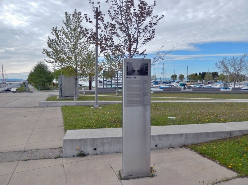
, in Thunder Bay District. Marker can be reached from Sleeping Giant Parkway, 0.2 kilometers north of Pearl Street, on the right when traveling north. Marker is located in the Thunder Bay Waterfront Plaza. Touch for map. Marker is at or near this postal address: 2210 Sleeping Giant Parkway, Thunder Bay ON P7A 0E7, Canada. Touch for directions.
Other nearby markers. At least 8 other markers are within walking distance of this marker. 9,000 Years (about 90 meters away, measured in a direct line); Canadian Northern Railway Station (about 90 meters away); Red River Road (about 90 meters away); The Railway (about 120 meters away); Mariners (about 120 meters away); Port Arthur (about 120 meters away); Canadian Navy (about 150 meters away); Thunder Bay Tourist Pagoda (about 150 meters away). Touch for a list and map of all markers in Thunder Bay.
Credits. This page was last revised on July 14, 2023. It was originally submitted on July 11, 2023, by Cosmos Mariner of Cape Canaveral, Florida. This page has been viewed 41 times since then and 7 times this year. Photos: 1, 2, 3. submitted on July 12, 2023, by Cosmos Mariner of Cape Canaveral, Florida.


