Thunder Bay in Thunder Bay District, Ontario — Central Canada (North America)
Red River Road
The First Highway to the West
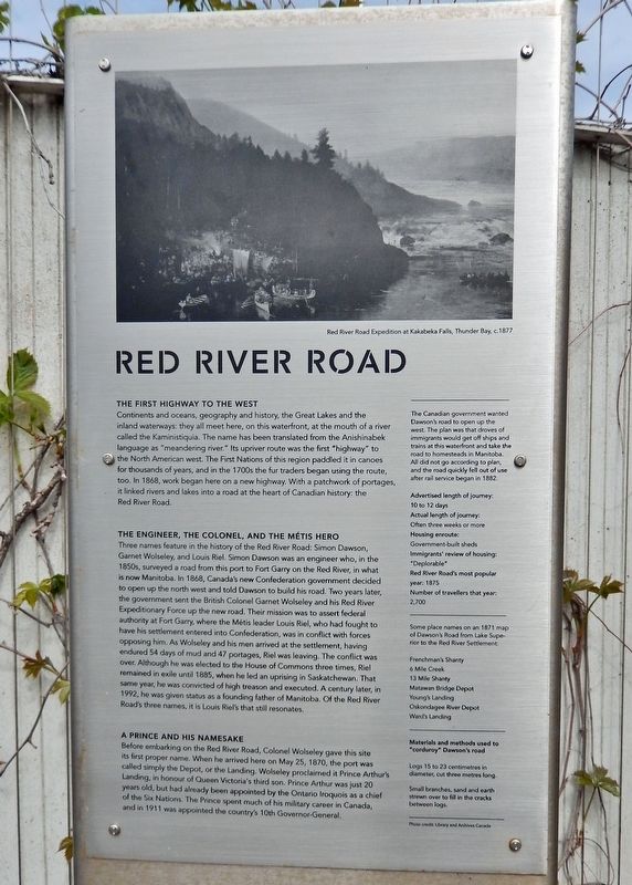
Continents and oceans, geography and history, the Great Lakes and the inland waterways: they all meet here, on this waterfront, at the mouth of a river called the Kaministiquia. The name has been translated from the Anishinabek language as "meandering river." Its upriver route was the first "highway" to the North American west. The First Nations of this region paddled it in canoes for thousands of years, and in the 1700s the fur traders began using the route, too. In 1868, work began here on a new highway. With a patchwork of portages, it linked rivers and lakes into a road at the heart of Canadian history: the Red River Road.
The Engineer, the Colonel, and the Métis Hero
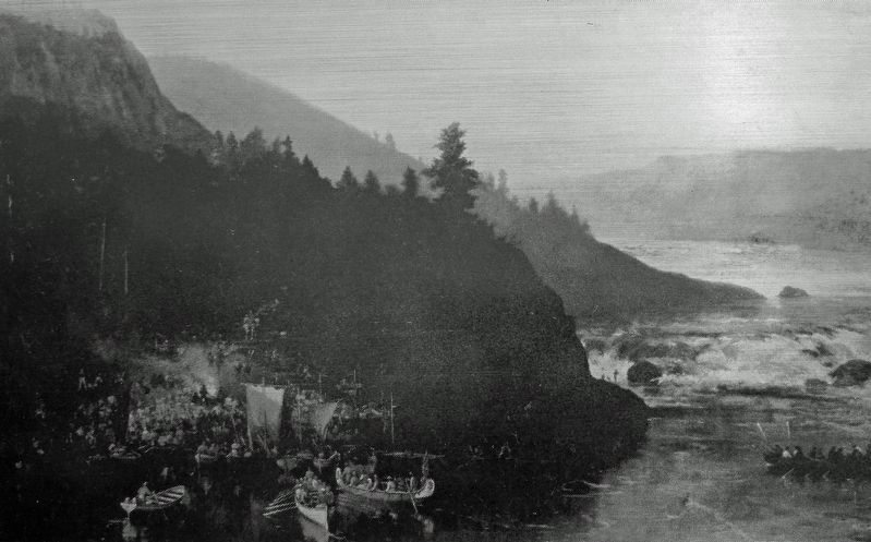
Three names feature in the history of the Red River Road: Simon Dawson, Garnet Wolseley, and Louis Riel. Simon Dawson was an engineer who, in the 1850s, surveyed a road from this port to Fort Garry on the Red River, in what is now Manitoba. In 1868, Canada's new Confederation government decided to open up the north west and told Dawson to build his road. Two years later, the government sent the British Colonel Garnet Wolseley and his Red River Expeditionary Force up the new road. Their mission was to assert federal authority at Fort Garry, where the Métis leader Louis Riel, who had fought to have his settlement entered into Confederation, was in conflict with forces opposing him. As Wolseley and his men arrived at the settlement, having endured 54 days of mud and 47 portages, Riel was leaving. The conflict was over. Although he was elected to the House of Commons three times, Riel remained in exile until 1885, when he led an uprising in Saskatchewan. That same year, he was convicted of high treason and executed. A century later, in 1992, he was given status as a founding father of Manitoba. Of the Red River Road's three names, it is Louis Riel's that still resonates.
A Prince and his Namesake
Before embarking on the Red River Road, Colonel Wolseley gave this site its first proper name. When he arrived here on May 25, 1870, the port was called simply the Depot, or the Landing. Wolseley proclaimed it Prince Arthur's Landing, in honour of Queen Victoria's third son. Prince Arthur was just 20 years old, but had already been appointed by the Ontario Iroquois as a chief of the Six Nations. The Prince spent much of his military career in Canada, and in 1911 was appointed the country's 10th Governor-General.
The Canadian government wanted Dawson's road to open up the west. The plan was that droves of immigrants would get off ships and trains at this waterfront and take the road to homesteads in Manitoba. All
did not go according to plan, and the road quickly fell out of use after rail service began in 1882.
Advertised length of journey:
10 to 12 days
Actual length of journey:
Often three weeks or more
Housing enroute:
Government-built sheds
Immigrants' review of housing:
"Deplorable"
Red River Road's most popular year:
1875
Number of travellers that year:
2,700
Some place names on an 1871 map of Dawson's Road from Lake Superior to the Red River Settlement:
Frenchman's Shanty • 6 Mile Creek • 13 Mile Shanty • Matawan Bridge Depot • Young's Landing • Oskondagee River Depot • Ward's Landing
Materials and methods used to "corduroy" Dawson's road
Logs 15 to 23 centimetres in diameter, cut three metres long.
Small branches, sand and earth strewn over to fill in the cracks between logs.
Topics. This historical marker is listed in these topic lists: Native Americans • Roads & Vehicles • Settlements & Settlers • Waterways & Vessels. A significant historical year for this entry is 1868.
Location. 48° 26.043′ N, 89° 13.053′ W. Marker is in Thunder Bay, Ontario, in Thunder Bay District. Marker is on Sleeping Giant Parkway, 0.4 kilometers north
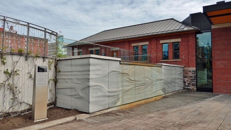
of Pearl Street, on the left when traveling north. Marker is located along walkway on the south side of the Baggage Building Arts Centre. Touch for map. Marker is at or near this postal address: 2200 Sleeping Giant Parkway, Thunder Bay ON P7A 0E7, Canada. Touch for directions.
Other nearby markers. At least 8 other markers are within walking distance of this marker. The Railway (a few steps from this marker); Port Arthur (a few steps from this marker); Canadian Northern Railway Station (within shouting distance of this marker); Thunder Bay Tourist Pagoda (within shouting distance of this marker); The Tourist Pagoda (within shouting distance of this marker); Port Arthur and its Harbour (within shouting distance of this marker); Canadian Navy (about 90 meters away, measured in a direct line); Industry (about 90 meters away). Touch for a list and map of all markers in Thunder Bay.
Also see . . . Ontario Highway 102. Excerpt:
The history of the Dawson Road began in 1857 when Henry Hind and Simon Dawson were commissioned to survey a route between Lake Superior and the Red River. By 1868, the route was blazed between Shebandowan and what would soon be named Prince Arthur's Landing. In 1870, the Wolseley Expedition set out from Toronto to end the Red River Rebellion. The expedition resulted in the construction of a road along Dawson's route.(Submitted on July 14, 2023, by Cosmos Mariner of Cape Canaveral, Florida.)
Credits. This page was last revised on July 14, 2023. It was originally submitted on July 11, 2023, by Cosmos Mariner of Cape Canaveral, Florida. This page has been viewed 101 times since then and 43 times this year. Photos: 1, 2, 3. submitted on July 14, 2023, by Cosmos Mariner of Cape Canaveral, Florida.


