Loch Raven in Towson in Baltimore County, Maryland — The American Northeast (Mid-Atlantic)
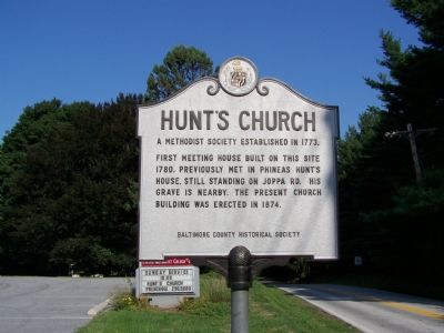
Hunt’s Church
A Methodist Society Established in 1773.
Photographed by William Pfingsten, September 3, 2007
1. Hunt’s Church Marker
Erected by Baltimore County Historical Society.
Topics. This historical marker is listed in these topic lists: Cemeteries & Burial Sites • Colonial Era • Religion & Religious Structures. A significant historical year for this entry is 1773.
Location. 39° 24.573′ N, 76° 39.255′ W. Marker is in Towson, Maryland, in Baltimore County. It is in Loch Raven. It is at the intersection of Joppa Road and Old Court Road, on the right when traveling east on Joppa Road. Touch for map. Marker is at or near this postal address: 1912 Old Court Road, Towson MD 21204, United States of America. Touch for directions.

Regionally, this marker is in the Baltimore Metro Region and in Central Maryland. It is also in the American Mid-Atlantic, in the Chesapeake Bay Region, and on the Eastern Seaboard. Globally, it is in the North Atlantic Region, North America, the Western Hemisphere, the Western World, and the Anglosphere. Historically,
this page online
Other nearby markers. At least 8 other markers are within 3 miles of this marker, measured as the crow flies: Rockland (approx. 0.9 miles away); Nicholas Ruxton Moore (approx. one mile away); The Colored Methodist Protestant St. John’s Chapel of Baltimore County (approx. 1.2 miles away); Axios Farms (approx. 1½ miles away); Lutherville Historic District (approx. 1.7 miles away); Brooklandwood (approx. 2 miles away); Fire Power (approx. 2.2 miles away); Saters Church (approx. 2.4 miles away). Touch for a list and map of all markers in Towson.
Another marker is no longer nearby. Brooklandwood Plantation (was approx. 2 miles away but has been replaced with another marker now near it).
Photographed by Andrea Waters, October 28, 2023
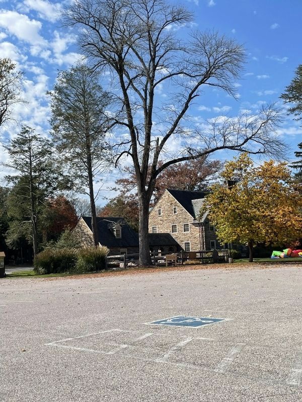
2. Phineas Hunt’s house located behind Hunt Memorial Church
Photographed by William Pfingsten, September 3, 2007
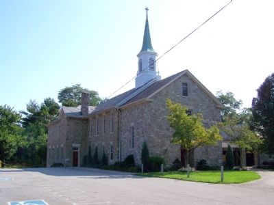
3. Hunt's Methodist Church
Photographed by Andrea Waters, October 28, 2023
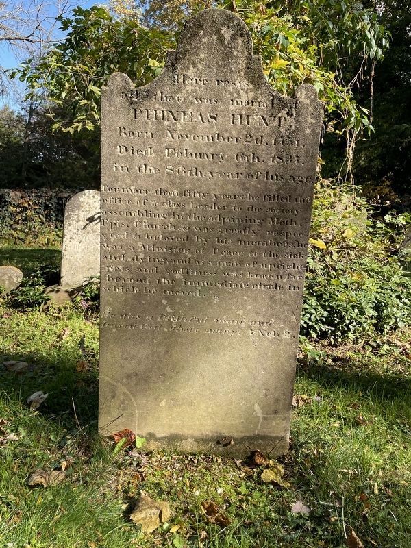
4. Phineas Hunt’s tombstone
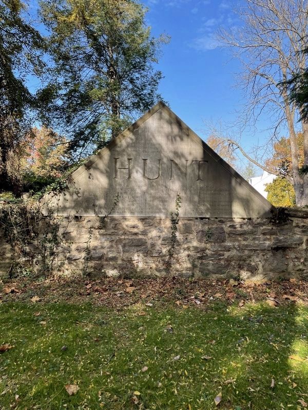
Photographed by Andrea Waters, October 28, 2023
5. Graveyard where Phineas Hunt is buried
Credits. This page was last revised on November 2, 2023. It was originally submitted on September 3, 2007, by Bill Pfingsten of Bel Air, Maryland. This page has been viewed 2,683 times since then and 63 times this year. Photos: 1. submitted on September 3, 2007, by Bill Pfingsten of Bel Air, Maryland. 2. submitted on November 2, 2023, by Andrea Waters of Cambridge, Maryland. 3. submitted on September 3, 2007, by Bill Pfingsten of Bel Air, Maryland. 4. submitted on October 30, 2023, by Andrea Waters of Cambridge, Maryland. 5. submitted on October 31, 2023, by Andrea Waters of Cambridge, Maryland. • J. J. Prats was the editor who published this page.
