Sagamore Hills Township near Brecksville in Summit County, Ohio — The American Midwest (Great Lakes)
Mudcatcher
Filtering the Flow
Photographed by Craig Doda, May 20, 2023
1. Mudcatcher Marker
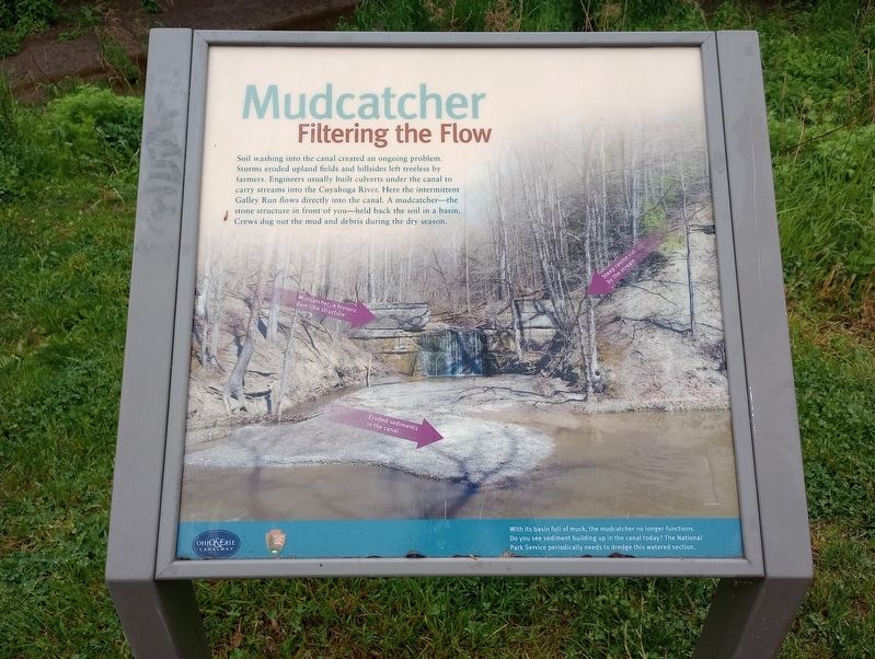
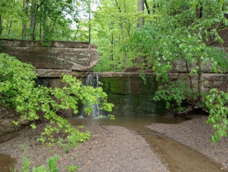
Soil washing into the canal created an ongoing problem. Storms eroded upland fields and hillsides left treeless by farmers. Engineers usually built culverts under the canal to carry streams into the Cuyahoga River. Here the intermittent Galley Run flows directly into the canal. A mudcatcher - the stone structure in front of you - held back the soil in a basin. Crews dug out the mud and debris during the dry season.
[Caption:]
With its basin full of muck, the mudcatcher no longer functions. Do you see sediment building up in the canal today? The National Park Service periodically needs to dredge this watered section.
Erected by Ohio & Erie Canalway; National Park Service, U.S. Department of the Interior.
Topics and series. This historical marker is listed in these topic lists: Environment • Industry & Commerce • Waterways & Vessels. In addition, it is included in the Ohio and Erie Canal series list.
Location. 41° 19.451′ N, 81° 35.24′ W. Marker is near Brecksville, Ohio, in Summit County. It is in Sagamore Hills Township. It is on Ohio & Erie Canal
this page online

Regionally, this marker is in Greater Cleveland and in the Western Reserve. It is also in the American Midwest. Globally, it is in North America, the Western Hemisphere, the Western World, and the Anglosphere. Historically, it finds itself in what was once the Haudenosaunee (Iroquois) Confederacy, the territory of the Mississippian Culture, and the Northwest Territory.
Other nearby markers. At least 8 other markers are within walking distance of this marker: Lock 36 (about 500 feet away, measured in a direct line); Restoring The River (approx. ¼ mile away); Pinery Narrows (approx. 0.3 miles away); The Lure of the Countryside (approx. 0.4 miles away); A Travel Guide for the Valley (approx. 0.4 miles away); Restoring the Cuyahoga River (approx. 0.4 miles away); Ride the Rails (approx. 0.4 miles away); Ohio & Erie Canalway (approx. 0.4 miles away). Touch for a list and map of all markers in Brecksville.
Photographed by Craig Doda, May 20, 2023
2. Mudcatcher Marker
Photographed by Craig Doda, May 20, 2023
3. Mudcatcher
Credits. This page was last revised on July 24, 2023. It was originally submitted on July 17, 2023, by Craig Doda of Napoleon, Ohio. This page has been viewed 218 times since then and 18 times this year. Photos: 1, 2, 3. submitted on July 17, 2023, by Craig Doda of Napoleon, Ohio. • Devry Becker Jones was the editor who published this page.
