Seaport in Manhattan in New York County, New York — The American Northeast (Mid-Atlantic)
Imagination Playground at Burling Slip
0.39 Acre
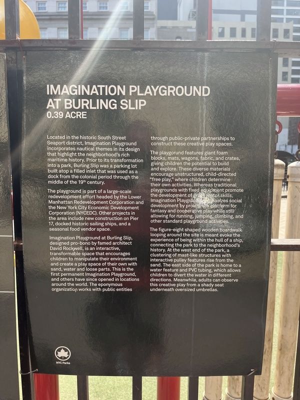
Located in the historic South Street Seaport district, Imagination Playground incorporates nautical themes in its design that highlight the neighborhood's rich maritime history. Prior to its transformation into a park, Burling Slip was a parking lot built atop a filled inlet that was used as a dock from the colonial period through the middle of the 19th century.
The playground is part of a large-scale redevelopment effort headed by the Lower Manhattan Redevelopment Corporation and the New York City Economic Development Corporation (NYCEDC). Other projects in the area include new construction on Pier 17, docked historic sailing ships, and a seasonal food vendor space.
Imagination Playground at Burling Slip, designed pro-bono by famed architect David Rockwell, is an interactive, transformable space that encourages children to manipulate their environment and create a play space of their own with sand, water and loose parts. This is the first permanent Imagination Playground, and others have since opened in locations around the world. The eponymous organization works with public entities through public-private partnerships to construct these creative play spaces.
The playgorund features giant foam blocks, mats, wagons, fabric, and crates, giving children the potential to build and explore. These diverse materials encourage unstructured, child-directed "free play," where children determine their own activities. Whereas traditional playgrounds with fixed equipment promote the development of gross motor skills, Imagination Playground emphasizes social development by providing a platform for fantasy and cooperative play while still allowing for running, jumping, climbing, and other standard playground activities.
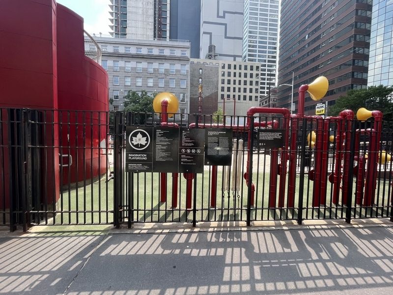
The figure-eight shaped wooden boardwalk looping around the site is meant to evoke the experience of being within the hull of a ship, connecting the park to the neighborhood's history. At the west end of the park, a clustering of mast-like structures with interactive pulley features rise from the sand. The east side of the park is home to a water feature and PVC tubing, which allows children to divert the water in different directions. Meanwhile, adults can observe this creative play from a shady seat underneath oversized umbrellas.
Erected by NYC Parks.
Topics. This historical marker is listed in these topic lists: Industry & Commerce • Parks & Recreational Areas • Roads & Vehicles • Waterways & Vessels.
Location. 40° 42.375′ N, 74° 0.241′ W. Marker is in Manhattan, New York, in New York County. It is in Seaport. Marker can be reached from John Street just north of South Street, on the right when traveling north. The marker hangs along the east side of Imagination Playground. Touch for map. Marker is at or near this postal address: 171 John St, New York NY 10038, United States of America. Touch for directions.
Other nearby markers. At least 8 other markers are within walking distance of this marker. Archaeological Discovery / Making Land (within shouting distance of this marker); Urban Archeology / Then and Now (within shouting distance of this marker); 170-6 John Street, 86 South Street (within shouting distance of this marker); Hip Hop at 50 (within shouting distance of this marker); a different marker also named Hip Hop at 50 (about 300 feet away, measured in a direct line); High Water Mark (about 300 feet away); Ambrose (about 300 feet away); 207 - 211 Water Street (about 300 feet away). Touch for a list and map of all markers in Manhattan.
Credits. This page was last revised on July 17, 2023. It was originally submitted on July 17, 2023, by Devry Becker Jones of Washington, District of Columbia. This page has been viewed 42 times since then and 6 times this year. Photos: 1, 2. submitted on July 17, 2023, by Devry Becker Jones of Washington, District of Columbia.

