Lilydale in Dakota County, Minnesota — The American Midwest (Upper Plains)
Confluence of the Rivers
Photographed by McGhiever, June 9, 2023
1. Confluence of the Rivers Marker
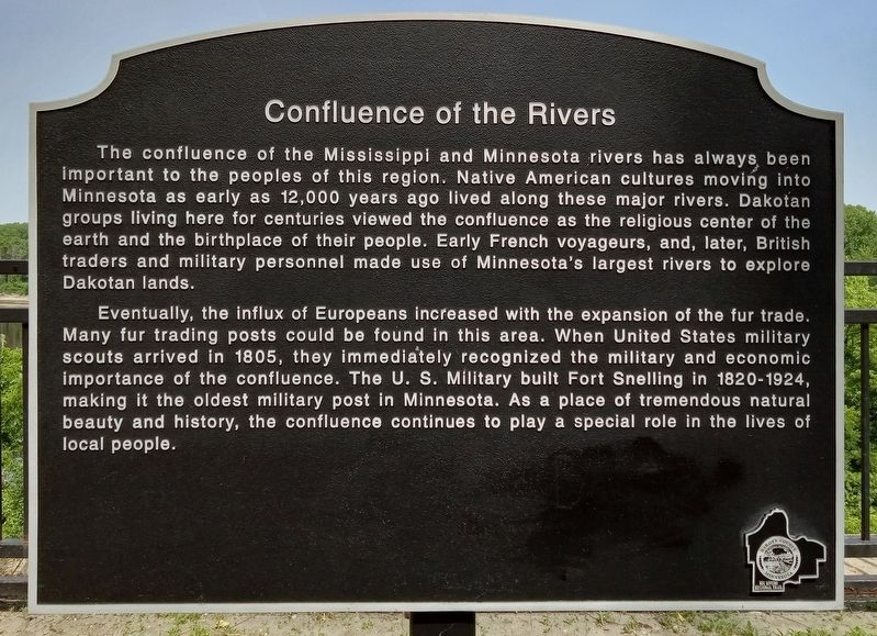
The confluence of the Mississippi and Minnesota rivers has always been important to the peoples of this region. Native American cultures moving into Minnesota as early as 12,000 years ago lived along these major rivers. Dakotan groups living here for centuries viewed the confluence as the religious center of the earth and the birthplace of their people. Early French voyageurs, and, later, British traders and military personnel made use of Minnesota's largest rivers to explore Dakotan lands.
Eventually, the influx of Europeans increased with the expansion of the fur trade. Many fur trading posts could be found in this area. When United States military scouts arrived in 1805, they immediately recognized the military and economic importance of the confluence. The U.S. Military built Fort Snelling in 1820-1924, making it the oldest military post in Minnesota. As a place of tremendous natural beauty and history, the confluence continues to play a special role in the lives of local people.
Erected by Dakota County.
Topics. This historical marker is listed in these topic lists: Forts and Castles • Indigenous Peoples and Communities
this page online
Location. 44° 53.83′ N, 93° 8.827′ W. Marker is in Lilydale, Minnesota, in Dakota County. It can be reached from Sibley Memorial Highway. The marker is on the Big Rivers Regional Trail, just downstream from the confluence of the Mississippi and Minnesota Rivers at Pike Island. Touch for map. Marker is in this post office area: Saint Paul MN 55118, United States of America. Touch for directions.

Regionally, this marker is in the Twin Cities Metropolitan Area. It is also in the American Midwest, in the Corn Belt, and in the Great River Road Region. Globally, it is in North America, the Western Hemisphere, the Western World, and the Anglosphere. Historically, it finds itself in what was once Rupert’s Land, the territory of the Mississippian Culture, and the Louisiana Purchase.
Other nearby markers. At least 8 other markers are within walking distance of this marker: Changing Landscapes Through Time (approx. ¼ mile away); The Railroad and Mendota (approx. half a mile away); Dakotan Daily Life in the 1700s (approx. 0.6 miles
Photographed by McGhiever, June 9, 2023
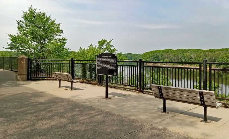
2. Confluence of the Rivers Marker on the Big Rivers Regional Trail
Photographed by McGhiever, June 9, 2023
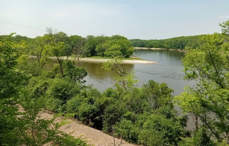
3. Confluence of the Mississippi and Minnesota Rivers from near the marker
Credits. This page was last revised on July 21, 2023. It was originally submitted on July 18, 2023, by McGhiever of Minneapolis, Minnesota. This page has been viewed 280 times since then and 33 times this year. Photos: 1, 2, 3. submitted on July 18, 2023, by McGhiever of Minneapolis, Minnesota. • J. Makali Bruton was the editor who published this page.
