
Addicks / Park Ten in Houston in Harris County, Texas — The American South (West South Central)
Koch-Schmidt Cemetery
Photographed by James Hulse, June 6, 2023
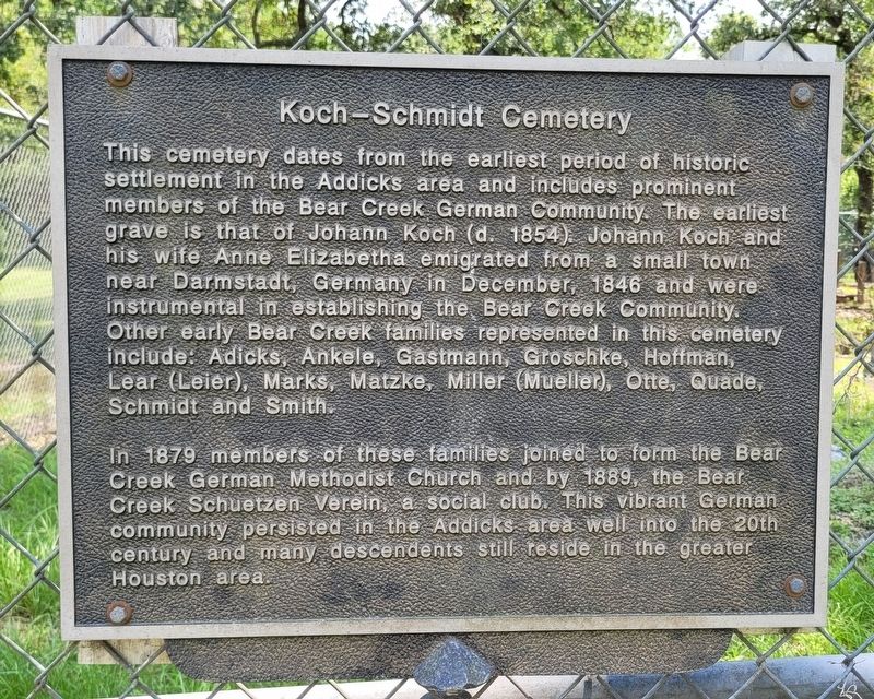
1. Koch-Schmidt Cemetery Marker
In 1879 members of these families joined to form the Bear Creek German Methodist Church and by 1889, the Bear Creek Schuetzen Verein, a social club. This vibrant German community persisted in the Addicks area well into the 20th century and many descendents still reside in the greater Houston area.
Topics. This historical marker is listed in these topic lists: Cemeteries & Burial Sites • Immigration • Settlements & Settlers. A significant historical month for this entry is December 1846.
Location. 29° 48.447′ N, 95° 40.432′ W. Marker is in Houston, Texas,
this page online

Regionally, this marker is in the American South and on the Gulf Coast. Globally, it is in North America, a Gulf of Mexico state, the Western Hemisphere, the Western World, and the Anglosphere. Historically, it finds itself in what was once New Spain, the Republic of Texas, one of the Confederate States of America, and the Antebellum South.
Other nearby markers. At least 8 other markers are within 5 miles of this marker, measured as the crow flies: Bear Creek Methodist Church and Cemetery (approx. 1.8 miles away); Former Site of the Marks LH7 Ranch (approx. 2.3 miles away); LH7 Ranch (approx. 2.3 miles away); Barker Post Office (approx. 2.4 miles away); Wheaton's Ford on the San Felipe Trail (approx. 3.2 miles away); German Immigrants and the Way West (approx. 3.2 miles away); The Post-Juneteenth Migration, 1865 (approx.
Photographed by James Hulse, June 6, 2023
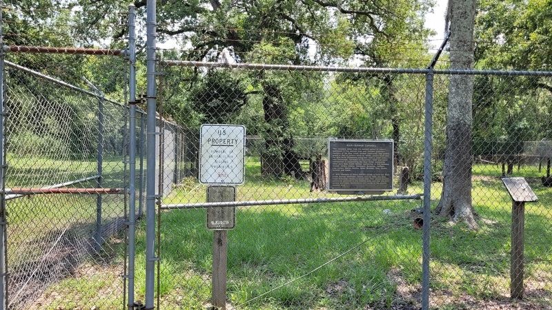
2. The Koch-Schmidt Cemetery and Marker at the cemetery gate
Photographed by James Hulse, June 6, 2023
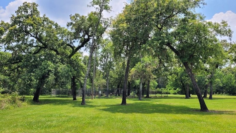
3. The view of the Koch-Schmidt Cemetery from the park road
Credits. This page was last revised on July 20, 2023. It was originally submitted on July 19, 2023, by James Hulse of Medina, Texas. This page has been viewed 1,607 times since then and 197 times this year. Photos: 1, 2, 3. submitted on July 20, 2023, by James Hulse of Medina, Texas.
