Mendota Heights in Dakota County, Minnesota — The American Midwest (Upper Plains)
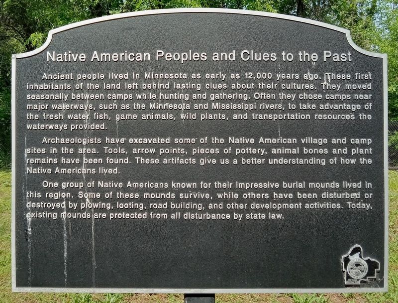
Native American Peoples and Clues to the Past
Ancient people lived in Minnesota as early as 12,000 years ago. These first inhabitants of the land left behind lasting clues about their cultures. They moved seasonally between camps while hunting and gathering. Often they chose camps near major waterways, such as the Minnesota and Mississippi rivers, to take advantage of the fresh water fish, game animals, wild plants, and transportation resources the waterways provided.
Archaeologists have excavated some of the Native American village and camp sites in the area. Tools, arrow points, pieces of pottery, animal bones and plant remains have been found. These artifacts give us a better understanding of how the Native Americans lived.
One group of Native Americans known for their impressive burial mounds lived in this region. Some of these mounds survive, while others have been disturbed or destroyed by plowing, looting, road building, and other development activities. Today, existing mounds are protected from all disturbance by state law.
Topics. This historical marker is listed in these topic lists: Anthropology & Archaeology • Native Americans • Waterways & Vessels.
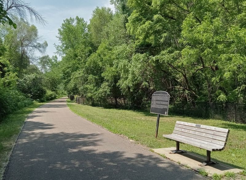
Location. 44° 53.381′ N, 93° 9.353′ W. Marker is in Mendota Heights, Minnesota, in Dakota County. The marker is on the Big Rivers Regional Trail, northeast of where the trail crosses State Highway 13 in Mendota. Touch for map. Marker is in this post office area: Saint Paul MN 55118, United States of America. Touch for directions.
Other nearby markers. At least 8 other markers are within walking distance of this marker. Dakotan Daily Life in the 1700s (about 600 feet away, measured in a direct line); Sibley House Historic Site (approx. 0.4 miles away); Henry Sibley and Old Mendota (approx. half a mile away); The First Stone House (approx. half a mile away); Mendota / Sibley House Association (approx. half a mile away); General Henry Hastings Sibley (approx. half a mile away); Faribault House (approx. half a mile away); "Where the Waters Meet" (approx. half a mile away).
Credits. This page was last revised on July 22, 2023. It was originally submitted on July 21, 2023, by McGhiever of Minneapolis, Minnesota. This page has been viewed 62 times since then and 12 times this year. Photos: 1, 2. submitted on July 21, 2023, by McGhiever of Minneapolis, Minnesota. • J. Makali Bruton was the editor who published this page.

