Lincoln Township near Parsons in Neosho County, Kansas — The American Midwest (Upper Plains)
Oak Grove & the Osage Trail
Inscription.
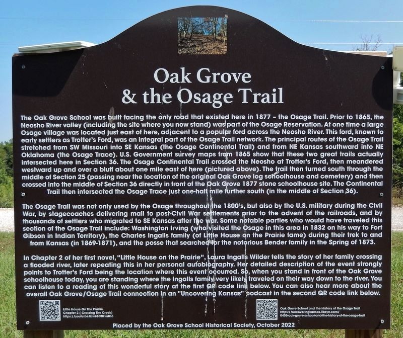
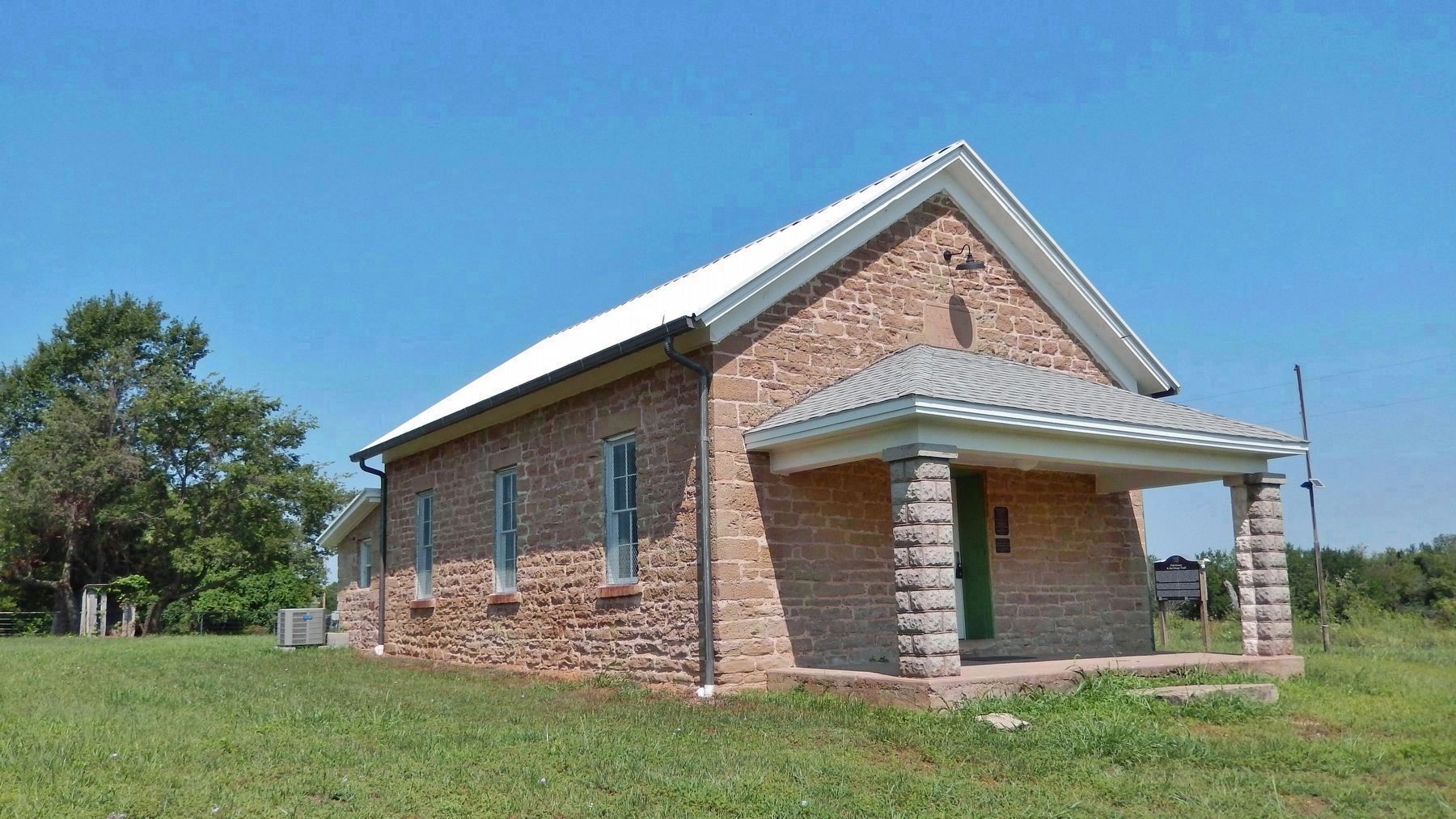
The Oak Grove School was built facing the only road that existed here in 1877 — the Osage Trail. Prior to 1865, the Neosho River valley (including the site where you now stand) was part of the Osage Reservation. At one time a large Osage village was located just east of here, adjacent to a popular ford across the Neosho River. This ford, known to early settlers as Trotter's Ford, was an integral part of the Osage Trail network. The principal routes of the Osage Trail stretched from SW Missouri into SE Kansas (the Osage Continental Trail) and from NE Kansas southward into NE Oklahoma (the Osage Trace). U.S. Government survey maps from 1865 show that these two great trails actually intersected here in Section 36. The Osage Continental Trail crossed the Neosho at Trotter's Ford, then meandered westward up and over a bluff about one mile east of here (pictured above). The trail then turned south through the middle of Section 25 (passing near the location of the original Oak Grove log schoolhouse and cemetery) and then crossed into the middle of Section 36 directly in front of the Oak Grove 1877 stone schoolhouse site. The Continental Trail then intersected the Osage Trace just one-half mile further south (in the middle of Section 36).
The Osage Trail was not only used by the Osage throughout the 1800's, but also by the U.S. military during the Civil War, by stagecoaches delivering mail to post-Civil War settlements prior to the advent of the railroads, and by thousands of settlers who migrated to SE Kansas after the war. Some notable parties who would have traveled this section of the Osage Trail include: Washington Irving (who visited the Osage in this area in 1832 on his way to Fort Gibson in Indian Territory), the Charles Ingalls family (of Little House on the Prairie fame) during their trek to and from Kansas (in 1869-1871), and the posse that searched for the notorious Bender family in the Spring of 1873.
In Chapter 2 of her first novel, "Little House on the Prairie," Laura Ingalls Wilder tells the story of her family crossing a flooded river, later repeating this in her personal autobiography. Her detailed description of the event strongly points to Trotter's Ford being the location where this event occurred. So, when you stand in front of the Oak Grove schoolhouse today, you are standing where the Ingalls family traveled on their way down to the river. You can listen to a reading of this wonderful story at the first QR code link below. You can also hear more about the overall Oak Grove/Osage Trail connection in an "Uncovering Kansas" podcast in the second QR code link below.
Erected 2022 by Oak Grove School Historical Society.
Topics. This historical
marker is listed in these topic lists: Native Americans • Roads & Vehicles • Settlements & Settlers • War, US Civil. A significant historical year for this entry is 1877.
Location. 37° 23.923′ N, 95° 10.202′ W. Marker is near Parsons, Kansas, in Neosho County. It is in Lincoln Township. Marker is on 20th Road, 5˝ miles east of Ottawa Road (U.S. 59), on the right when traveling east. Marker is located on the north side of the historic Oak Grove School. Touch for map. Marker is at or near this postal address: 20505 20th Road, Parsons KS 67357, United States of America. Touch for directions.
Other nearby markers. At least 8 other markers are within 8 miles of this marker, measured as the crow flies. Oak Grove School District No. 20 (here, next to this marker); Oak Grove School (a few steps from this marker); World War I Memorial (approx. 6.4 miles away); Peace Garden (approx. 6.4 miles away); World War II Memorial (approx. 6.4 miles away); Carnegie Library (approx. 6.4 miles away); First Presbyterian Church (approx. 6˝ miles away); Replica of the Statue of Liberty (approx. 7.2 miles away). Touch for a list and map of all markers in Parsons.
Related markers. Click here for a list of markers that are related to this marker. Oak Grove School,
District No. 20
Also see . . .
1. Little House On The Prairie. Chapter 2 "Crossing The Creek". (Submitted on August 2, 2023, by Cosmos Mariner of Cape Canaveral, Florida.)
2. Oak Grove School and the History of the Osage Trail.
Built in 1877, the Oak Grove Schoolhouse has been a gathering place for the community of Lincoln Township for generations. In this episode, Rachel talks with Cary Pruitt and Roger Pruitt from the Oak Grove Schoolhouse Historical Society. Part Family history, part Kansas history, partly a story about family legacy, we think you'll find this episode to be informative, entertaining, and important.(Submitted on August 2, 2023, by Cosmos Mariner of Cape Canaveral, Florida.)
Credits. This page was last revised on August 2, 2023. It was originally submitted on August 2, 2023, by Cosmos Mariner of Cape Canaveral, Florida. This page has been viewed 144 times since then and 63 times this year. Photos: 1, 2, 3. submitted on August 2, 2023, by Cosmos Mariner of Cape Canaveral, Florida.


