Downtown in Hartford in Capitol Region, Connecticut — The American Northeast (New England)
Park History
Ann Uccello
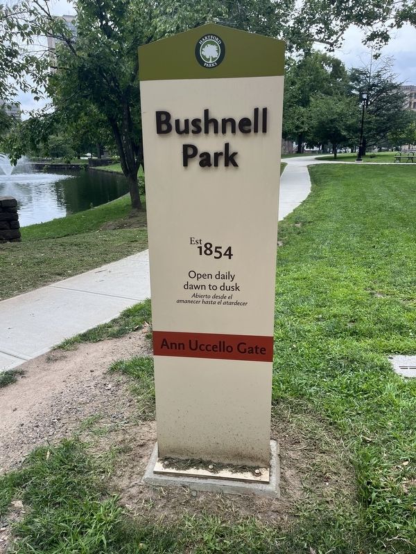
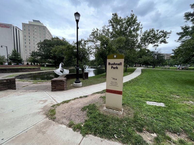
| — | Bushnell Park Est 1854 | — |
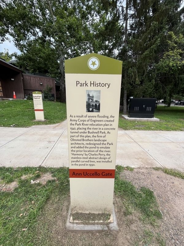
Erected by Hartford Parks.
Topics. This historical marker is listed in these topic lists: Architecture • Arts, Letters, Music • Parks & Recreational Areas • Waterways & Vessels. A significant historical year for this entry is 1941.
Location. 41° 45.903′ N, 72° 40.725′ W. Marker is in Hartford in Capitol Region, Connecticut. It is in Downtown. It is at the intersection of Jewell Street and Ann Uccello Street, on the right when traveling east on Jewell Street. Touch for map. Marker is at or near this postal address: 1 Jewell St, Hartford CT 06103, United States of America. Touch for directions.

Regionally, this marker is in the Connecticut River Valley and in the
this page online
Other nearby markers. At least 8 other markers are within walking distance of this marker: A different marker also named Park History (about 300 feet away, measured in a direct line); Soldiers and Sailors Memorial Arch (about 400 feet away); Horace Wells (about 400 feet away); Horace Wells (about 400 feet away); Soldiers and Sailors Memorial Arch (about 400 feet away); a different marker also named Park History (about 400 feet away); Israel Putnam (about 400 feet away); Spanish War Veterans Memorial (about 500 feet away). Touch for a list and map of all markers in Hartford.
Additional keywords. landscape architecture
Credits. This page was last revised on May 19, 2026. It was originally submitted on August 9, 2023, by Devry Becker Jones of Washington, District of Columbia. This page has been viewed 262 times since then and 25 times this year. Photos: 1, 2, 3. submitted on August 9, 2023, by Devry Becker Jones of Washington, District of Columbia.
