
Downtown in Hartford in Capitol Region, Connecticut — The American Northeast (New England)
The Pump House
Army Corps of Engineers, 1947
| — | [Bushnell Park] | — |
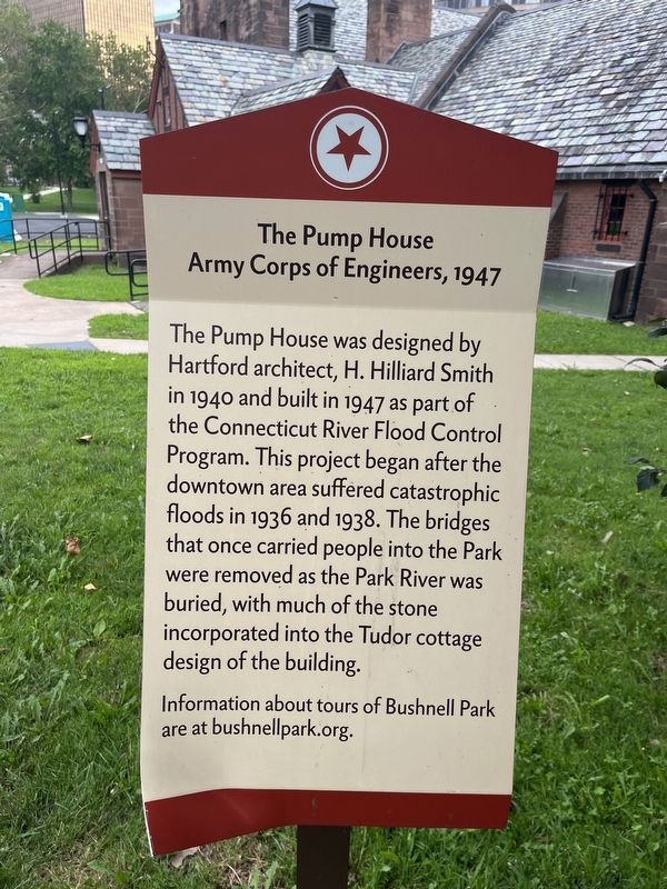
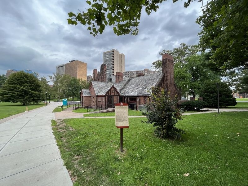
The Pump House was designed by Hartford architect, H. Hilliard Smith in 1940 and built in 1947 as part of the Connecticut River Flood Control Program. This project began after the downtown area suffered catastrophic floods in 1936 and 1938. The bridges that once carried people into the Park were removed as the Park River was buried, with much of the stone incorporated into the Tudor cottage design of the building.
Information about tours of Bushnell Park are at bushnellpark.org.
Erected by Hartford Parks.
Topics. This historical marker is listed in these topic lists: Charity & Public Work • Parks & Recreational Areas • Waterways & Vessels. A significant historical year for this entry is 1940.
Location. 41° 45.806′ N, 72° 40.635′ W. Marker is in Hartford in Capitol Region, Connecticut. It is in Downtown. It is at the intersection of Elm Street and West Street, on the right when traveling west on Elm Street. Touch for map. Marker is at or near this postal address: 60 Elm St, Hartford CT 06103, United States of America. Touch for directions.

Regionally, this marker is in the Connecticut River Valley and
this page online
Other nearby markers. At least 8 other markers are within walking distance of this marker: Park History (within shouting distance of this marker); a different marker also named Park History (about 400 feet away, measured in a direct line); Horace Wells (about 400 feet away); Bushnell Park (about 400 feet away); Horace Wells (about 400 feet away); Jeremy Hoadley (about 500 feet away); Scion of the Charter Oak (about 500 feet away); a different marker also named Park History (about 600 feet away). Touch for a list and map of all markers in Hartford.
Credits. This page was last revised on May 19, 2026. It was originally submitted on August 10, 2023, by Devry Becker Jones of Washington, District of Columbia. This page has been viewed 318 times since then and 24 times this year. Photos: 1, 2. submitted on August 10, 2023, by Devry Becker Jones of Washington, District of Columbia.
