Sheldon Charter Oak in Hartford in Capitol Region, Connecticut — The American Northeast (New England)
City of Hartford
Downtown
| — | Walking Map + Places of Interest | — |
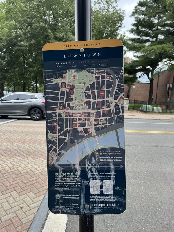
Finding your way on foot in Connecticut's capital city
Downtown Hartford is filled with cultural, civic and commercial destinations, all in a compact district that can be easily traversed on foot in less than 20 minutes.
Hartford's city plan is one of the oldest in America—first laid out around 1635 (just 20 years after the death of Shakespeare). Like other Colonial-era American cities, Hartford's streets follow the natural topography.
The resulting irregular network of streets creates a charming quilt-like plan with interesting urban spaces and vistas. This pattern reflects Hartford's colonial roots, but can be challenging to navigate. The map above is here to help.
Erected by The iQuilt Partnership / Suisman Urban Design.
Topics. This historical marker is listed in these topic lists: Colonial Era • Notable Places • Roads & Vehicles • Settlements & Settlers. A significant historical year for this entry is 1635.
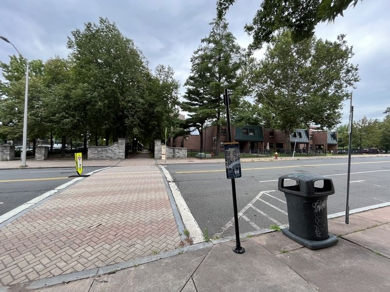
Location. 41° 45.638′ N, 72° 40.411′ W. Marker is in Hartford in Capitol Region, Connecticut. It is in Sheldon Charter Oak. It is at the intersection of South Prospect Street and Pulaski
this page online

Regionally, this marker is in the Connecticut River Valley and in the Knowledge Corridor. It is also in the American Northeast and in New England. Globally, it is in North America, the Western Hemisphere, the Western World, and the Anglosphere. Historically, it finds itself in what was once Hartford County and also one of the original Thirteen Colonies.
Other nearby markers. At least 8 other markers are within walking distance of this marker: General Casimir Pulaski (about 300 feet away, measured in a direct line); Charter Oak Monument (about 500 feet away); McKone Block (about 500 feet away); Charter Oak Temple (about 500 feet away); a different marker also named City of Hartford (about 500 feet away); Park History (about 500 feet away); Second Church of Christ (about 600 feet away); Mark Twain (about 700 feet away). Touch for a list and map of all markers in Hartford.
Credits. This page was last revised on May 19, 2026. It was originally submitted on August 10, 2023, by Devry Becker Jones of Washington, District of Columbia. This page has been viewed 199 times since then and 26 times this year. Photos: 1, 2. submitted on August 10, 2023, by Devry Becker Jones of Washington, District of Columbia.
