Listowel in County Kerry, Munster, Ireland — Irish South-West ((Éire) North Atlantic Ocean)
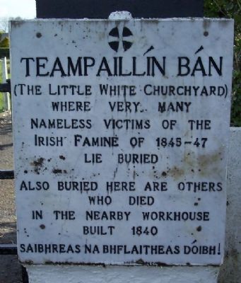
Teampaillín Bán
(The Little White Churchyard)
Photographed by William Fischer, Jr., April 10, 2009
1. Teampaillín Bán Marker
nameless victims of the
Irish Famine of 1845-47
lie buried
Also buried here are others
who died
in the nearby workhouse
built 1840
Saibhreas na bhflaitheas dóibh!
Topics. This historical marker is listed in these topic lists: Cemeteries & Burial Sites • Disasters • Notable Events. A significant historical year for this entry is 1840.
Location. 52° 27.033′ N, 9° 29.853′ W. Marker is in Listowel, Munster, in County Kerry. It is on Ballybunion Road (Road 553) 0.2 kilometers west of John B. Keane Road, on the right when traveling west. Touch for map. Touch for directions.

Regionally, it is on the Atlantic Ocean, in the North Atlantic Region, on the Atlantic Arc, in Europe, on the Island of Ireland, on the Celtic Fringe, in the European Union, in Atlantic Europe, on one of the British Isles, in the Western World, and in the Anglosphere.
Other nearby markers. At least 5 other markers are within 16 kilometers of this marker, measured as the crow flies: Maid of Erin (approx. 0.9 kilometers away); "River Fort" (approx. one kilometer away); To the People of Ireland (approx. 10.2 kilometers
this page online
Photographed by William Fischer, Jr., April 10, 2009
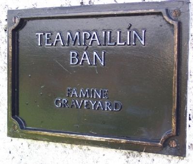
2. Teampaillín Bán Marker
Photographed by William Fischer, Jr., April 10, 2009
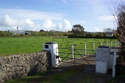
3. Teampaillín Bán Markers
Looking northeast, with unmarked graveyard beyond the gate and wall.
Photographed by William Fischer, Jr., April 10, 2009
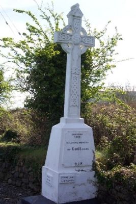
4. Teampaillín Bán Memorial Cross
Erected 1932 in loving memory of Cod's poor. R.I.P.
Photographed by William Fischer, Jr., April 10, 2009
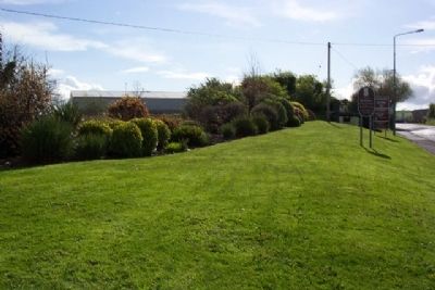
5. Looking SE along Ballybunion Road toward Listowel
Credits. This page was last revised on January 12, 2022. It was originally submitted on October 5, 2009, by William Fischer, Jr. of Reynoldsburg, Ohio. This page has been viewed 1,541 times since then and 9 times this year. Photos: 1, 2, 3, 4, 5. submitted on October 5, 2009.
