South Green in Hartford in Hartford County, Connecticut — The American Northeast (New England)
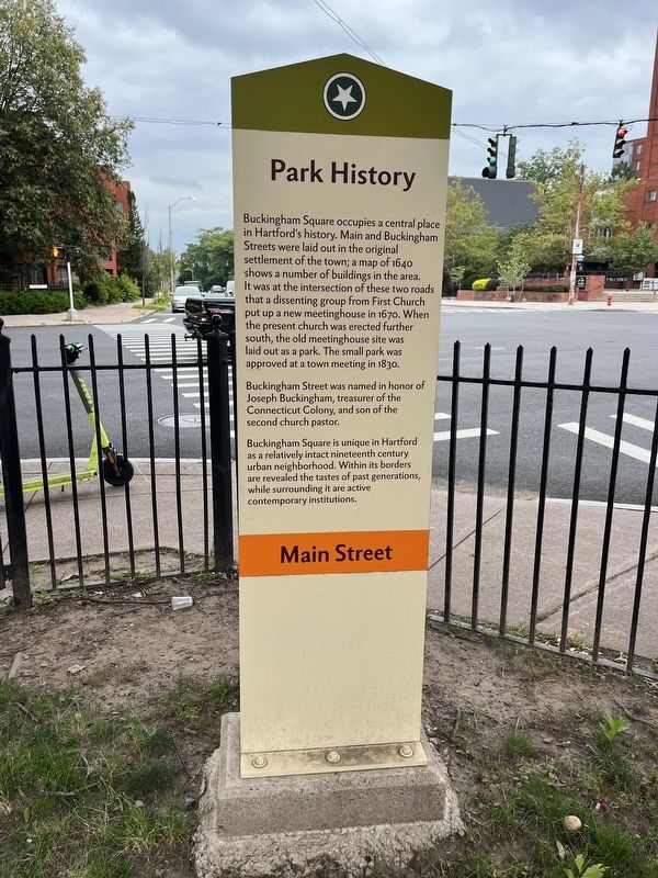
Park History
Main Street
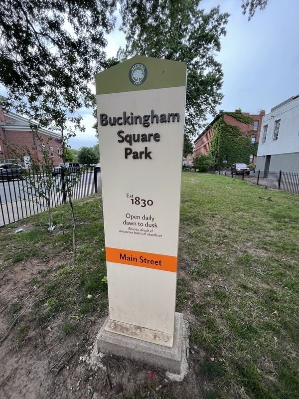
— Buckingham Square Park Est 1830 —
Buckingham Square occupies a central place in Hartford's history. Main and Buckingham Streets were laid out in the original settlement of the town; a map of 1640 shows a number of buildings in the area. It was at the intersection of these two roads that a dissenting group from First Church put up a new meetinghouse in 1760. When the present church was erected further south, the old meetinghouse site was laid out as a park. The small park was approved at a town meeting in 1830.
Buckingham Street was named in honor of Joseph Buckingham, treasurer of the Connecticut Colony, and son of the second church pastor.
Buckingham Church is unique in Hartford as a relatively intact nineteenth century urban neighborhood. Within its borders are revealed the tastes of past generations, while surrounding it are active contemporary institutions.
Erected by Hartford Parks.
Topics. This historical marker is listed in these topic lists: Churches & Religion • Colonial Era • Parks & Recreational Areas • Roads & Vehicles. A significant historical year for this entry is 1640.
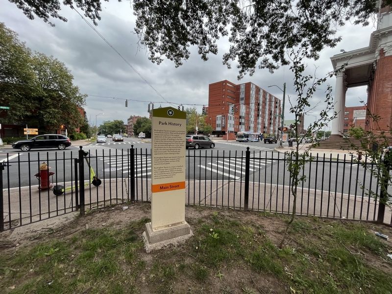
Location. 41° 45.598′ N, 72° 40.52′ W. Marker is in Hartford, Connecticut, in Hartford County. It is in South Green. Marker is at the intersection of Main Street and Buckingham Street, on the right when traveling south on Main Street. Touch for map. Marker is at or near this postal address: 345 Main St, Hartford CT 06106, United States of America. Touch for directions.
Other nearby markers. At least 8 other markers are within walking distance of this marker. Second Church of Christ (within shouting distance of this marker); City of Hartford (within shouting distance of this marker); McKone Block (within shouting distance of this marker); Charter Oak Temple (about 300 feet away, measured in a direct line); General Casimir Pulaski (about 400 feet away); Charter Oak Monument (about 500 feet away); a different marker also named City of Hartford (about 500 feet away); Engine Company 1 Fire Station (about 700 feet away). Touch for a list and map of all markers in Hartford.
Credits. This page was last revised on August 10, 2023. It was originally submitted on August 10, 2023, by Devry Becker Jones of Washington, District of Columbia. This page has been viewed 48 times since then and 15 times this year. Photos: 1, 2, 3. submitted on August 10, 2023, by Devry Becker Jones of Washington, District of Columbia.


