Near Luray in Page County, Virginia — The American South (Mid-Atlantic)
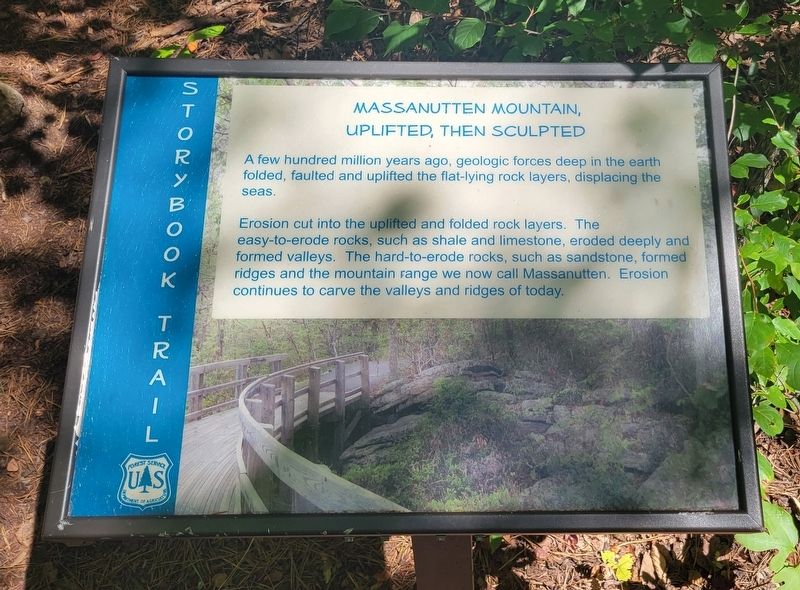
Massanutten Mountain, Uplifted, Then Sculpted
Storybook Trail
Inscription.
A few hundred million years ago, geologic forces deep in the earth folded, faulted and uplifted the flat-lying rock layers, displacing the seas.
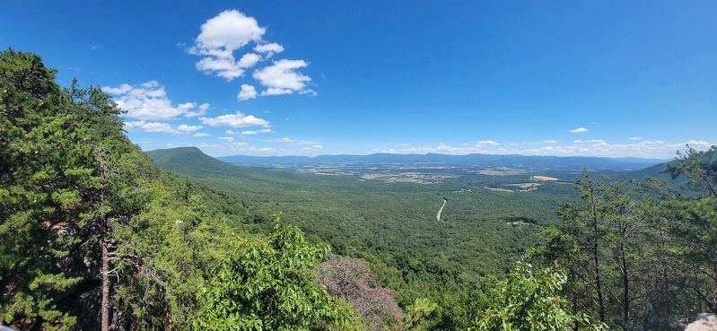
Erosion cut into the uplifted and folded rock layers. The easy-to-erode rocks, such as shale and limestone, eroded deeply and formed valleys. The hard-to-erode rocks, such as sandstone, formed ridges and the mountain range we now call Massanutten. Erosion continues to carve the valleys and ridges of today.
Erected by Forest Service US Department of Agriculture.
Topics. This historical marker is listed in these topic lists: Environment • Natural Features.
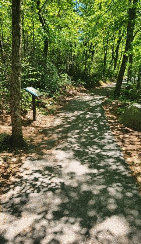
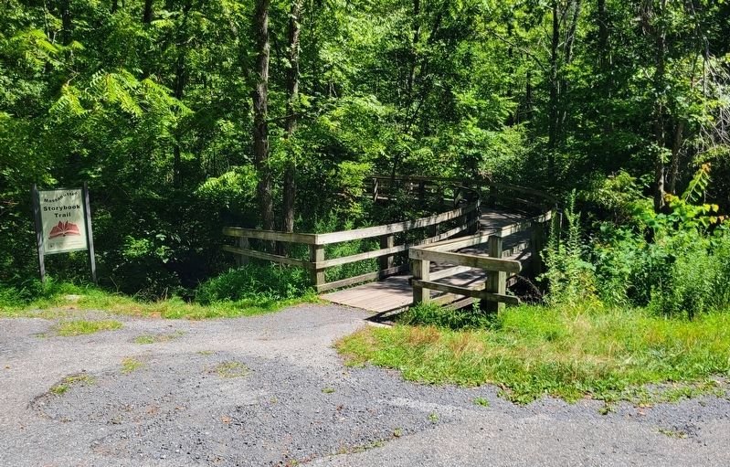
Location. 38° 39.001′ N, 78° 36.245′ W. Marker is near Luray, Virginia, in Page County. Marker can be reached from Crisman Hollow Road (County Route 274) 1˝ miles north of Lee Highway (U.S. 211), on the right when traveling north. Marker is located on the Massanutten Storybook Trail. Touch for map. Marker is in this post office area: Luray VA 22835, United States of America. Touch for directions.
Other nearby markers. At least 8 other markers are within walking distance of this marker. Pressure To Change (about 600 feet away, measured in a direct line); Jackson’s 2nd Corps Established (approx. 0.6 miles away); Page County / Shenandoah County (approx. 0.6 miles away); History Marches Forward (approx. 0.6 miles away); Massanutten Wildflower Trail (approx. 0.7 miles away); Flowering Dogwood (approx. 0.7 miles away); Downy Serviceberry (approx. 0.7 miles away); You Are Invited (approx. 0.7 miles away). Touch for a list and map of all markers in Luray.
Credits. This page was last revised on August 13, 2023. It was originally submitted on August 13, 2023, by Bradley Owen of Morgantown, West Virginia. This page has been viewed 49 times since then and 9 times this year. Photos: 1, 2, 3, 4. submitted on August 13, 2023, by Bradley Owen of Morgantown, West Virginia.


