Deerfield in Franklin County, Massachusetts — The American Northeast (New England)
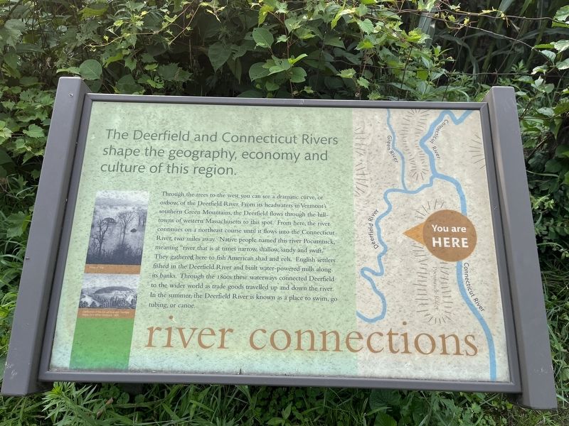
river connections
The Deerfield and Connecticut Rivers shape the geography, economy and culture of this region.
Through the trees to the west you can see a dramatic curve, or oxbow, of the Deerfield River. From its headwaters in Vermont's southern Green Mountains, the Deerfield flows through the hill-towns of western Massachusetts to this spot. From here, the river continues on a northeast course until it flows into the Connecticut River, two miles away. Native people named this river Pocumtuck, meaning "river that is at times narrow, shallow, sandy and swift." They gathered here to fish American shad and eels. English settlers fished in the Deerfield river and built water-powered mills along its banks. Through the 1800s these waterways connected Deerfield to the wider world as trade goods travelled up and down the river. In the summer, the Deerfield River is known as a place to swim, go tubing, or canoe.
Topics. This historical marker is listed in these topic lists: Animals • Colonial Era • Native Americans • Natural Resources • Waterways & Vessels.
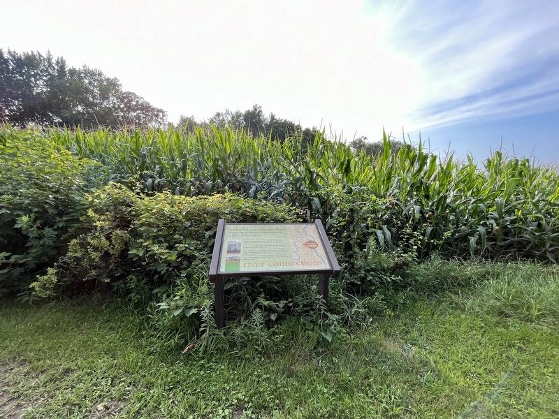
Location. 42° 32.916′ N, 72° 36.497′ W. Marker is in Deerfield, Massachusetts, in Franklin County. Marker can be reached from Old Main Street north of Academy Lane, on the right when traveling north. Touch for map. Marker is at or near this postal address: 89 Old Main St, Deerfield MA 01342, United States of America. Touch for directions.
Other nearby markers. At least 8 other markers are within walking distance of this marker. preservation (within shouting distance of this marker); nature & culture (within shouting distance of this marker); flood & mud (about 400 feet away, measured in a direct line); agriculture (about 700 feet away); farm & house (approx. 0.2 miles away); history (approx. 0.2 miles away); Home of Joseph Stebbins (approx. ¼ mile away); Peter / Adam (approx. ¼ mile away). Touch for a list and map of all markers in Deerfield.
Credits. This page was last revised on August 14, 2023. It was originally submitted on August 14, 2023, by Devry Becker Jones of Washington, District of Columbia. This page has been viewed 47 times since then and 10 times this year. Photos: 1, 2. submitted on August 14, 2023, by Devry Becker Jones of Washington, District of Columbia.

