
William O'Brien State Park near Marine on St. Croix in Washington County, Minnesota — The American Midwest (Upper Plains)
Lake Alice
| — | Riverside Trail | — |
Photographed by McGhiever, September 15, 2021
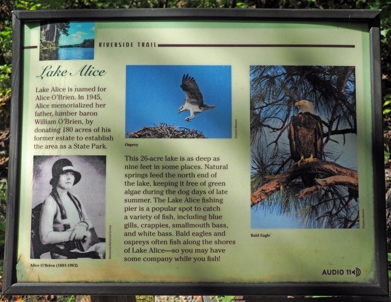
1. Lake Alice Marker
Lake Alice is named for Alice O'Brien. In 1945, Alice memorialized her father, lumber baron William O'Brien, by donating 180 acres of his former estate to establish the area as a State Park.
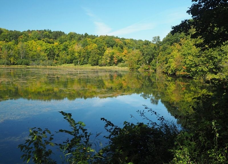
This 26-acre lake is as deep as nine feet in some places. Natural springs feed the north end of the lake, keeping it free of green algae during the dog days of late summer. The Lake Alice fishing pier is a popular spot to catch a variety of fish, including blue gills, crappies, smallmouth bass, and white bass. Bald eagles and ospreys often fish along the shores of Lake Alice—so you may have some company while you fish!
Erected by Minnesota Department of Natural Resources.
Topics. This historical marker is listed in these topic lists: Animals • Charity & Public Work • Parks & Recreational Areas • Women. A significant historical year for this entry is 1945.
Location. 45° 13.403′ N, 92° 45.557′ W. Marker is near Marine on St. Croix, Minnesota, in Washington County. It is in William O'Brien State Park. It can be reached from O'Brien Trail North (County Road 33) east of State Route 95, on the right when traveling south.
this page online

Regionally, this marker is in the Twin Cities Metropolitan Area. It is also in the American Midwest, in the Corn Belt, and in the Great River Road Region. Globally, it is in North America, the Western Hemisphere, the Western World, and the Anglosphere. Historically, it finds itself in what was once Rupert’s Land, the territory of the Mississippian Culture, and the Northwest Territory.
Other nearby markers. At least 8 other markers are within 2 miles of this marker, measured as the crow flies: White Pines (approx. 0.2 miles away); Native Cultures and the River (approx. 0.2 miles away); William O'Brien State Park (approx. 0.3 miles away); Wedge Hill (approx. half a mile away); The Marine Township Hall (approx. 1.7 miles away); Historic Marine on St. Croix (approx. 1.8 miles away); St. Croix National Scenic Riverway (approx. 1.8 miles away); Marine (approx. 1.8 miles away).
Photographed by McGhiever, September 15, 2021
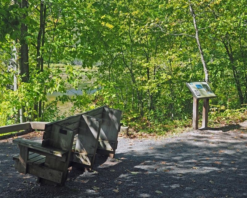
2. Lake Alice Marker on the Riverside Trail in William O'Brien State Park
Another marker is no longer nearby. Technological Revolution (was approx. 1.8 miles away but has been replaced with another marker now near it).
Photographed by McGhiever, September 15, 2021
3. Lake Alice viewed from near this marker
Credits. This page was last revised on August 20, 2023. It was originally submitted on August 15, 2023, by McGhiever of Minneapolis, Minnesota. This page has been viewed 486 times since then and 60 times this year. Photos: 1, 2, 3. submitted on August 15, 2023, by McGhiever of Minneapolis, Minnesota. • Devry Becker Jones was the editor who published this page.
