Near Luray in Page County, Virginia — The American South (Mid-Atlantic)
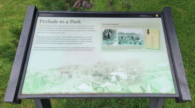
Prelude to a Park
Photographed by Bradley Owen, August 16, 2023
1. Prelude to a Park Marker
"This is no fancy Camp or fashionable resort, and we claim this as one of the greatest advantages we can offer. We do not cater for fashionable patronage, but if you want health, recreation, and rest, these we can give you in abundance."
Stony Man Camp promotional brochure, 1895
What began as a rustic tent camp in 1894 evolved into Skyland Resort, a vacation community of nearly 50 cottages and cabins where proprietor, George Freeman Pollock produced a "constant succession of events sufficient to satisfy even those who find it necessary for their happiness to be amused all the time."
Pollock and other camp regulars worked tirelessly to make Skyland the hub of a new eastern national park and bring a cherished experience of their own to the nation.
(Sidebar):
The Field at Skyland
"Our patrons are cultured, refined people, seeking health, rest, and recreation." Promotional brochure
Pollock's "field" was the site of croquet, tennis, and later, along with the adjacent Recreation Hall, more elaborate pastimes: Pollock's rattlesnake show, Indian Pow-Wows, and elaborate dinners to name a few.
Erected by National
this page online
Topics. This historical marker is listed in this topic list: Parks & Recreational Areas. A significant historical year for this entry is 1895.
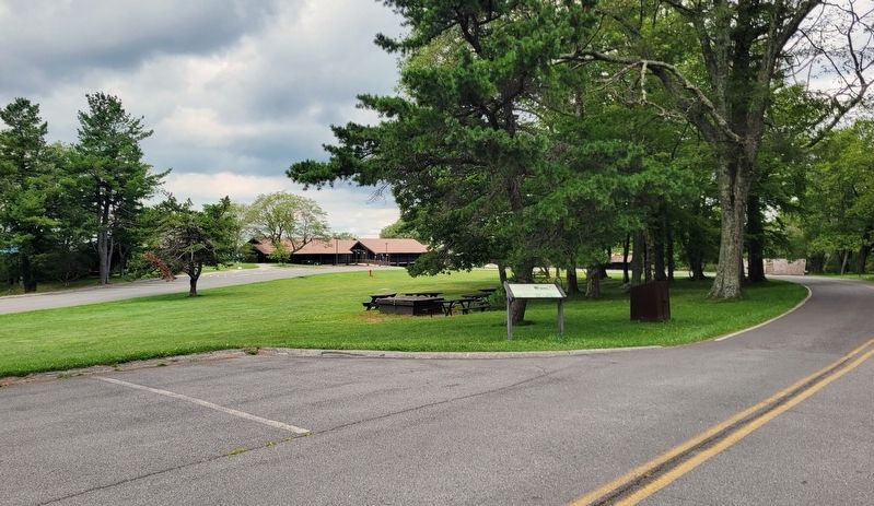
Location. 38° 35.651′ N, 78° 22.897′ W. Marker is near Luray, Virginia, in Page County. It is on Skyland Lower Loop half a mile west of Skyline Drive, on the left when traveling south. Marker is located on the west side of the Skyland Resort Conference Hall. Touch for map. Marker is in this post office area: Luray VA 22835, United States of America. Touch for directions.

Regionally, this marker is in the Shenandoah Valley. It is also in the American South and specifically in the Upper South. Globally, it is in North America, the Western Hemisphere, the Western World, and the Anglosphere. Historically, it finds itself in what was once the territory of the Mississippian Culture, one of the original Thirteen Colonies, one of the Confederate States of America, and the Antebellum South.
Other nearby markers. At least 8 other markers are within 4 miles of this marker, measured as the crow flies: Shenandoah's Centerpiece (about 700 feet away,
Photographed by Bradley Owen, August 16, 2023
2. Prelude to a Park Marker
Other markers no longer nearby. Appalachian Trail High Point (was approx. 0.6 miles away but has been permanently removed); Visiblity-Endangered? (was approx. 1.6 miles away but has been permanently removed); Stony Man (was approx. 1.6 miles away but has been permanently removed).
Credits. This page was last revised on August 16, 2023. It was originally submitted on August 16, 2023, by Bradley Owen of Morgantown, West Virginia. This page has been viewed 221 times since then and 25 times this year. Photos: 1, 2. submitted on August 16, 2023, by Bradley Owen of Morgantown, West Virginia.
