Rione X Campitelli in Roma in Città metropolitana di Roma Capitale, Latium, Rome, Italy — Central Italy (Tyrrhenian Coast)
Il vicus ad Carinas (la strada per le Carine) / The vicus ad Carinas (the road leading to Carinae)
Inscription.
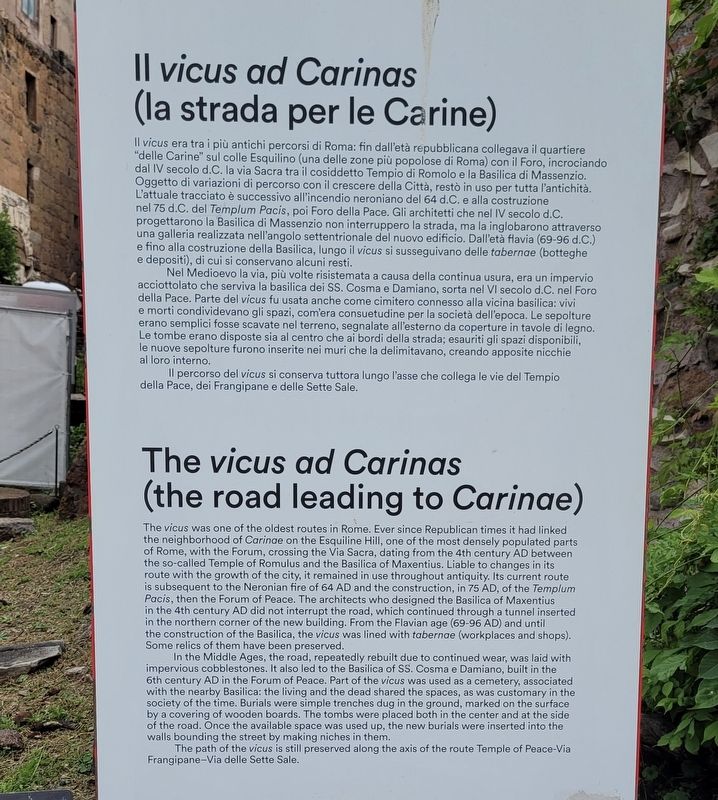
Nel Medioevo la via, più volte risistemata a causa della continua usura, era un impervio acciottolato che serviva la basilica dei SS. Cosma e Damiano, sorta nel VI secolo d.C. nel Foro della Pace. Parte del vicus fu usata anche come cimitero connesso alla vicina basilica: vivi e morti condividevano gli spazi, com'era consuetudine per la società dell'epoca. Le sepolture erano semplici fosse scavate nel terreno, segnalate all'esterno da coperture in tavole di legno. Le tombe erano disposte sia al centro che ai bordi della strada; esauriti gli spazi disponibili, le nuove sepolture furono inserite nei muri che la delimitavano, creando apposite nicchie al loro interno.
Il percorso del vicus si conserva tuttora lungo l'asse che collega le vie del Tempio della Pace, dei Frangipane e delle Sette Sale.
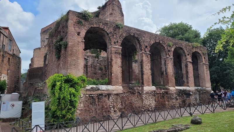
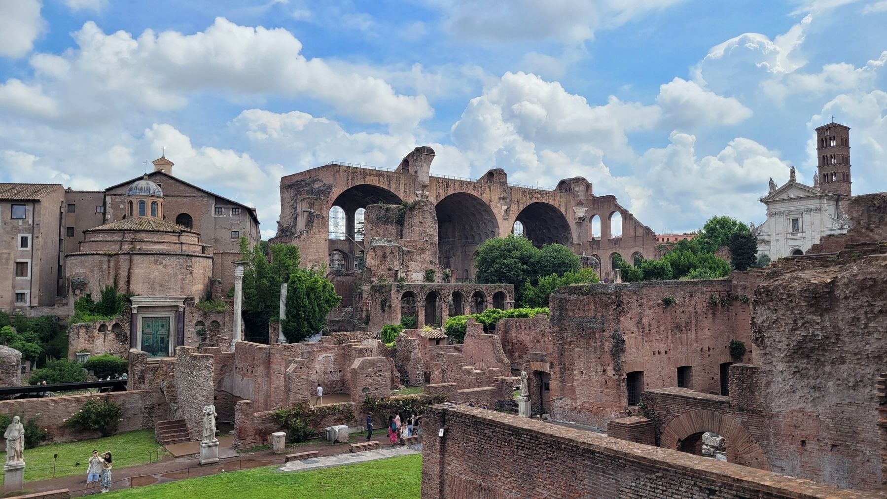
The vicus was one of the oldest routes in Rome. Ever since Republican times it had linked the neighborhood of Carinae on the Esquiline Hill, one of the most densely populated parts of Rome, with the Forum, crossing the Via Sacra, dating from the 4th century AD between the so-called Temple of Romulus and the Basilica of Maxentius. Liable to changes in its route with the growth of the city, it remained in use throughout antiquity. Its current route is subsequent to the Neronian fire of 64 AD and the construction, in 75 AD, of the Templum Pacis, then the Forum of Peace. The architects who designed the Basilica of Maxentius in the 4th century AD did not interrupt the road, which continued through a tunnel inserted in the northern
corner of the new building. From the Flavian age (69-96 AD) and until the construction of the Basilica, the vicus was lined with tabernae (workplaces and shops). Some relics of them have been preserved.
In the Middle Ages, the road, repeatedly rebuilt due to continued wear, was laid with impervious cobblestones. It also led to the Basilica of SS. Cosma e Damiano, built in the 6th century AD in the Forum of Peace. Part of the vicus was used as a cemetery, associated with the nearby Basilica: the living and the dead shared the spaces, as was customary in the society of the time. Burials were simple trenches dug in the ground, marked on the surface by a covering of wooden boards. The tombs were placed both in the center and at the side of the road. Once the available space was used up, the new burials were inserted into the walls bounding the street by making niches in them.
The path of the vicus is still preserved along the axis of the route Temple of Peace-Via Frangipane-Via delle Sette Sale.
Topics. This historical marker is listed in these topic lists: Anthropology & Archaeology • Architecture • Cemeteries & Burial Sites • Industry & Commerce • Roads & Vehicles.
Location. 41° 53.499′ N, 12° 29.245′ E. Marker
is in Roma, Lazio (Latium, Rome), in Città metropolitana di Roma Capitale. It is in Rione X Campitelli. Marker is at the intersection of Via Sacra and Via Nova on Via Sacra. The marker is located west of the Arch of Titus in the Roman Forum. Touch for map. Marker is in this post office area: Roma, Lazio 00186, Italy. Touch for directions.
Other nearby markers. At least 8 other markers are within walking distance of this marker. Portichetto Medievale / Medieval Portico (here, next to this marker); So-Called Temple of Romulus / Tempio Detto di Romolo (within shouting distance of this marker); So-Called Carcer / Cosiddetto Carcer (within shouting distance of this marker); Archaic Burial Ground / Sepolcreto Arcaico (within shouting distance of this marker); Veduta del Tempio di Antonino e Faustina / View of the Temple of Antoninus and Faustina (within shouting distance of this marker); Via Sacra: Il Tempo Che Scorre / Via Sacra: the Passage of Time (within shouting distance of this marker); Horrea Vespasiani / Vespasian's warehouses (within shouting distance of this marker); Temple of Antoninus and Faustina (within shouting distance of this marker). Touch for a list and map of all markers in Roma.
More about this marker. The marker is located in the Parco Archeologico del Colosseo (Roman Forum Archaeological Park) and it does require an entry fee to visit.
Also see . . . Parco Archeologico del Colosseo . Roma Turismo (Submitted on August 16, 2023, by James Hulse of Medina, Texas.)
Credits. This page was last revised on August 17, 2023. It was originally submitted on August 16, 2023, by James Hulse of Medina, Texas. This page has been viewed 98 times since then and 40 times this year. Photos: 1, 2, 3. submitted on August 17, 2023, by James Hulse of Medina, Texas.


