Mission San Juan Bautista in San Benito County, California — The American West (Pacific Coastal)
Mission Cemetery
Photographed by Joseph Alvarado, June 5, 2023
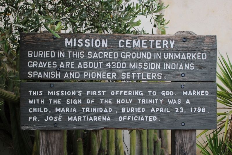
1. Mission Cemetery Marker
Buried in this sacred ground in unmarked graves are about 4300 mission Indians, Spanish and pioneer settlers.
This mission’s first offering to God, marked with the sign of the Holy Trinity was a child, Maria Trinidad, buried April 23, 1798. Fr. José Martiarena officiated.
Topics. This historical marker is listed in these topic lists: Cemeteries & Burial Sites • Indigenous Peoples and Communities • Religion & Religious Structures • Settlements & Settlers. A significant historical date for this entry is April 23, 1798.
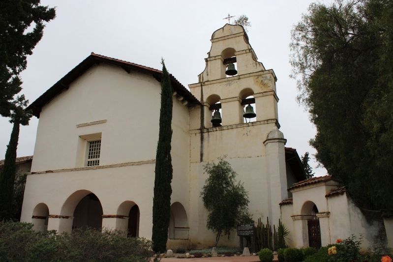
Location. 36° 50.756′ N, 121° 32.13′ W. Marker is in San Juan Bautista, California, in San Benito County. It is in Mission San Juan Bautista. It can be reached from the intersection of Second Street and Mariposa Street, on the right when traveling north. The wood marker is mounted to wood posts next to the cemetery gate, below the bell tower. Touch for map. Marker is in this post office area: San Juan Bautista CA 95045, United States of America. Touch for directions.

Regionally, this marker is on the Central Coast and specifically on the Coast Ranges. It is also on the American Pacific Coast. Globally,
this page online
Other nearby markers. At least 8 other markers are within walking distance of this marker: The San Andreas Fault Exhibit & El Camino Real Earthquake Walk (a few steps from this marker); El Camino Real (a few steps from this marker); Mission San Juan Bautista (within shouting distance of this marker); a different marker also named El Camino Real (within shouting distance of this marker); Vicky’s Cottage (about 300 feet away, measured in a direct line); San Juan Bautista Plaza Historic District (about 400 feet away); Castro/Breen Adobe and Plaza Hotel (about 400 feet away); The Amah Mutsun Garden (about 400 feet away). Touch for a list and map of all markers in San Juan Bautista.
Another marker is no longer nearby. El Camino Real Bell (was about 300 feet away but has been confirmed missing).
Photographed by Joseph Alvarado, June 5, 2023
2. Mission Cemetery Marker
Photographed by Joseph Alvarado, June 5, 2023
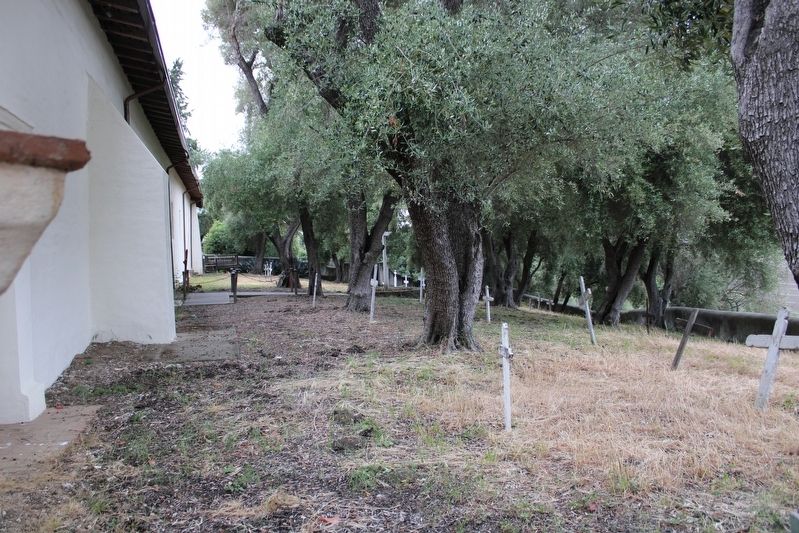
3. Mission Cemetery
Credits. This page was last revised on September 20, 2024. It was originally submitted on August 17, 2023, by Joseph Alvarado of Livermore, California. This page has been viewed 734 times since then and 180 times this year. Photos: 1, 2, 3. submitted on August 17, 2023, by Joseph Alvarado of Livermore, California.
